Peninsula State Park in Fish Creek in Door County, Wisconsin — The American Midwest (Great Lakes)
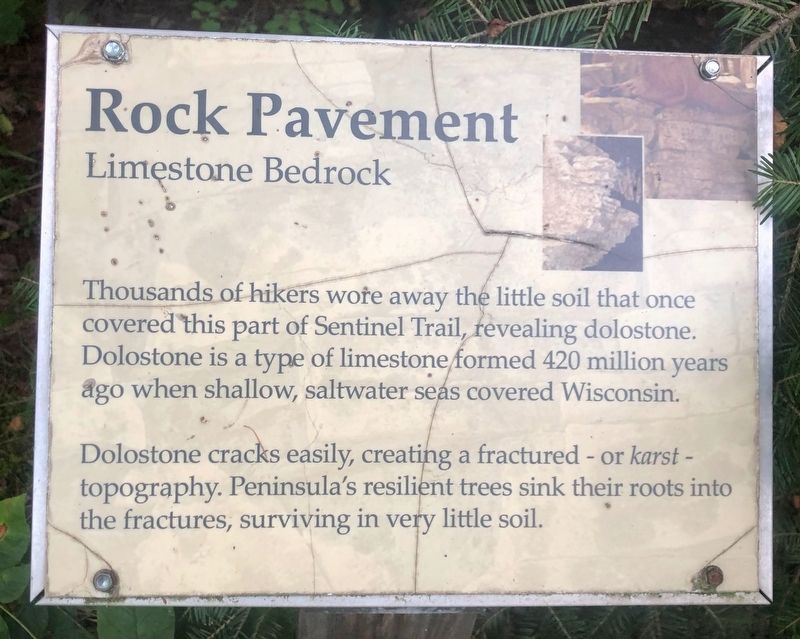
Rock Pavement
Limestone Bedrock
Photographed by Sean Flynn, August 8, 2024
1. Rock Pavement Marker
Dolostone cracks easily, creating a fractured - or karst - topography. Peninsula's resilient trees sink their roots into the fractures, surviving in very little soil.
Topics. This historical marker is listed in these topic lists: Horticulture & Forestry • Natural Features • Parks & Recreational Areas • Science & Medicine.
Location. 45° 9.485′ N, 87° 12.331′ W. Marker is in Fish Creek, Wisconsin, in Door County. It is in Peninsula State Park. It can be reached from Highland Road 1½ miles north of Water Street (Wisconsin Route 43), on the left when traveling north. The marker is in Peninsula State Park, along the Sentinel Trail, west of its intersection with Highland Road and about ¾ of a mile west of the trail's start near the Eagle Tower. Touch for map. Marker is at or near this postal address: 9462 Shore Road, Fish Creek WI 54212,
this page online

Regionally, this marker is on Wisconsin’s Door Peninsula. It is also in the American Midwest and in the Corn Belt. Globally, it is in North America, on the Great Lakes, in the Western Hemisphere, in the Western World, and in the Anglosphere. Historically, it finds itself in what was once the territory of the Mississippian Culture and also the Northwest Territory.
Other nearby markers. At least 8 other markers are within walking distance of this marker: A Worldly Pine (about 500 feet away, measured in a direct line); Growing a Forest (about 700 feet away); The Candelabra Tree (about 700 feet away); Cold Cure (approx. 0.2 miles away); Past Life (approx. 0.2 miles away); Triple Trunk (approx. 0.2 miles away); Late Bloomer (approx. 0.2 miles away); Changing Forest (approx. ¼ mile away). Touch for a list and map of all markers in Fish Creek.
More about this marker. The marker is one of roughly two dozen that have been erected along the Sentinel Trail in Peninsula Park, all pertaining to trees and plants in the park (and many of them also referencing history).
Photographed by Sean Flynn, August 8, 2024
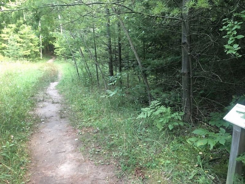
2. Sentinel Trail
An east-facing view of the Rock Pavement Marker
Photographed by Sean Flynn, August 8, 2024
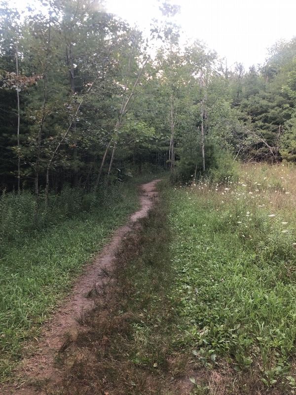
3. Sentinel Trail
A west-facing view, with the marker on the left.
Credits. This page was last revised on August 12, 2024. It was originally submitted on August 11, 2024, by Sean P. Flynn of Oak Park, Illinois. This page has been viewed 132 times since then and 10 times this year. Photos: 1, 2, 3. submitted on August 11, 2024, by Sean P. Flynn of Oak Park, Illinois.
