Liberty Grove in Ellison Bay in Door County, Wisconsin — The American Midwest (Great Lakes)
Ecological Treasures
A Place Like No Other

Photographed by Sean Flynn, August 10, 2024
1. Ecological Treasures Marker
Ancient rivers and glaciers carved valleys through the soft limestone peninsula creating rich and varied environments. A valuable wetland valley, called the Mink River Estuary, stretches from Ellison Bay (in front of you) to Rowleys Bay on the other side of the peninsula.
A Story of Water and Ice
Mighty rivers once surged across the Peninsula from Upper Michigan carving deep valleys through the soft limestone. During the last Ice Age, massive glaciers scoured out Green Bay and widened the valleys. Today, the ancient river valleys are marked by wetlands that stretch across Door County.
Rare Plants and Animals
Ancient river valley wetlands, like the nearby Mink River Estuary, cradle a diversity of habitats that support plants and animals found few other places in Wisconsin.
Mink River Estuary
The Mink River Estuary, where river and Lake Michigan waters blend, is one of the most pristine freshwater estuaries in the country. It is an important fish spawning and bird migration area. Several rare plants and animals call the estuary home.
Erected by Wisconsin Department of Natural Resources; Wisconsin Historical Society.
Topics. This historical marker is listed in these topic lists: Animals • Environment • Parks & Recreational Areas • Waterways & Vessels.
Location. 45° 14.883′ N, 87° 5.095′ W.
this page online

Regionally, this marker is on Wisconsin’s Door Peninsula. It is also in the American Midwest and in the Corn Belt. Globally, it is in North America, on the Great Lakes, in the Western Hemisphere, in the Western World, and in the Anglosphere. Historically, it finds itself in what was once the territory of the Mississippian Culture and also the Northwest Territory.
Other nearby markers. At

Photographed by Sean Flynn, August 9, 2024
2. A Grand View Marker
The "grand view" itself is off camera to the rear.
More about this marker. This marker is next to two others describing the history of the area and another about the Door County Land Trust, a local preservation group.
About 10 additional Coastal Byway "experience hubs" can be found across Door County along the
Photographed by Sean Flynn, August 9, 2024
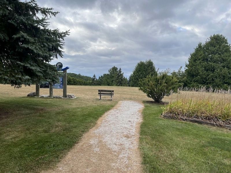
3. Door County Coastal Byway
The walkway from the Liberty Grove Historical Society grounds to the Door County Coastal Byway experience hub that sits on its northern end. The background of the photo is the bluff that overlooks Ellison Bay.
Mink River Estuary, referenced on the marker, is about 2¼ (by car) southeast of here.
Also see . . .
1. Door County Coastal Byway official site. (Submitted on August 14, 2024, by Sean P. Flynn of Oak Park, Illinois.)
2. Mink River Estuary.
The Nature Conservancy: "The estuary at Mink River Preserve is one of the few high-quality estuaries remaining in the United States."(Submitted on August 14, 2024, by Sean P. Flynn of Oak Park, Illinois.)

Photographed by Sean Flynn, August 9, 2024
4. Door County Land Trust
The experience hub at Liberty Grove includes a sign about the Door County Land Trust and the properties in Door County that it has preserved.
Credits. This page was last revised on August 14, 2024. It was originally submitted on August 14, 2024, by Sean P. Flynn of Oak Park, Illinois. This page has been viewed 162 times since then and 24 times this year. Photos: 1, 2, 3, 4. submitted on August 14, 2024, by Sean P. Flynn of Oak Park, Illinois.
