Bar Harbor in Hancock County, Maine — The American Northeast (New England)
Frenchman Bay
Photographed by Beverly Pfingsten, July 18, 2009
1. Frenchman Bay Marker
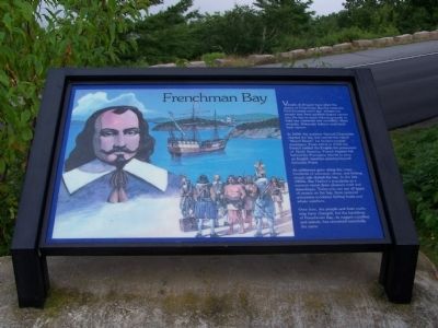
Vessels of all types have plied the waters of Frenchman Bay for centuries. Five thousand years ago, indigenous people may have paddled dugout canoes into the bay to reach fishing grounds or hunt sea mammals and swordfish. More recently, Wabanaki Indians used birch bark canoes.
In 1604, the explorer Samuel Champlain charted the bay and named this island "Mount Desert" for its bare-topped mountains. From 1613 to 1760 the French battled the English for possession of North America. French frigates hid behind the Porcupine Islands to prey on English warships passing beyond Schoodic Point.
As settlement grew along the coast, hundreds of schooner, sloop, and fishing smack sails dotted the bay. In the late 1800s, Bar Harbor's popularity as a summer resort drew pleasure craft and steamboats. Today you can see all types of vessels on the bay, from restored schooners to lobster fishing boats and whale watchers.
Over time, the people and their crafts may have changed, but the backdrop of Frenchman Bay, its rugged coastline and islands, has remained essentially the same.
Topics. This historical marker is listed in these
this page online
Location. 44° 24.319′ N, 68° 14.233′ W. Marker is in Bar Harbor, Maine, in Hancock County. It is on Paradise Hill Rd. Touch for map. Marker is in this post office area: Bar Harbor ME 04609, United States of America. Touch for directions.

Regionally, this marker is on Mount Desert Island and in Downeast Maine. It is also in the American Northeast, in New England, and on the Eastern Seaboard. Globally, it is in the North Atlantic Region, North America, the Great North Woods, the Western Hemisphere, the Western World, and the Anglosphere. Historically, it finds itself in what was once the Viceroyalty of New France and also Acadia.
Other nearby markers. At least 8 other markers are within 2 miles of this marker, measured as the crow flies: The French Connection (a few steps from this marker); Ocean Highways (a few steps from this marker); Signs of the Seasons (approx. 0.6 miles away); The 1947 Fire (approx. 1½ miles away); DeGregoire Green (approx. 1½ miles away); The Great Fire / Le Grand Incendie
Photographed by Beverly Pfingsten, July 18, 2009
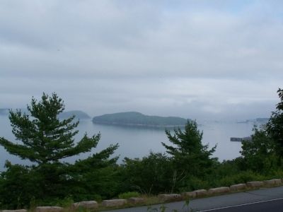
2. Frenchman Bay on a foggy day.
More about this marker. Mark is in the overlook of Acadia National Park.
Photographed by Beverly Pfingsten, July 18, 2009
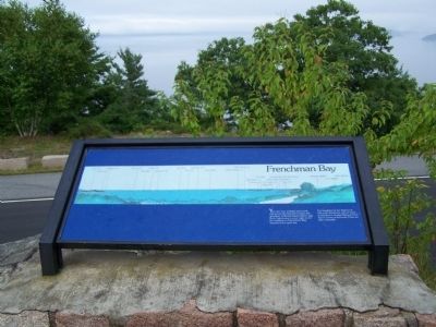
3. Frenchman Bay with identification of islands.
You are now looking east-north-east across the bay that borders this quadrant of Mount Desert Island. egg Rock Lighthouse to your right marks the entrance to Frenchman Bay; beyond is the open sea.
The headland in the distance is Schoodic Peninsula, part of which is included in Acadia National Part. Storm waves at Schoodic Point are often dramatic.
The headland in the distance is Schoodic Peninsula, part of which is included in Acadia National Part. Storm waves at Schoodic Point are often dramatic.
Photographed by Cosmos Mariner, July 14, 2008
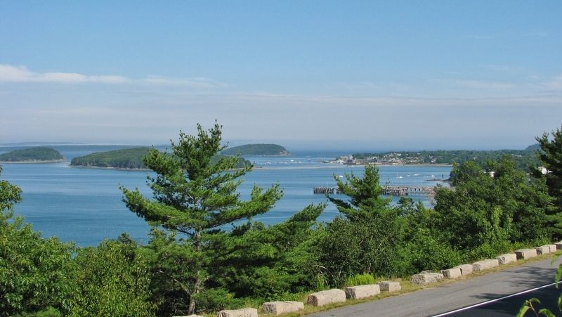
4. Frenchman Bay on a Clear Day (wide view)
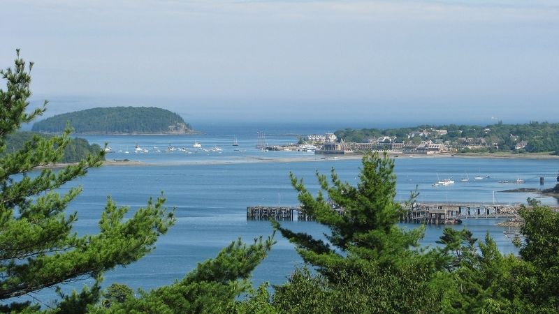
Photographed by Cosmos Mariner, July 14, 2008
5. Frenchman Bay on a Clear Day (Bar Harbor view)
Credits. This page was last revised on January 10, 2025. It was originally submitted on December 13, 2009, by Bill Pfingsten of Bel Air, Maryland. This page has been viewed 1,690 times since then and 53 times this year. Photos: 1, 2, 3. submitted on December 13, 2009, by Bill Pfingsten of Bel Air, Maryland. 4, 5. submitted on April 6, 2017, by Cosmos Mariner of Cape Canaveral, Florida.
