Belleville in Hastings County, Ontario — Central Canada (North America)
The Thurlow Purchase
Photographed by Cosmos Mariner, May 30, 2024
1. The Thurlow Purchase Marker
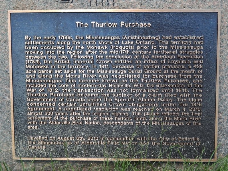
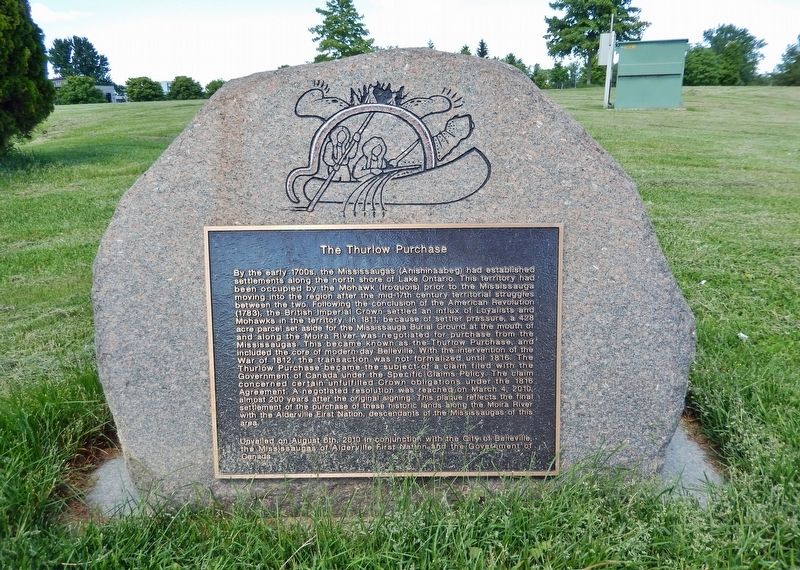
By the early 1700s, the Mississaugas (Anishinaabeg) had established settlements along the north shore of Lake Ontario. This territory had been occupied by the Mohawk (Iroquois) prior to the Mississauga moving into the region after the mid-17th century territorial struggles between the two. Following the conclusion of the American Revolution (1783), the British Imperial Crown settled an influx of Loyalists and Mohawks in the territory. In 1811, because of settler pressure, a 428 acre parcel set aside for the Mississauga Burial Ground at the mouth of and along the Moira River was negotiated for purchase from the Mississaugas. This became known as the Thurlow Purchase, and included the core of modern-day Belleville. With the intervention of the War of 1812, the transaction was not formalized until 1816. The Thurlow Purchase became the subject of a claim filed with the Government of Canada under the Specific Claims Policy. The claim concerned certain unfulfilled Crown obligations under the 1816 Agreement. A negotiated resolution was reached on March 4, 2010, almost 200 years after the original signing. This plaque reflects
this page online
Unveiled on August 6th, 2010 in conjunction with the City of Belleville, the Mississaugas of Alderville First Nation, and the Government of Canada.
Erected 2010 by City of Belleville.
Topics. This historical marker is listed in these topic lists: Cemeteries & Burial Sites • Indigenous Peoples and Communities • Settlements & Settlers • Waterways & Vessels. A significant historical year for this entry is 1816.
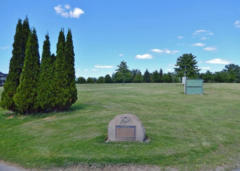
Location. 44° 9.29′ N, 77° 22.642′ W. Marker is in Belleville, Ontario, in Hastings County. It is at the intersection of South Front Street and Bayshore Trail, on the left when traveling south on South Front Street. The marker is located at the southwest corner of Jane Forrester Park. Touch for map. Marker is at or near this postal address: 1 South Front Street, Belleville ON K8N 2Y3, Canada. Touch for directions.

Regionally, this marker is in Eastern Ontario and specifically in Southeastern Ontario. It is also in Central Canada. Globally,
Photographed by Cosmos Mariner, May 30, 2024
2. The Thurlow Purchase Marker
Other nearby markers. At least 8 other markers are within walking distance of this marker: The Belle of the Bay / Strolling Meyers Pier (about 120 meters away, measured in a direct line); Jane Forrester Park (about 120 meters away); Home of the Wharf Rats (about 180 meters away); Sir Mackenzie Bowell (approx. 0.4 kilometers away); Site of the Wharf Street Debating Club from 1921-2013 (approx. 0.4 kilometers away); Belleville (approx. 0.6 kilometers away); Market Square (approx. one kilometer away); George Zegouras Market Square (approx. one kilometer away). Touch for a list and map of all markers in Belleville.
Also see . . . Alderville First Nation History.
Excerpt: Alderville has been home to the Mississauga Anishinabeg of the Ojibway Nation since the mid-1830’s. Before that time the people lived in their traditional lands around Bay(Submitted on September 3, 2024, by Cosmos Mariner of Cape Canaveral, Florida.)of Quinte (Grape Island) but with the influx of refugee settlement after the American Revolution their existence found itself under increased pressure. The British having lost the American colonies after 1783, were forced to relocate the soldiers and civilians that had been loyal to the King during the conflict. For this reason, the Bay of Quinte became one area of settlement for those who became known as the United Empire Loyalists. The Mississauga then were directly involved in early “land surrenders” along the St. Lawrence River and the Bay, allowing this resettlement to occur.Photographed by Cosmos Mariner, May 30, 20243. The Thurlow Purchase MarkerLooking northeast through Jane Forrester Park.
Credits. This page was last revised on September 3, 2024. It was originally submitted on September 1, 2024, by Cosmos Mariner of Cape Canaveral, Florida. This page has been viewed 582 times since then and 60 times this year. Photos: 1, 2, 3. submitted on September 3, 2024, by Cosmos Mariner of Cape Canaveral, Florida.
