Coney Island in Brooklyn in Kings County, New York — The American Northeast (Mid-Atlantic)
Fishing the Creek
Coney Island Creekwalk
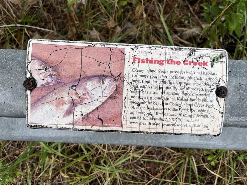
Erected by NYC Parks.
Topics and series. This historical marker is listed in these topic lists: Animals • Environment • Parks & Recreational Areas • Waterways & Vessels. In addition, it is included in the NYC Parks series list.
Location. 40° 34.823′ N, 73° 59.838′ W. Marker has been reported damaged. Marker is in Brooklyn, New York, in Kings County. It is on Coney Island. It can be reached from Bayview Avenue north of Neptune Avenue, on the right when traveling north. Touch for map. Marker is in this post office area: Brooklyn NY 11224, United States of America.
this page online

Regionally, this marker is in New York City and on Long Island. It is also in the American Northeast, in the Mid-Atlantic, and on the Eastern Seaboard. Globally, it is in the North Atlantic Region, North America, the Western Hemisphere, the Western World, and the Anglosphere. Historically, it finds itself in what was once New Netherland and also one of the original Thirteen Colonies.
Other nearby markers. At least 8 other markers are within walking distance of this location: Egrets and Swans (a few steps from this marker); Gene Ritter Way (within shouting distance of this marker); Spartina Salt Marsh (within shouting distance of this marker); Shipwrecks (within shouting distance of this marker); Coney Island Creek (within shouting distance of this marker); Yellow Submarine (within shouting distance of this marker); a different marker also named Fishing the Creek (approx. 0.2 miles away); Sand Dunes (approx. ¼ mile away). Touch for a list and map of all markers in Brooklyn.
Additional commentary.
1. About the marker
This sign serves as a historical marker because it interprets how the history of
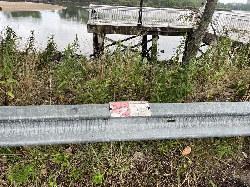
— Submitted September 2, 2024, by Devry Becker Jones of Washington, District of Columbia.
Photographed by Devry Becker Jones (CC0), September 1, 2024
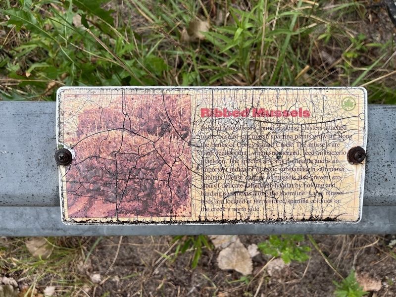
3. Nearby signage about Ribbed Mussels
Ribbed Mussels are found in dense clusters attached to the base of salt marsh spartina plants growing along the banks of Coney Island Creek. The mussels are filter freeder that, when submerged, feed on bacterio-plankton. The species absorbs pollutants and is an important indicator of toxic substances in saltmarsh habitats. Dense clumps of mussles also prevent erosion of delicate saltmarsh habitat by holding and binding sediments along the shoreline. Large mussel beds are located at the restored spartina colonies on the creek's north side.
Credits. This page was last revised on April 26, 2025. It was originally submitted on September 2, 2024, by Devry Becker Jones of Washington, District of Columbia. This page has been viewed 135 times since then and 24 times this year. Photos: 1, 2, 3. submitted on September 2, 2024, by Devry Becker Jones of Washington, District of Columbia.
