Fenner in Canastota in Madison County, New York — The American Northeast (Mid-Atlantic)
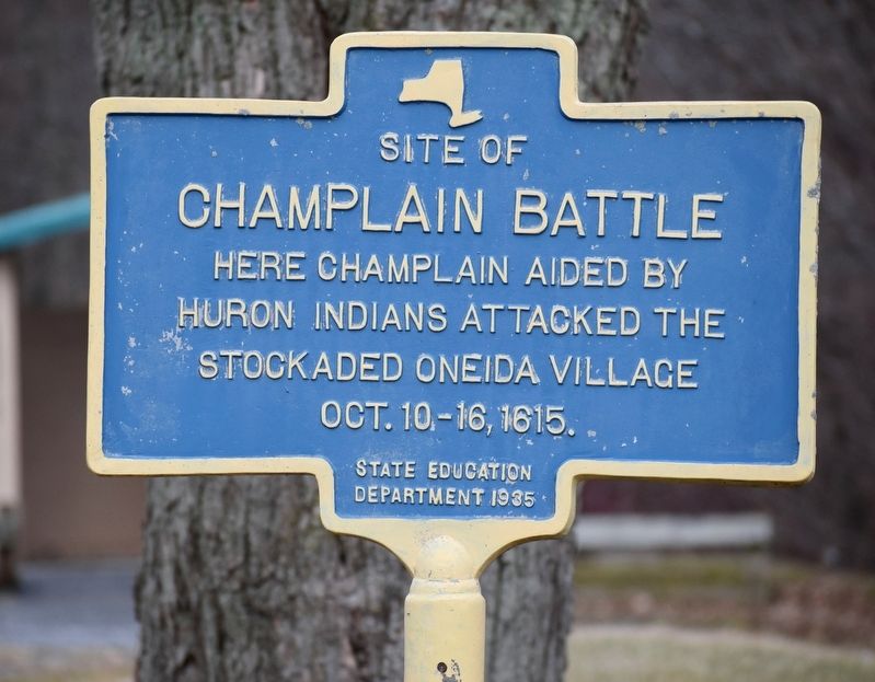
Site of Champlain Battle
Photographed by Mollie, January 11, 2020
1. Champlain Battle Marker
Erected 1935 by State Education Department.
Topics. This historical marker is listed in these topic lists: Indigenous Peoples and Communities • War, French and Indian • Wars, US Indian. A significant historical date for this entry is October 10, 1615.
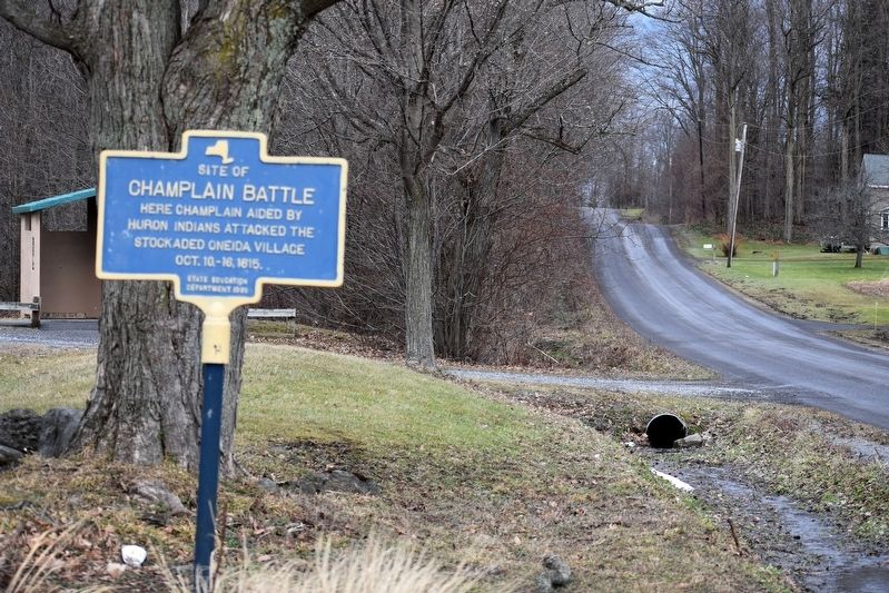
Location. 43° 0.162′ N, 75° 44.502′ W. Marker is in Canastota, New York, in Madison County. It is in Fenner. It is on Nichols Pond Road 0.4 miles north of West Mile Strip Road, on the left when traveling north. Marker is located at entrance to Nichols Pond County Park. Touch for map. Marker is at or near this postal address: 3877 W Mile Strip Rd, Canastota NY 13032, United States of America. Touch for directions.

Regionally, this marker is in Upstate New York, specifically in Central New York, and in the Syracuse Metropolitan Area. It is also in the American Northeast and in the Mid-Atlantic. Globally, it is in North America, the Western Hemisphere, the Western World, and the Anglosphere. Historically, it finds itself in what was once the Haudenosaunee (Iroquois) Confederacy,
this page online
Other nearby markers. At least 8 other markers are within 4 miles of this marker, measured as the crow flies: Nichols Pond Park (within shouting distance of this marker); Oneida Indian Village Wall (about 700 feet away, measured in a direct line); Grain Pits (approx. 0.2 miles away); Oneida Stone of 1615 (approx. 0.2 miles away); Town of Lincoln Veterans Memorial (approx. 2.7 miles away); The Abolition Road (approx. 2.7 miles away); Kriemhild Herd (approx. 3.1 miles away); Myths of The Underground Railroad (approx. 3.6 miles away). Touch for a list and map of all markers in Canastota.
Photographed by Mollie, January 11, 2020
2. Champlain Battle Marker
Photographed by Mollie, January 11, 2020
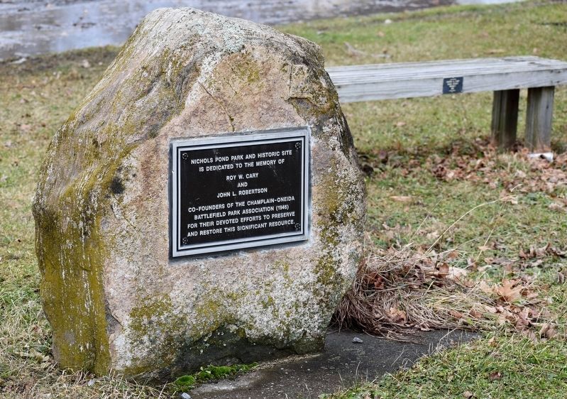
3. Stone Below Champlain Battle Marker
Nichols Pond Park and Historic Site is dedicated to the memory of Roy W. Cary and John L. Robertson, co-founders of the Champlain-Oneida Battlefield Park Association (1946), for their devoted efforts to preserve and restore this significant resource.
Photographed by Mollie, January 11, 2020
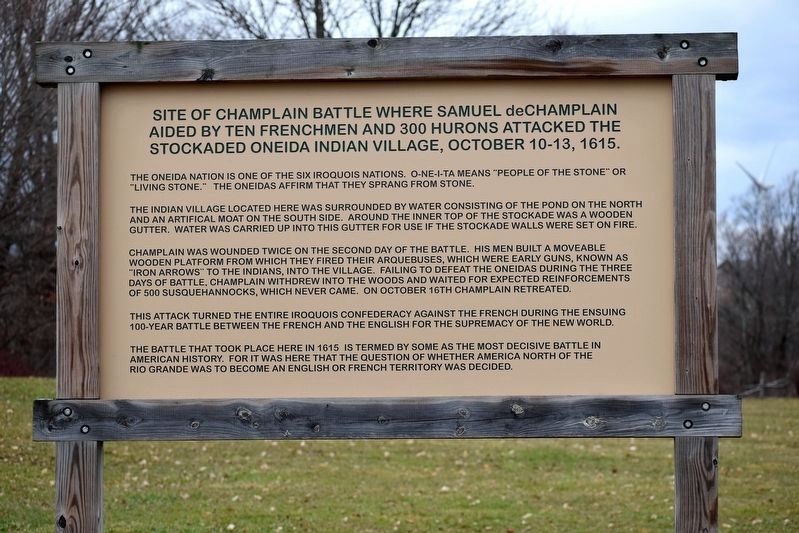
4. Adjacent Champlain Battle Sign
The Oneida Nation is one of the six Iroquois Nations. O-NE-I-TA means "People of the Stone" or "Living Stone." The Oneidas affirm that they sprang from stone.
The Indian village located here was surrounded by water consisting of the pond on the north and an artificial moat on the south side. Around the inner top of the stockade was a wooden gutter. Water was carried up into this gutter for use if the stockade walls were set on fire.
Champlain was wounded twice on the second day of the battle. His men built a moveable wooden platform from which they fired their arquebuses, which were early guns, known as "iron arrows" to the Indians, into the village. Failing to defeat the Oneidas during the three days of battle, Champlain withdrew into the woods and waited for expected reinforcements of 500 Susquehannocks, which never came. On October 16th, Champlain retreated.
This attack turned the entire Iroquois Confederacy against the French during the ensuing 100-year battle between the French and the English for the supremacy of the New World.
The battle that took place here in 1615 is termed by some as the most decisive battle in American history. For it was here that the question of whether America north of the Rio Grande was to become an English or French territory was decided.
Credits. This page was last revised on September 3, 2024. It was originally submitted on January 11, 2020, by Mollie of Syracuse, New York. This page has been viewed 2,796 times since then and 311 times this year. Last updated on September 2, 2024, by Susan A. Dalaba of Cortland, New York. Photos: 1, 2, 3, 4. submitted on January 11, 2020, by Mollie of Syracuse, New York. • Devry Becker Jones was the editor who published this page.
