Windsor Farms in Richmond, Virginia — The American South (Mid-Atlantic)
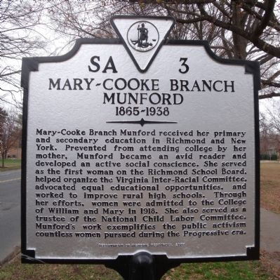
Mary-Cooke Branch Munford
1865-1938
Erected 2009 by Department of Historic Resources. (Marker Number SA-3.)
Topics and series. This historical marker is listed in these topic lists: Civil Rights • Education • Women. In addition, it is included in the Virginia Department of Historic Resources (DHR) series list. A significant historical year for this entry is 1918.
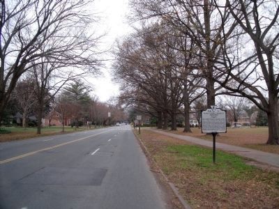
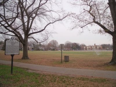
Location. 37° 33.715′ N, 77° 30.046′ W. Marker is in Richmond, Virginia. It is in Windsor Farms. Marker is on Cary Street Road, 0.1 miles west of Commonwealth Avenue, on the right when traveling west. Touch for map. Marker is in this post office area: Richmond VA 23221, United States of America. Touch for directions.
Other nearby markers. At least 8 other markers are within one mile of this marker, measured as the crow flies. Windsor (approx. ¼ mile away); Virginia House (approx. 0.4 miles away); Intermediate Line of Confederate Defenses (approx. 0.6 miles away); Ampthill (approx. ¾ mile away); Wilton (approx. 0.9 miles away); English Village (approx. one mile away); a different marker also named Wilton (approx. one mile away); The Westwood Community (approx. 1.1 miles away). Touch for a list and map of all markers in Richmond.
Also see . . .
1. Mary-Cooke Branch Munford (1865–1938). Encyclopedia Virginia (Submitted on December 18, 2009.)
2. Mary-Cooke Branch Munford. Wikipedia (Submitted on December 27, 2019, by Devry Becker Jones of Washington, District of Columbia.)
Credits. This page was last revised on February 1, 2023. It was originally submitted on December 18, 2009, by Bernard Fisher of Richmond, Virginia. This page has been viewed 922 times since then and 17 times this year. Photos: 1, 2, 3. submitted on December 18, 2009, by Bernard Fisher of Richmond, Virginia.


