Barton Flats near Angelus Oaks in San Bernardino County, California — The American West (Pacific Coastal)
Ranching in the Mountain Meadows
Retreat from the Desert Heat and the City Crowds
| — | Barton Flats Visitor Center | — |
Photographed by Craig Baker, September 8, 2024
1. Ranching in the Mountain Meadows Marker
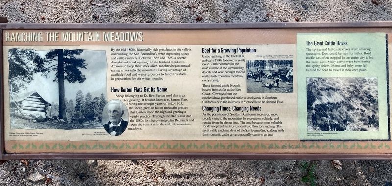
Ranching in the Mountain Meadows
By the mid-1800s, historically rich grasslands in the valleys surrounding the San Bernardino's were supporting sheep and cattle ranchers. Between 1862 and 1865, a severe drought had dried up many of the lowland meadows. Anxious to keep their stock alive, ranchers began annual spring drives into the mountains, taking advantage of available food and water resources to fatten livestock in preparation for the winter months.
How Barton Flats Got Its Name
Sheep belonging to Dr. Ben Barton used this area for grazing. It became known as Barton Flats. During the drought years of 1862-1865, the sheep grew so fat on mountain grasses that Barton made the highland grazing a yearly practice. Through the 1870s and into the 1880s his sheep wintered in Redlands and spent the summers in these fertile mountain meadows.
Beef for a Growing Population
Cattle ranching in the late 1800s and early 1900s followed a yearly cycle. Cattle wintered in the mild climate of the surrounding deserts and were brought to feed on the lush mountain meadows every spring.
this page online
These fattened cattle brought buyers from as far as the East Coast. Cowboys from the ranches drove purchased cattle to stockyards in Southern California or to the railroads in Victorville to be shipped East.
Changing Times, Changing Needs
As the population of Southern California increased, more people came to the mountains for recreation, solitude, and respite from the desert heat. The land became more valuable for development and recreational use than for ranching. The great cattle ranching days of the San Bernardino's, along with their romantic cattle drives, gradually came to an end.
The Great Cattle Drives
The spring and fall cattle drives were amazing spectacles. Dust could be seen for miles. Road traffic was often stopped for an entire day to let the cattle pass. Many calves were born during the spring drives. Mama and baby were left behind the herd to travel at their own pace.
Retreat from the Desert Heat and the City Crowds
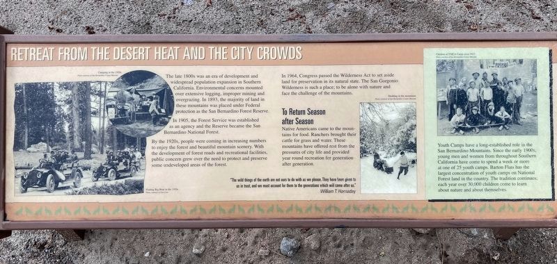
The late 1800s was an era of development and widespread population expansion in Southern California. Environmental concerns mounted over extensive
Photographed by Craig Baker, September 8, 2024
2. Retreat from the Desert Heat Marker
In 1905, the Forest Service was established as an agency, and the Reserve became the San Berardino National Forest.
By the 1920s, people were coming in increasing numbers to enjoy the forest and beautiful mountain scenery. With the development of forest roads and recreational facilities, public concern grew over the need to protect and preserve some undeveloped areas of the forest. In 1964, Congress passed the Wilderness Act to set aside land for preservation in its natural state. The San Gorgonio Wilderness is such a place; to be alone with nature and face the challenge of the mountains.
To Return Season after Season
Native Americans came to the mountains for food. Ranchers brought their cattle for grass and water. These mountains have offered rest from the pressures of city life and provided year round recreation for generation after generation.
Youth Camps have a long-established role in the San Bernardino Mountains. Since
Photographed by Craig Baker, September 8, 2024
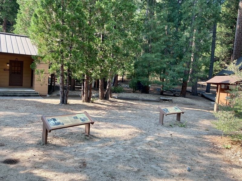
3. Ranching/Retreat Markers
Topics. This historical marker is listed in these topic lists: Agriculture • Environment • Industry & Commerce • Parks & Recreational Areas. A significant historical year for this entry is 1862.
Location. 34° 10.208′ N, 116° 53.256′ W. Marker is near Angelus Oaks, California, in San Bernardino County. It is in Barton Flats. It is on California 38 7 miles east of Angelus Oaks, on the right when traveling east. Located at the Barton Flats Visitor Center. Touch for map. Marker is at or near this postal address: 42045 CA-38, Angelus Oaks CA 92305, United States of America. Touch for directions.

Regionally, this marker is in Greater Los Angeles, in the Peninsular Ranges, and specifically in the Transverse Ranges. It is also in the American Southwest. Globally, it is in North America,
Photographed by Craig Baker, September 8, 2024
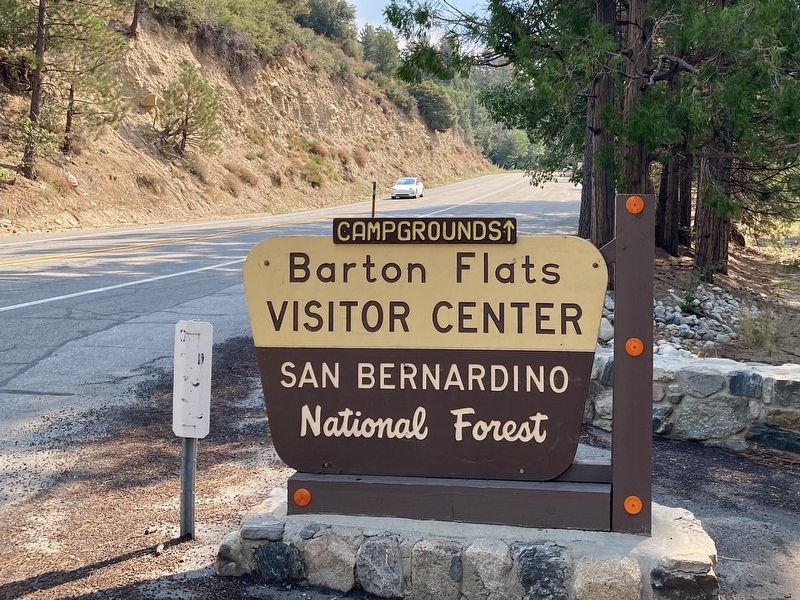
4. Barton Flats Visitor Center
Other nearby markers. At least 8 other markers are within 7 miles of this marker, measured as the crow flies: Jenks Lake (approx. 0.4 miles away); Whispering Pines Trail (approx. 1.4 miles away); Grizzly Come Home Campaign (approx. 4.8 miles away); Champion Lodgepole Pine (approx. 5.9 miles away); Big Bear Valley (approx. 6.4 miles away); Big Bear Solar Observatory (approx. 6.6 miles away); Woodland Club Caddy Shack (approx. 7 miles away); Holcomb Valley (approx. 7 miles away).
Photographed by Craig Baker, September 8, 2024
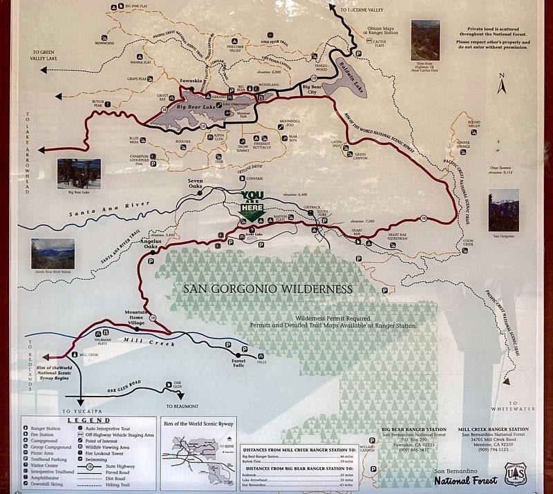
5. Area Map
“You Are Here” is near the center of the map.
Photographed by Craig Baker, May 4, 2022
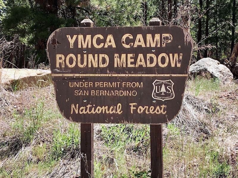
6. YMCA Camp Round Meadow
One of many youth camps in this area.
(This camp attended by me in the 1960s. -CB)
(This camp attended by me in the 1960s. -CB)
Credits. This page was last revised on September 9, 2024. It was originally submitted on September 8, 2024, by Craig Baker of Sylmar, California. This page has been viewed 653 times since then and 57 times this year. Photos: 1, 2, 3, 4, 5. submitted on September 8, 2024, by Craig Baker of Sylmar, California. 6. submitted on April 2, 2023, by Craig Baker of Sylmar, California.
