Nags Head in Dare County, North Carolina — The American South (South Atlantic)
Carolista Baum
1940 ~ 1991
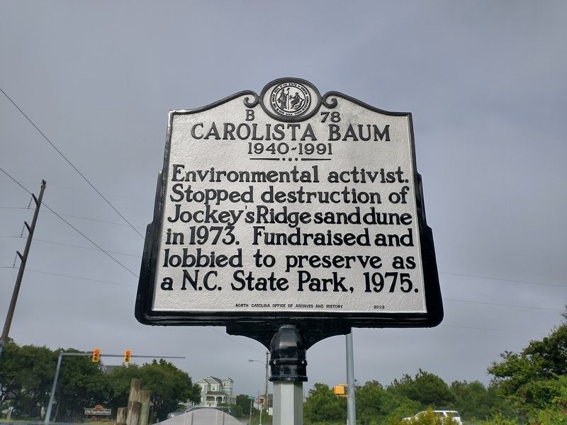
Photographed by Tom Bosse, September 7, 2024
1. Carolista Baum Marker
Erected 2023 by North Carolina Office of Archives and History. (Marker Number B 78.)
Topics. This historical marker is listed in these topic lists: Environment • Parks & Recreational Areas • Women. A significant historical year for this entry is 1973.
Location. 35° 58.01′ N, 75° 37.932′ W. Marker is in Nags Head, North Carolina, in Dare County. It is at the intersection of South Croatan Highway (U.S. 158) and Carolista Drive, on the right when traveling south on South Croatan Highway. Touch for map. Marker is at or near this postal address: 300 W Carolista Dr, Nags Head NC 27959, United States of America. Touch for directions.

Regionally, this marker is in North Carolina’s Coastal Plain and on the Outer Banks. It is also in the American South, specifically in the Upper South, in the Tidewater, and on the Eastern Seaboard. Globally, it is in the North Atlantic Region, North America, the Western Hemisphere, the Western World, and the Anglosphere. Historically,
this page online
Other nearby markers. At least 8 other markers are within 3 miles of this marker, measured as the crow flies: Jockey's Ridge (approx. 0.2 miles away); A Natural Wind Laboratory (approx. 0.2 miles away); Jockey’s Ridge State Park (approx. ¼ mile away); About the Park (approx. 0.3 miles away); Wreck of the U.S.S. Huron (approx. 0.6 miles away); Francis & Gertrude Rogallo (approx. 0.7 miles away); The Mystery Wreck (approx. 2½ miles away); Veterans Memorial (approx. 2½ miles away). Touch for a list and map of all markers in Nags Head.
Another marker is no longer nearby. The Wreck of the Huron (was approx. 0.6 miles away but has been confirmed missing).
Also see . . . North Carolina Woman Who Saved Jockey's Ridge To Be Featured on Highway Historical Marker. (Submitted on September 10, 2024, by Tom Bosse of Jefferson City, Tennessee.)
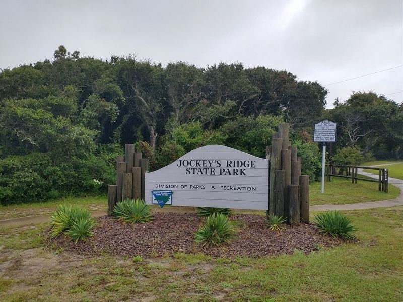
Photographed by Tom Bosse, September 7, 2024
2. Carolista Baum Marker
Credits. This page was last revised on September 11, 2024. It was originally submitted on September 10, 2024, by Tom Bosse of Jefferson City, Tennessee. This page has been viewed 222 times since then and 16 times this year. Photos: 1, 2. submitted on September 10, 2024, by Tom Bosse of Jefferson City, Tennessee. • Bernard Fisher was the editor who published this page.
