Lexington, Virginia — The American South (Mid-Atlantic)
This is John Jordan's point. After all, he started it.
Photographed by Bradley Owen, August 12, 2024
1. This is John Jordan's point. After all, he started it. Marker
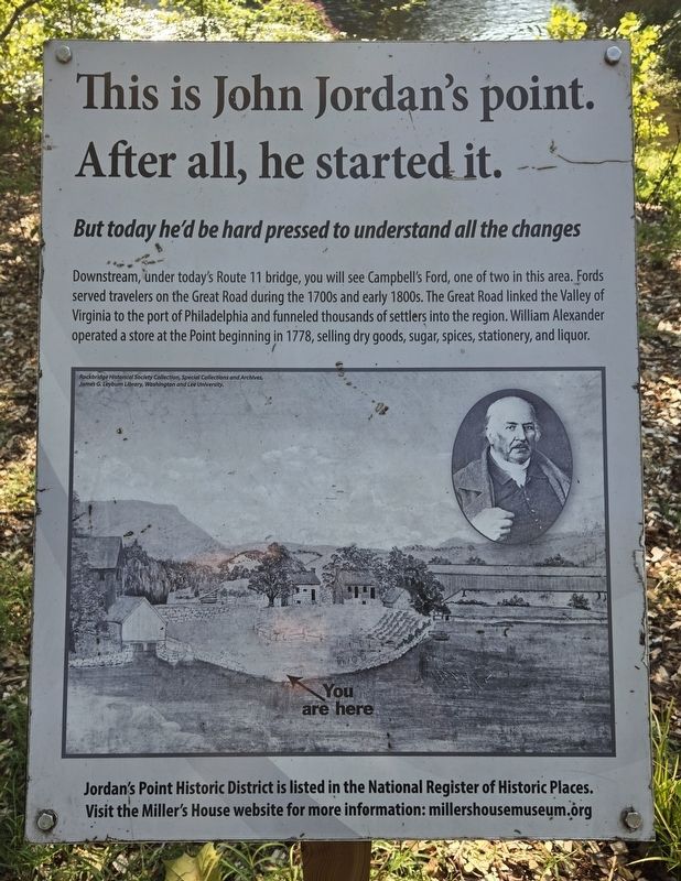
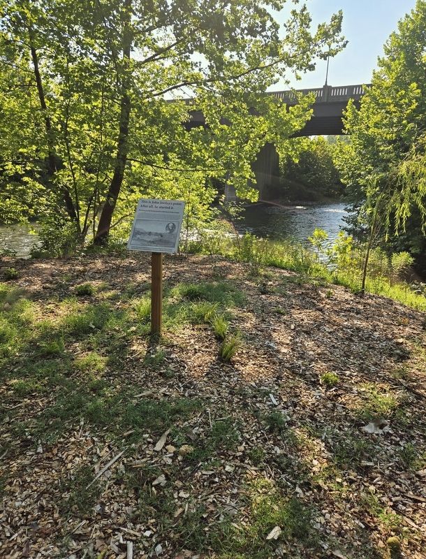
Downstream, under today's Route 11 bridge, you will see Campbell's Ford, one of two in this area. Fords served travelers on the Great Road during the 1700s and early 1800s. The Great Road linked the Valley of Virginia to the port of Philadelphia and funneled thousands of settlers into the region. William Alexander operated a store at the Point beginning in 1778, selling dry goods, sugar, spices, stationery, and liquor.
(Caption):
Rockbridge Historical Society Collection, Special Collections and Archives, James G. Leyburn Library, Washington and Lee University.
Visit the Miller's House website for more information: millershousemuseum.org
Erected 2017 by Miller's House Museum.
Topics. This historical marker is listed in these topic lists: Industry & Commerce • Roads & Vehicles • Settlements & Settlers • Waterways & Vessels. A significant historical year for this entry is 1778.
Location. 37° 47.537′ N, 79° 25.672′ W. Marker is in Lexington, Virginia.
this page online

Regionally, this marker is in Virginia’s Shenandoah Valley. It is also in the American South and specifically in the Upper South. Globally, it is in North America, the Western Hemisphere, the Western World, and the Anglosphere. Historically, it finds itself in what was once the territory of the Mississippian Culture, one of the original Thirteen Colonies, one of the Confederate States of America, and the Antebellum South.
Other nearby markers. At least 8 other markers are within walking distance of this marker: Is a Packet Boat a Passenger Boat? (here, next to this marker); Batteaux, Freight Boats, Packet Boats, Wagons, Horses & Mules (within shouting distance of this marker); Fish Really Need a Ladder Sometimes! (within shouting distance of this marker); What is a Gauge Dock? (within shouting distance of this marker); Gold Star Families Memorial Monument
Photographed by Bradley Owen, August 12, 2024
2. This is John Jordan's point. After all, he started it. Marker
Regarding This is John Jordan's point. After all, he started it.. The website listed on this marker is incorrect. The website should be:
millershousemuseum.com
Credits. This page was last revised on September 29, 2024. It was originally submitted on September 24, 2024, by Bradley Owen of Morgantown, West Virginia. This page has been viewed 214 times since then and 26 times this year. Photos: 1, 2. submitted on September 24, 2024, by Bradley Owen of Morgantown, West Virginia.
