
St. Charles in Kane County, Illinois — The American Midwest (Great Lakes)
Ēkwabet
(Watching Over)
| — | Named by the Pottawatomi Nation June 29, 1989 | — |

Photographed by Sean P. Flynn, October 1, 2024
1. Ēkwabet Marker
As I gaze across the waters of the shimmering Fox River, I see the smoke of thousands of teepees where I once saw only gentle prairies and lush forests abundant with game.
Many moons ago my people were among the first voices to be heard in this land. We came to live in peace with nature. We hunted and fished. We married, bore children and died at our appointed time. The bones of my people mingle here with the earth. We loved this Valley.
It was with great sadness that we had to leave our home. We were few, and the settlers were many. The spirits of my ancestors have never left this great Valley, and occasionally, you may glimpse our shadows or feel our presence as we tread silently along the shores of our beloved Fox River.
Our final prayer as we left our land was that you would love this Valley as much as we loved it. We were one with the earth, sky and water. We were the Neshnabek, the "People" of the Valley.
11/2/88 Jim Dowd
Erected 1989.
Topics. This historical marker is listed in these topic lists: Environment • Indigenous Peoples and Communities •
this page online
Location. 41° 54.946′ N, 88° 18.857′ W. Marker is in St. Charles, Illinois, in Kane County. It is on Riverside Avenue north of State Avenue. The marker is affixed to the south side of the base of the Ēkwabet statue, along the east bank of the Fox River. It is a roughly 250-yard walk along the river from the St. Charles City Hall. Touch for map. Marker is in this post office area: Saint Charles IL 60174, United States of America. Touch for directions.

Regionally, this marker is in Greater Chicago. It is also in the American Midwest and on the Great Lakes. Globally, it is in North America, the Western Hemisphere, the Western World, and the Anglosphere. Historically, it finds itself in what was once the territory of the Mississippian Culture and also the Northwest Territory.
Other nearby markers. At least 8 other markers are within walking distance of this marker: The Pottawatomi (here, next to this marker); Historic St. Charles (a few steps from this marker); Capt. Chuck Cooper (a few steps from this marker); Veterans Memorial (within shouting distance
Photographed by Sean P. Flynn, October 1, 2024
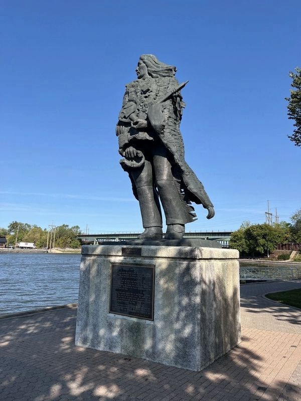
2. Ēkwabet statue
The Native American depicted on the statue stands overlooking the Fox River. The marker describing the statue is visible on the front of this photo. Not visible facing the river is a marker about the history of the Pottawatomi tribe; a marker about the statue's benefactors is on the rear side (facing north).
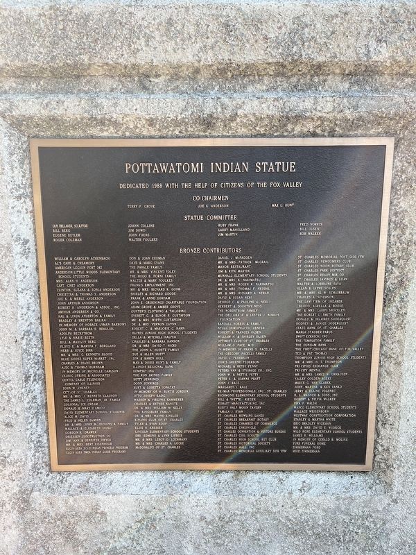
More about this marker. Another plaque on the statue's river-facing (east) side offers a history of the Pottawatomi people. The north-facing side includes benefactors who enabled the dedication of the statue in 1988. The statue is a replacement of a 1916 statue honoring the Pottawatomi that stood near the entrance of nearby Pottawatomie Park; that statue was destroyed by vandals around 1960.
The statue was dedicated in May 1988. A year later, the Pottawatomi nation selected the Ēkwabet name and held a naming ceremony.
Also see . . .
1. About the “Ēkwabet” Project. (Submitted on October 5, 2024, by Sean P. Flynn of Oak Park, Illinois.)
2. Historic Native Americans in the Fox River Valley. From the St. Charles History Museum (Submitted on October 5, 2024, by Sean P. Flynn of Oak Park, Illinois.)
3. Potawatomi Nation official site.
Photographed by Sean P. Flynn, October 1, 2024
3. The Ēkwabet statue dedication plaque
Photographed by Sean P. Flynn, October 1, 2024
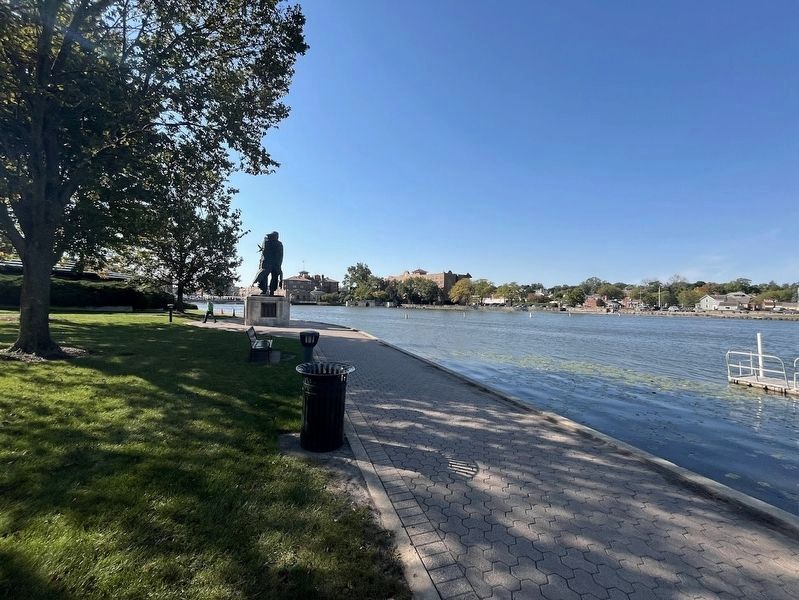
4. Ēkwabet statue
The statue alongside the Fox River, with downtown St. Charles in the distance.
Credits. This page was last revised on October 9, 2024. It was originally submitted on October 5, 2024, by Sean P. Flynn of Oak Park, Illinois. This page has been viewed 346 times since then and 56 times this year. Photos: 1, 2, 3, 4. submitted on October 5, 2024, by Sean P. Flynn of Oak Park, Illinois.
