Greenville in Greenville County, South Carolina — The American South (South Atlantic)
The Falls Forgotten

Photographed by Mark Parker, October 25, 2024
1. The Falls Forgotten Marker
Beginning in 1967, the Carolina Foothills Garden Club spearheaded efforts to reclaim the long-neglected site of Greenville's birthplace. Furman University deeded six acres to the City to establish Reedy River Falls Historic Park and for the next two decades, the Garden Club and the City worked together to protect, expand and develop the area. In the late 1980s, the Garden Club and the City adopted a master plan for 26. acres around the falls.
The Garden Club and the City, working with a team of local and international designers, including landscape architects Tom Keith, Andrea Mains and landscape designer Robert Miller, developed a detailed vision and plan for the park - one that could only be fully realized with the removal of the highway bridge.
(captions)
The Camperdown Bridge obscured views of the falls.
The Camperdown Bridge, circa 1970
Erected by City
this page online
Topics. This historical marker is listed in these topic lists: Bridges & Viaducts • Parks & Recreational Areas • Roads & Vehicles • Waterways & Vessels. A significant historical year for this entry is 1967.
Location. 34° 50.687′ N, 82° 24.041′ W. Marker is in Greenville, South Carolina, in Greenville County. It can be reached from the intersection of Falls Street and East Camperdown Way, on the right when traveling south. Located at the east end of Liberty Bridge in Falls Park on the Reedy. Touch for map. Marker is in this post office area: Greenville SC 29601, United States of America. Touch for directions.

Regionally, this marker is in Upstate. It is also in the American South, specifically in the Deep South, in Appalachia, and specifically in Southern Appalachia. Globally, it is in North America, the Western Hemisphere, the Western World, and the Anglosphere. Historically, it finds itself in what was once the original Cherokee Nation, the territory of the Mississippian Culture, one of the original Thirteen Colonies, one of the Confederate States of America, and the Antebellum South.
Other nearby markers. At
Photographed by Mark Parker, October 25, 2024
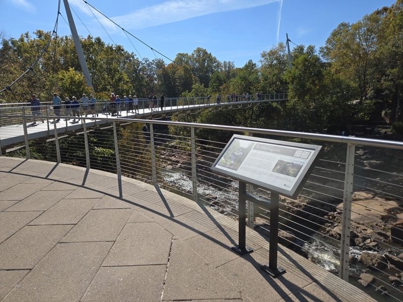
2. The Falls Forgotten Marker looking towards Liberty Bridge
Other markers no longer nearby. The Falls Forgotten 1960 - 2002 (was here, next to this marker but has been replaced with another marker now near it); The Falls and Industry 1800’s – 1960 (was a few steps from this marker but has been replaced with another marker now near it); Falls Reclaimed and the Liberty Bridge 2004 (was a few steps from this marker but has been replaced with another marker now near it).
Related marker. Click here for another marker that is related to this marker. Old Marker At This Location titled "The Falls Forgotten 1960-2002".
Photographed by Mark Parker, October 25, 2024
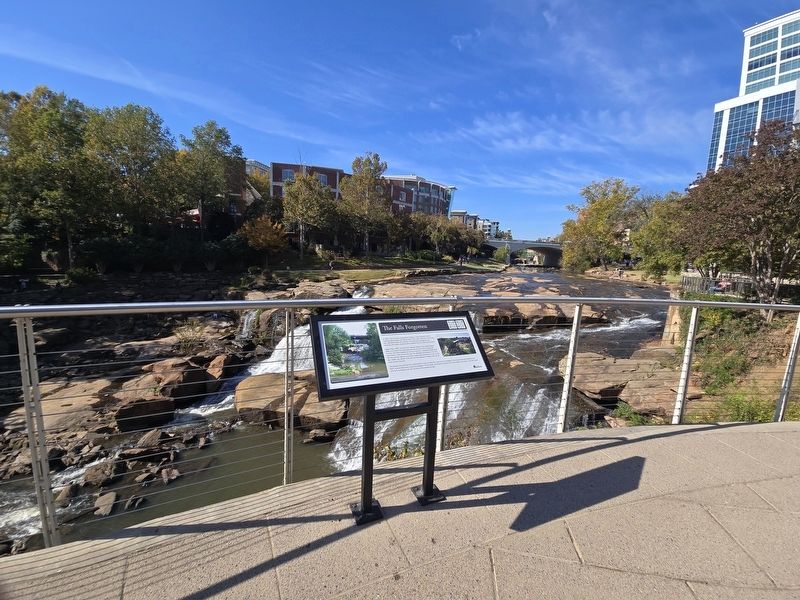
3. The Falls Forgotten Marker overlooking the falls
Photographed by Mark Parker, October 25, 2024
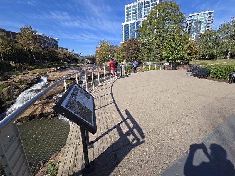
4. The Falls Forgotten Marker in the center of 3 markers at the overlook
The Falls Reclaimed at the foreground and the Falls and Industry in the distance
Credits. This page was last revised on October 29, 2024. It was originally submitted on October 27, 2024, by Mark Parker of Hickory, North Carolina. This page has been viewed 507 times since then and 105 times this year. Photos: 1, 2, 3, 4. submitted on October 27, 2024, by Mark Parker of Hickory, North Carolina. • Bernard Fisher was the editor who published this page.
