Excelsior in Hennepin County, Minnesota — The American Midwest (Upper Plains)
The History of Lake Minnetonka
| — | Excelsior | — |
Photographed by McGhiever, April 14, 2023
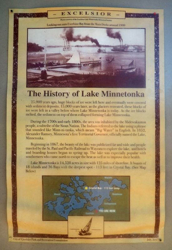
1. The History of Lake Minnetonka Marker
25,000 years ago, huge blocks of ice were left here and eventually were covered with sediment deposits. 15,000 years later, as the glaciers retreated, these blocks of ice were left in a valley below where Lake Minnetonka is today. As the ice blocks melted, the sediment on top of them collapsed forming Lake Minnetonka.
During the 1700s and early 1800s, the area was inhabited by Midewakanton people, a subtribe of the Sioux Nation. The Indians referred to the lake using a phrase that sounded like Minn-ni-tanka, which meant "Big Water" in English. In 1852, Alexander Ramsey, Minnesota's first Territorial Governor, officially named the Lake, Minnetonka.
Beginning in 1867, the beauty of the lake was publicized far and wide and people traveled by the St. Paul and Pacific Railroad to Wayzata to explore the lake, and hotels and boarding houses began to spring up. The lake was especially popular with southerners who came north to escape the heat as well as to improve their health.
Lake Minnetonka is 14,528 acres in size with 125 miles of shoreline. It boasts
this page online
Erected 2017 by City of Excelsior Park and Recreation Commission.
Topics. This historical marker is listed in these topic lists: Entertainment • Environment • Indigenous Peoples and Communities • Waterways & Vessels.
Location. 44° 54.274′ N, 93° 33.909′ W. Marker is in Excelsior, Minnesota, in Hennepin County. It can be reached from the intersection of Water Street and Lake Street. Touch for map. Marker is at or near this postal address: 2 Water Street, Excelsior MN 55331, United States of America. Touch for directions.

Regionally, this marker is in the Twin Cities Metropolitan Area. It is also in the American Midwest, in the Corn Belt, and in the Great River Road Region. Globally, it is in North America, the Western Hemisphere, the Western World, and the Anglosphere. Historically, it finds itself in what was once Rupert’s Land, the territory of the Mississippian Culture, and the Louisiana Purchase.
Other nearby markers. At least 8 other markers are within
Photographed by McGhiever, April 14, 2023
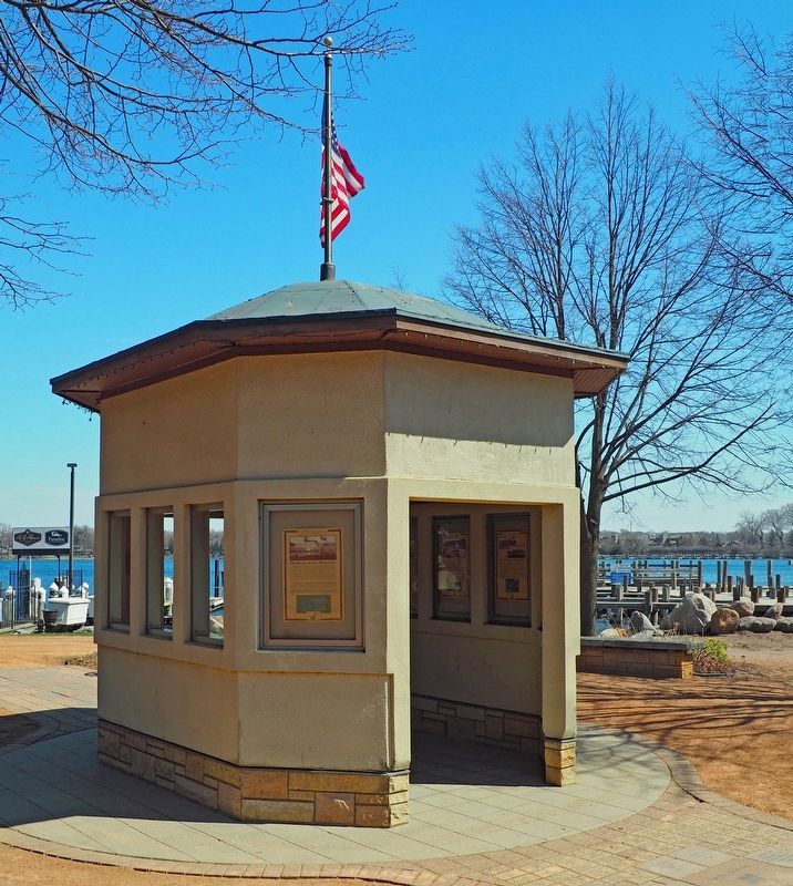
2. The History of Lake Minnetonka Marker at closest corner of kiosk
Credits. This page was last revised on November 12, 2024. It was originally submitted on November 12, 2024, by McGhiever of Minneapolis, Minnesota. This page has been viewed 231 times since then and 21 times this year. Photos: 1, 2. submitted on November 12, 2024, by McGhiever of Minneapolis, Minnesota.
