Peterborough in Peterborough County, Ontario — Central Canada (North America)
Pioneer Burial Ground
1800s

Photographed by Cosmos Mariner, June 1, 2024
1. Pioneer Burial Ground Marker
Peterborough's first burial ground was laid out in 1825 on the land bounded by Aylmer, George, Murray and McDonnel Streets. At the time, this was the northern edge of the town. It was multidenominational with areas for Roman Catholics, Anglicans, and the general population.
By the 1850s, the cemetery was overcrowded with burials to the point that the site, now in the middle of town, was regarded as a sanitation and health hazard. New cemeteries, Little Lake and Wesleyan Methodist, had opened on the perimeter of the growing town and in May 1854 further burials were prohibited.
Arrangements were made to allow townspeople to remove and reinter their relatives in the new cemeteries. However, with no register to identify graves and the high cost of reburial, many were simply left behind. With hundreds of Peterborough's earliest settlers still interred here, Confederation Square is considered a cemetery under Ontario law.
Dilapidated and forlorn, the site lay vacant for many years and in spite of heavy fines, clandestine burials continued to occur in the consecrated grounds. It would remain in this state until 1867 when the land was leased for the West Riding Peterborough Agricultural Society's Fair.
Topics. This historical marker is listed in these topic lists: Cemeteries & Burial Sites • Indigenous Peoples and Communities • Parks & Recreational Areas • Settlements & Settlers. A significant historical year for this entry is 1825.
Location. 44° 18.568′ N, 78° 19.228′ W. Marker is in Peterborough, Ontario, in Peterborough County. It is at the intersection of George Street North and McDonnel Street, on the right when traveling south on George Street North. The marker is located beside the sidewalk, near the northeast corner of Confederation Square. Touch for map. Marker is at or near this postal address:
this page online

Regionally, this marker is in the Kawarthas Northumberland Area and in Eastern Ontario. It is also in Central Canada. Globally, it is in North America, the Western Hemisphere, the Western World, and the Anglosphere. Historically, it finds itself in what was once a British colony, the Viceroyalty of New France, the Haudenosaunee (Iroquois) Confederacy, and Rupert’s Land.
Other nearby markers. At least 8 other markers are within walking distance of this marker: Capt. Edward T. Brown (within shouting distance of this marker); The Citizens' War Memorial (within shouting distance of this marker); Agricultural Fair (within shouting distance of this marker); Civic Park (about 90 meters away, measured in a direct line); Military (about 120 meters away); The Peterborough Armoury / Le manège militaire de Peterborough (about 150 meters away); The Robinson Settlement (about 210 meters away); The Brock Street Burial (approx. 0.3 kilometers away). Touch for a list and map of all markers in Peterborough.
Also see . . . Confederation Park.
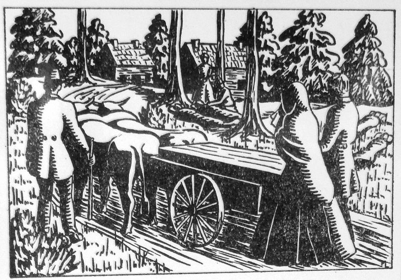
From F.H. Dobbins, Our Old Home Town
2. Marker detail: Burial in Early Peterborough
An early woodcut by Mary Lee illustrates the Spartan nature of burial services in early Peterborough. The coffin was a rough box and the hearse was a two-wheel cart, drawn by oxen.

3. Marker detail: August 1851 Newspaper Editorial
An August 1851 newspaper editorial by Mayor Charles Hudson eloquently outlined the need to close the burial ground for the health of the townspeople.
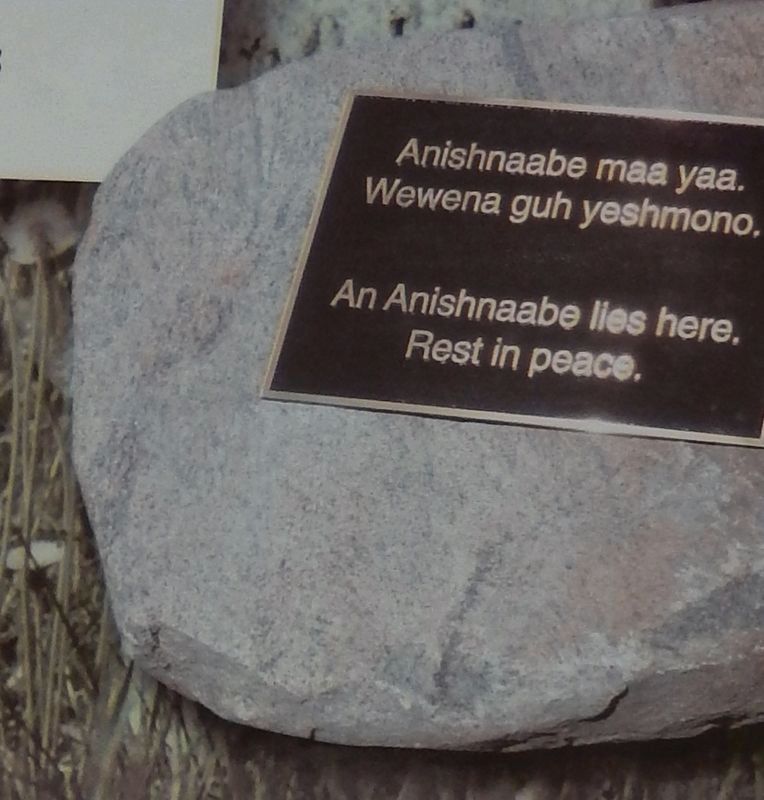
4. Marker detail: First Nation Burials
First Nation burials have also been found in the area of the old burying grounds. This stone commemorates an Anishnaabe burial just a block south of the square. Anishnaabe maa yaa.
Wewena guh yeshmono.
———
An Anishnaabe lies here.
Rest in peace.
Wewena guh yeshmono.
———
An Anishnaabe lies here.
Rest in peace.
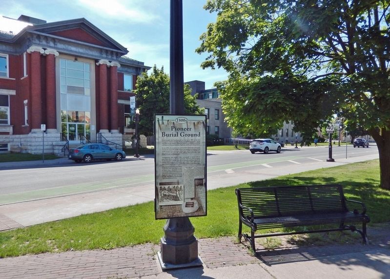
Photographed by Cosmos Mariner, June 1, 2024
5. Pioneer Burial Ground Marker
Looking southeast from the northeast corner of Confederation Square; George Street North is in the background.
Credits. This page was last revised on June 3, 2025. It was originally submitted on November 15, 2024, by Cosmos Mariner of Cape Canaveral, Florida. This page has been viewed 326 times since then and 48 times this year. Photos: 1, 2, 3, 4, 5. submitted on November 16, 2024, by Cosmos Mariner of Cape Canaveral, Florida.
