Maine Township near Underwood in Otter Tail County, Minnesota — The American Midwest (Upper Plains)
The Story of Phelps Mill
October 24, 2024
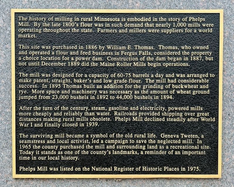
1. The Story of Phelps Mill Marker
This site was purchased in 1886 by William E. Thomas. Thomas, who owned and operated a flour and feed business in Fergus Falls, considered the property a choice location for a power dam. Construction of the dam began in 1887, but not until December 1889 did the Maine Roller Mills begin operations.
The mill was designed for a capacity of 60-75 barrels a day and was arranged to make patent, straight, baker's and low grade flour. The mill had considerable success. In 1895 Thomas built an addition for the grinding of buckwheat and rye. More space and machinery was necessary as the amount of wheat ground jumped from 23,000 bushels in 1892 to 44,000 bushels in 1894.
After the turn of the century, steam, gasoline and electricity, powered mills more cheaply and reliably than water. Railroads provided shipping over great distances making rural mills obsolete. Phelps Mill decline steadily
this page online
The surviving mill became a symbol of the old rural life. Geneva Tweten, a seamstress and local activist, led a campaign to save the neglected mill. In 1965 the county purchased the mill and surrounding land as a recreational site. Today it stands as one of the county's landmarks, a reminder of an important time in our local history.
Phelps Mill was listed on the National Register of Historic Places in 1975.
Topics and series. This historical marker is listed in these topic lists: Agriculture • Parks & Recreational Areas • Waterways & Vessels. In addition, it is included in the National Register of Historic Places (NRHP) series list. A significant historical month for this entry is December 1889.
Location. 46° 22.836′ N, 95° 49.268′ W. Marker is near Underwood, Minnesota, in Otter Tail County. It is in Maine Township. It is on County Highway 45 half a mile west of 288th Street, on the left when traveling north. Touch for map. Marker is at or near this postal address: 29029 Co Hwy 45, Underwood MN 56586, United States of America. Touch for directions.

Regionally, this marker is in the
October 24, 2024
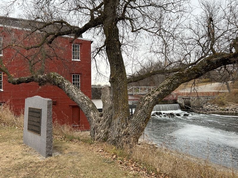
2. The Story of Phelps Mill Marker
Other nearby markers. At least 8 other markers are within 6 miles of this marker, measured as the crow flies: Phelps Mill National Historic District (here, next to this marker); William O. Douglas (a few steps from this marker); Phelps Mill (within shouting distance of this marker); Saving History (within shouting distance of this marker); Water Power (within shouting distance of this marker); Barnhard School (approx. 2.2 miles away); Maine (approx. 2.2 miles away); Friberg Swedish Baptist Church (approx. 5½ miles away). Touch for a list and map of all markers in Underwood.
Also see . . .
1. Step back into the 1880s at the miraculously-preserved Phelps Mills - CBS Minnesota. (Submitted on November 15, 2024.)
2. Minnesota SP Phelps Mill - National Archives NextGen Catalog. (Submitted on November 15, 2024.)

October 24, 2024
3. The Story of Phelps Mill Marker
October 24, 2024
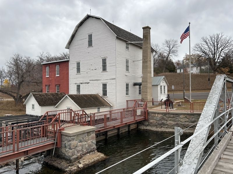
4. Phelps Mill
October 24, 2024
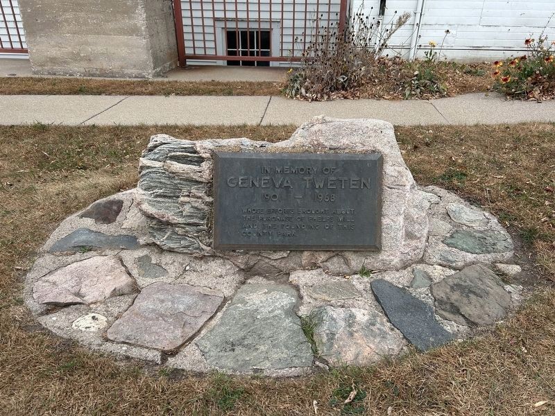
5. Memorial to Geneva Tweten
1901 – 1968
whose efforts brought about the purchase of Phelps Mill and the founding this county park.
Credits. This page was last revised on November 16, 2024. It was originally submitted on November 15, 2024. This page has been viewed 240 times since then and 35 times this year. Photos: 1, 2, 3, 4, 5. submitted on November 15, 2024.
