Near Chapman in Butler County, Alabama — The American South (East South Central)
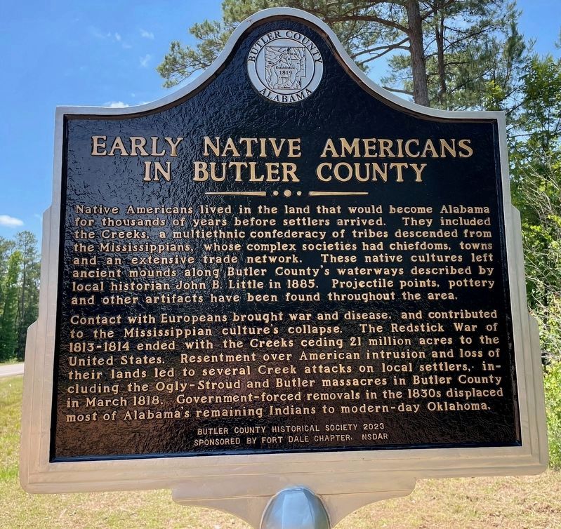
Early Native Americans in Butler County
⎯⎯⎯
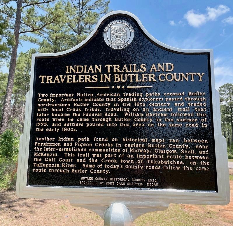
Indian Trails and Travelers in Butler County
Photographed by Mark Hilton, May 16, 2024
1. Early Native Americans Marker
Contact with Europeans brought war and disease, and contributed to the Mississippian culture's collapse. The Redstick War of 1813-1814 ended with the Creeks ceding 21 million acres to the United States. Resentment over American intrusion and loss of their lands led to several Creek attacks on local settlers, including the Ogly-Stroud and Butler massacres in Butler County in March 1818. Government-forced removals in the 1830s displaced most of Alabama's remaining Indians to modern-day Oklahoma.
this page online
Another Indian path found on historical maps ran between Persimmon and Pigeon Creeks in eastern Butler County, near the later-established communities of Midway, Glasgow, Shell, and McKenzie. This trail was part of an important route between the Gulf Coast and the Creek town of Tukabatchee, on the Tallapoosa River. Some of today's county roads follow the same route through Butler County.
Sponsored by Fort Dale Chapter, NSDAR
Erected 2024 by Butler County Historical Society.
Topics and series. This historical marker is listed in these topic lists: Indigenous Peoples and Communities • Roads & Vehicles • Wars, US Indian. In addition, it is included in the Daughters of the American Revolution (DAR) series
Photographed by Mark Hilton, May 16, 2024
2. Indian Trails and Travelers Marker
Location. 31° 42.092′ N, 86° 41.074′ W. Marker is near Chapman, Alabama, in Butler County. It is on Mobile Road (U.S. 31) 1.4 miles south of Solomon Hill Road (County Road 28), on the right when traveling south. Located near Old Highway 31. Touch for map. Marker is in this post office area: Chapman AL 36015, United States of America. Touch for directions.

Regionally, this marker is in the American South, specifically in the Deep South, and in the Black Belt. Globally, it is in North America, a Gulf of Mexico state, the Western Hemisphere, the Western World, and the Anglosphere. Historically, it finds itself in what was once New Spain, the territory of the Mississippian Culture, one of the Confederate States of America, and the Antebellum South.
Other nearby markers. At least 8 other markers are within 10 miles of this marker, measured as the crow flies: Hank Williams’ Boyhood Home / Thigpen’s Log Cabin Popular Dance Hall (approx. 5½ miles away); City of Georgiana / GA~ANA Theatre (approx. 5.6 miles away); Pioneer Electric Cooperative (approx. 8.3 miles away); Butler Chapel A.M.E. Zion Church
Photographed by Mark Hilton, May 16, 2024
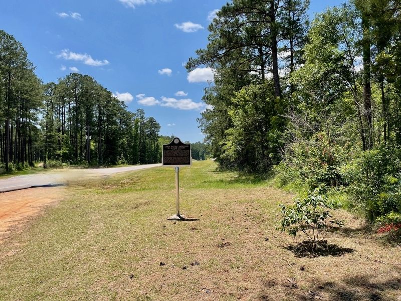
3. View south on Mobile Road (U.S. Highway 31)
More about this marker. This is a replacement marker for a marker that went missing tens of years ago. Previously the marker was located about 1.8 miles north of this location.
Although the marker is dated 2023, the marker was actually erected May 16th, 2024.
Sponsored by Fort Dale Chapter, NSDAR
Photographed by Mark Hilton, May 16, 2024
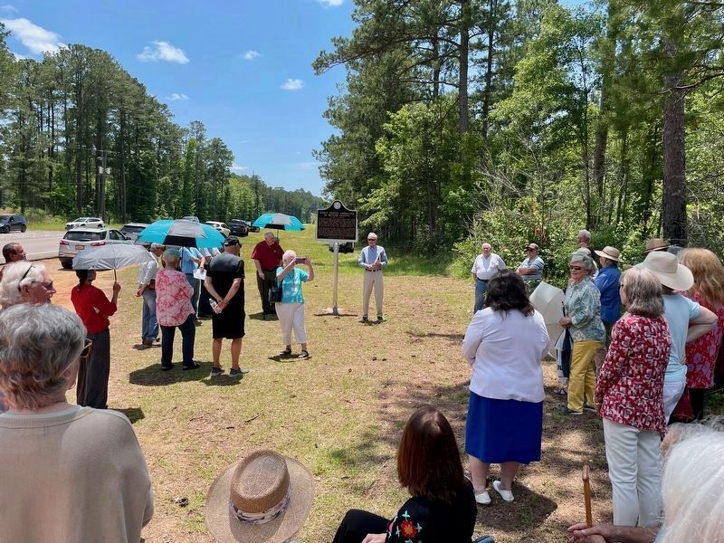
4. Dedication ceremony on May 16th, 2024.
Members from the Butler County Historical Society, Daughters of American Revolution and the Sons of the American Revolution attended the dedication as well a Specialist from the Poarch Creek Tribal Historic Preservation office.
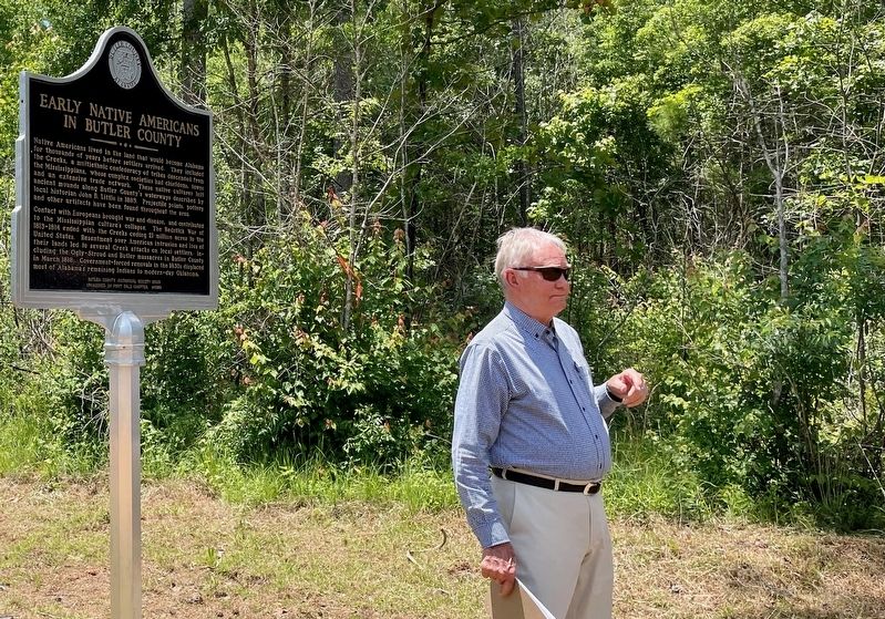
Photographed by Mark Hilton, May 16, 2024
5. Walter Parmer, Parmer Scholar Foundation, emceed the dedication.
Credits. This page was last revised on January 14, 2025. It was originally submitted on May 16, 2024, by Mark Hilton of Montgomery, Alabama. This page has been viewed 2,277 times since then and 313 times this year. Last updated on November 19, 2024, by Carolyn Sanders of Plano, Texas. Photos: 1, 2, 3, 4, 5. submitted on May 16, 2024, by Mark Hilton of Montgomery, Alabama. • Bill Pfingsten was the editor who published this page.
