Pass Lake in Thunder Bay District, Ontario — Central Canada (North America)
Aqua-Plano Indians of the Upper Great Lakes
Photographed by Cosmos Mariner, June 14, 2024
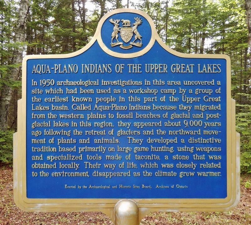
1. Aqua-Plano Indians of the Upper Great Lakes Marker
In 1950, archaeological investigations in this area uncovered a site which had been used as a workshop camp by a group of the earliest known people in this part of the Upper Great Lakes basin. Called Aqua-Plano Indians because they migrated from the western plains to fossil beaches of glacial and post-glacial lakes in this region, they appeared about 9,000 years ago following the retreat of the glaciers and the northward movement of plants and animals. They developed a distinctive tradition based primarily on large game hunting, using weapons and specialized tools made of taconite, a stone that was obtained locally. Their way of life, which was closely related to the environment, disappeared as the climate grew warmer.
Erected by Archaeological and Historic Sites Board, Archives of Ontario.
Topics and series. This historical marker is listed in these topic lists: Anthropology & Archaeology • Environment • Indigenous Peoples and Communities. In addition, it is included in the Canada, Ontario Heritage Trust series list. A significant historical year for this entry is 1950.
Location. 48° 34.057′ N, 88° 44.736′ W.
this page online

Regionally, this marker is in Northern Ontario and specifically in Northwest Ontario. It is also in Central Canada. Globally, it is in North America, in the Great North Woods, on the Great Lakes, on Lake Superior’s North Shore, in the Western Hemisphere, in the Western World, and in the Anglosphere. Historically, it finds itself in what was once a British colony, the Viceroyalty of New France, the Haudenosaunee (Iroquois) Confederacy, and Rupert’s Land.
Other nearby markers. At least one other marker is within 3 kilometers of this marker, measured as the crow flies: Salem Danish Evangelical Lutheran Church (approx. 2 kilometers away).
More about this marker. Both sides of this marker have the same English
Photographed by Cosmos Mariner, June 14, 2024
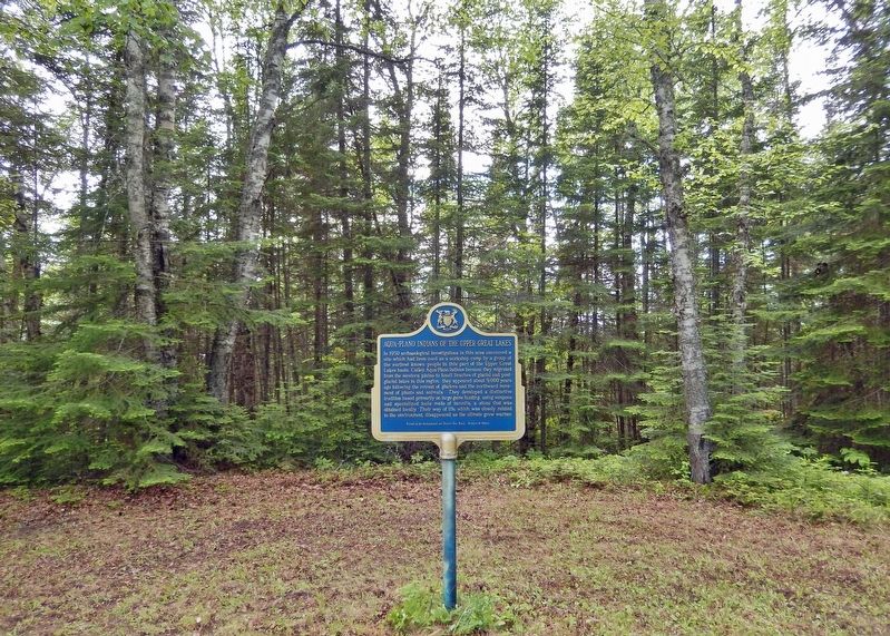
2. Aqua-Plano Indians of the Upper Great Lakes Marker
Looking west from Pass Lake Road; the northeastern shore of Thunder Bay is obscured by trees in the background.
Also see . . . Presence of Late Paleoindian Peoples (18,000 to 3,000 BCE) (National Park Service).
Excerpt: Following the retreat of the last glaciation, prehistoric hunters found ample prey among the caribou, bison, elk, and moose in an environment then in transition from a periglacial tundra to the present southern boreal forest. Their archeological remains are largely confined to stone tools and waste material left over from stone tool production. On the north shore of Lake Superior, Plano artifacts have been found at a number of sites, preserved in part by the effects of isostatic rebound of the shoreline which have elevated the already high beaches well above the current levels of Lake Superior.(Submitted on November 30, 2024, by Cosmos Mariner of Cape Canaveral, Florida.)
Photographed by Cosmos Mariner, June 14, 2024
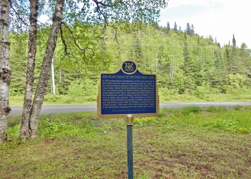
3. Aqua-Plano Indians of the Upper Great Lakes Marker
(west side)
(west side)
Looking east; Pass Lake Road crosses in the background.
Credits. This page was last revised on November 30, 2024. It was originally submitted on November 29, 2024, by Cosmos Mariner of Cape Canaveral, Florida. This page has been viewed 127 times since then and 32 times this year. Photos: 1, 2, 3. submitted on November 30, 2024, by Cosmos Mariner of Cape Canaveral, Florida.
