Jamestown near Williamsburg in James City County, Virginia — The American South (Mid-Atlantic)
James River: Life Line to a Colony

Photographed by William Pope, November 8, 2024
1. James River: Life Line to a Colony Marker
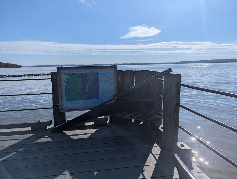
Jamestown Island, a peninsula in 1607, fit the criteria established by the Virginia Company as an ideal location for settlement. It was on a river that bent toward the northwest, was surrounded on three sides by water, was located at a bend well up from the river's mouth, and had a deep water port.
The James River linked Virginia Indian tribes to trade routes and resources throughout the Chesapeake Bay area. For Englishmen, the James helped to bridge continents by transporting the people and supplies on which survival depended. John Smith and others traveled the James to explore and map the region in search of natural resources. The river provided abundantly for those who lived along its shores.
Topics. This historical marker is listed in these topic lists: Colonial Era • Exploration • Indigenous Peoples and Communities • Settlements & Settlers • Waterways & Vessels. A significant historical year for this entry is 1607.
Location. 37° 13.29′ N, 76° 47.28′ W. Marker is near Williamsburg, Virginia, in James City County. It is in Jamestown. It can be reached from the intersection of Jamestown Road (Virginia
this page online

Regionally, this marker is on Virginia’s Peninsula, in Coastal Virginia, and in the Hampton Roads Metropolitan Area. It is also in the American South, specifically in the Upper South, in the Tidewater, and on the Eastern Seaboard. Globally, it is in the North Atlantic Region, North America, the Western Hemisphere, the Western World, and the Anglosphere. Historically, it finds itself in what was once the territory of the Mississippian Culture, one of the original Thirteen Colonies, one of the Confederate States of America, and the Antebellum South.
Other nearby markers. At least 8 other markers are within walking distance of this marker: Discovery (a few steps from this marker); Godspeed (within shouting distance of this marker); Voyage to Virginia (within shouting distance of this marker); Susan Constant
Photographed by William Pope, November 8, 2024
2. James River: Life Line to a Colony Marker
Credits. This page was last revised on August 14, 2025. It was originally submitted on November 30, 2024, by William Pope of Marietta, Pennsylvania. This page has been viewed 271 times since then and 42 times this year. Photos: 1, 2. submitted on November 30, 2024, by William Pope of Marietta, Pennsylvania. • Bernard Fisher was the editor who published this page.
