Piscataway in Prince George's County, Maryland — The American Northeast (Mid-Atlantic)
Piscataway
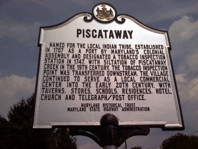
Photographed by Jacqui Chalifoux, August 20, 2010
1. Piscataway Marker
Erected 1955 by Maryland Historical Trust, Maryland State Highway Administration.
Topics and series. This historical marker is listed in these topic lists: Agriculture • Colonial Era • Industry & Commerce • Waterways & Vessels. In addition, it is included in the Maryland Historical Trust series list. A significant historical year for this entry is 1707.
Location. 38° 42.172′ N, 76° 58.044′ W. Marker is in Piscataway, Maryland, in Prince George's County. It is on Floral Park Road near Piscataway Road. Touch for map. Marker is at or near this postal address: 2401 Floral Park Rd, Clinton MD 20735, United States of America. Touch for directions.

Regionally, this marker is in
this page online
Other nearby markers. At least 8 other markers are within 4 miles of this marker, measured as the crow flies: Chapel Hill (approx. 1.9 miles away); Calvert Manor (approx. 2.4 miles away); Site of Silesia School (approx. 3 miles away); Thrift School (approx. 3.1 miles away); The Mortar Battery (approx. 3.2 miles away); Broad Creek Historic District (approx. 3.3 miles away); Firepower on the Potomac (approx. 3.3 miles away); “Coach” James W. Crawford (approx. 3.3 miles away).
Additional keywords. Tobacco industry, Piscataway indian tribe
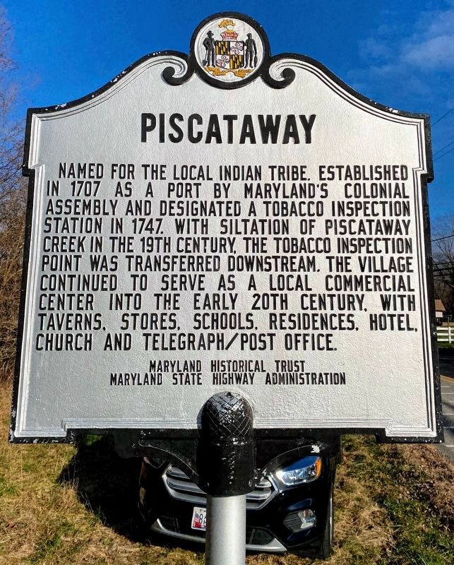
Photographed by Shane Oliver, December 26, 2020
2. Piscataway Marker
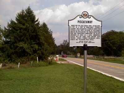
Photographed by Jacqui Chalifoux, August 20, 2010
3. Piscataway Marker
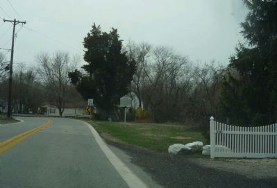
Photographed by Richard E. Miller, March 21, 2011
4. Floral Park Road, Piscataway, MD
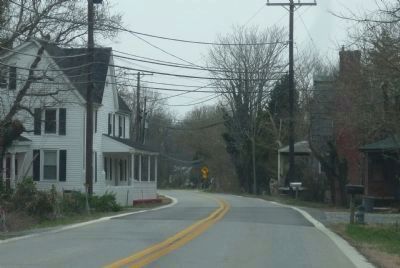
Photographed by Richard E. Miller, March 21, 2011
5. Floral Park Road, Piscataway, MD
Credits. This page was last revised on December 29, 2024. It was originally submitted on August 21, 2010, by Jacqueline White of Williamsburg, VA - Virginia. This page has been viewed 1,812 times since then and 77 times this year. Last updated on December 3, 2024, by Rico Ramirez of Prince Frederick, Maryland. Photos: 1. submitted on August 21, 2010, by Jacqueline White of Williamsburg, VA - Virginia. 2. submitted on June 10, 2021, by Shane Oliver of Richmond, Virginia. 3. submitted on August 21, 2010, by Jacqueline White of Williamsburg, VA - Virginia. 4, 5. submitted on April 1, 2011, by Richard E. Miller of Oxon Hill, Maryland. • Devry Becker Jones was the editor who published this page.
