Trenton in Quinte West in Hastings County, Ontario — Central Canada (North America)
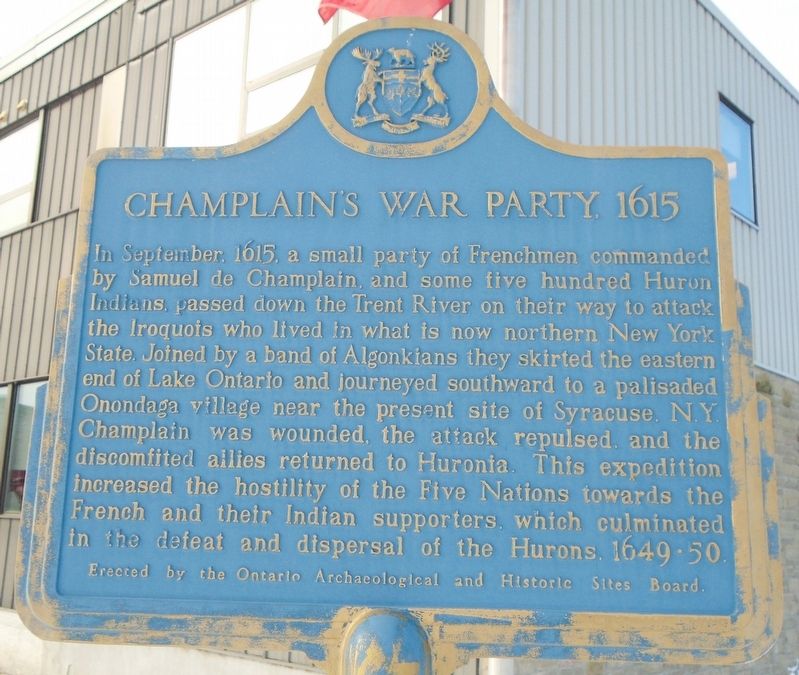
Champlain's War Party, 1615
Photographed by William Fischer, Jr., December 5, 2024
1. Champlain's War Party, 1615 Marker
Erected by Ontario Archaeological and Historic Sites Board.
Topics and series. This memorial is listed in these topic lists: Colonial Era • Indigenous Peoples and Communities • Wars, Non-US. In addition, it is included in the Canada, Ontario Heritage Trust series list. A significant historical month for this entry is September 1615.
Location. 44° 5.992′ N, 77° 34.494′ W. Memorial is in Quinte West, Ontario, in Hastings County. It is in Trenton. It
this page online

Regionally, this memorial is in Eastern Ontario and specifically in Southeastern Ontario. It is also in Central Canada. Globally, it is in North America, on the Great Lakes, in the Western Hemisphere, in the Western World, and in the Anglosphere. Historically, it finds itself in what was once a British colony, the Viceroyalty of New France, the Haudenosaunee (Iroquois) Confederacy, and Rupert’s Land.
Other nearby markers. At least 8 other markers are within walking distance of this marker: O. G. "Buster" Alyea Memorial Park (a few steps from this marker); Liberation of Holland 45th Anniversary (a few steps from this marker); War Memorial Cenotaph (within shouting distance of this marker); World Wars Memorial (about 90 meters away, measured in a direct line); Post Office Building Clock Tower (about 150 meters away); Granting the Freedom of the City of Trenton
Photographed by William Fischer, Jr., December 5, 2024
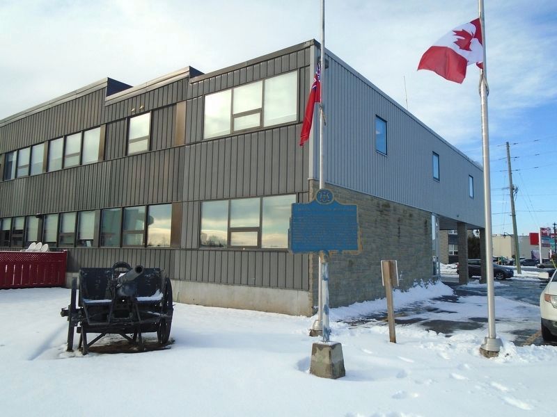
2. Champlain's War Party, 1615 Marker
World War I-era field gun with his party
Credits. This page was last revised on February 1, 2025. It was originally submitted on December 6, 2024, by William Fischer, Jr. of Reynoldsburg, Ohio. This page has been viewed 180 times since then and 31 times this year. Photos: 1, 2. submitted on December 6, 2024, by William Fischer, Jr. of Reynoldsburg, Ohio.
