The Landing in Shakopee in Scott County, Minnesota — The American Midwest (Upper Plains)
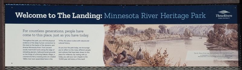
Welcome to The Landing: Minnesota River Heritage Park
Photographed by McGhiever, November 8, 2024
1. Welcome to The Landing: Minnesota River Heritage Park Marker
For countless generations, people have come to this place, just as you have today.
Throughout the park, you will find physical evidence of the deep human connection to this land on the banks of the dynamic and diverse Minnesota River. From ancient woolly mammoth hunts along the edge of retreating glaciers, hallowed burial grounds on the fringe of a thriving Dakota village, a colonist-era ferry crossing and a re-created 1880s river town assembled here in the 1970s; this place is alive with natural and cultural history.
As you tour the park today, we encourage you to reflect on the many different people and cultures that have been drawn to this place for millennia. By visiting with us today, you add your own chapter to the 10,000 year old history of this land!
[Caption:] The St. Peters River near its Confluence with the Mississippi
An interpretation of the confluence of the St. Peters (Minnesota) and Mississippi Rivers, or the area of Bdote, painted by Seth Eastman in 1848.
Image Courtesy of the Minnesota Historical Society
Erected by Three Rivers Park District.
Topics. This historical marker is listed
this page online
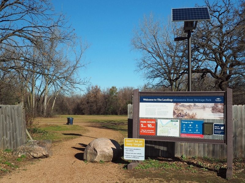
Location. 44° 48.173′ N, 93° 28.875′ W. Marker is in Shakopee, Minnesota, in Scott County. It is in The Landing. It is on the frontage road north of County Highway 101 when traveling north. The marker is at the east entrance of The Landing (also signposted as parking for the Minnesota Valley State Trail). Touch for map. Marker is in this post office area: Shakopee MN 55379, United States of America. Touch for directions.

Regionally, this marker is in the Minnesota River Valley and in the Twin Cities Metropolitan Area. It is also in the American Midwest and in the Corn Belt. Globally, it is in North America, the Western Hemisphere, the Western World, and the Anglosphere. Historically, it finds itself in what was once Rupert’s Land, the territory of the Mississippian Culture, and the Louisiana Purchase.
Other nearby markers. At least 8 other markers are within walking distance of this marker: Sugar Shack and Evaporator (about 500
Photographed by McGhiever, November 8, 2024
2. Marker at the east entrance of The Landing: Minnesota River Heritage Park
More about this marker. The grounds of The Landing are free to access year-round.
Credits. This page was last revised on December 12, 2024. It was originally submitted on December 9, 2024, by McGhiever of Minneapolis, Minnesota. This page has been viewed 264 times since then and 60 times this year. Photos: 1, 2. submitted on December 9, 2024, by McGhiever of Minneapolis, Minnesota.
