Surry in Surry County, Virginia — The American South (Mid-Atlantic)
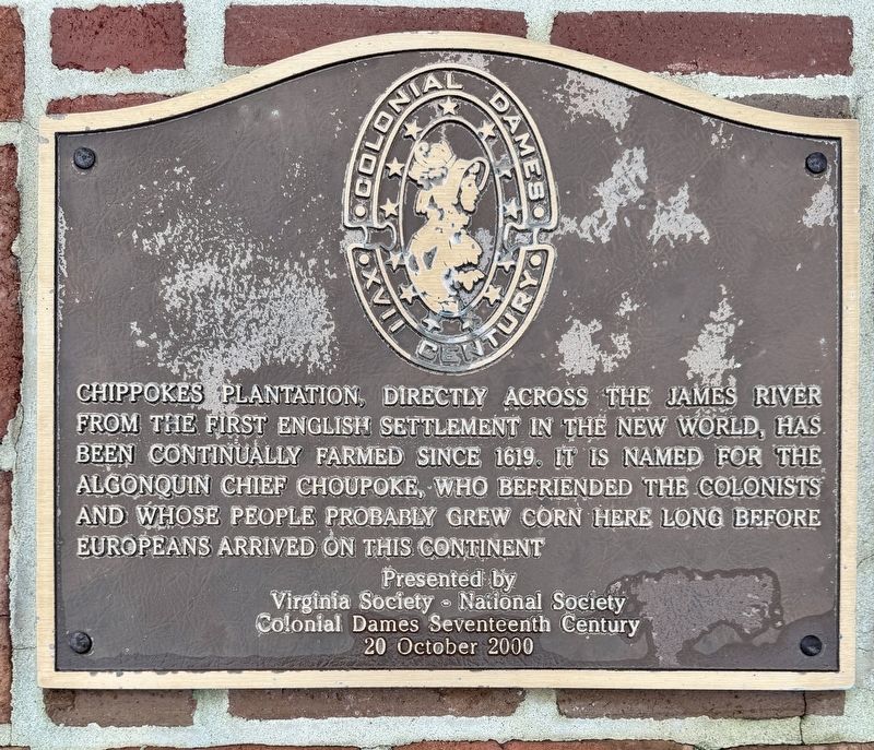
Chippokes Plantation
Chippokes State Park
Photographed by Brandon D Cross
1. Chippokes Plantation Marker
Virginia Society • National Society
Colonial Dames Seventeenth Century
20 October 2000
Erected 2000 by Virginia Society and National Society Colonial Dames Seventeenth Century.
Topics. This historical marker is listed in these topic lists: Agriculture • Colonial Era • Parks & Recreational Areas • Settlements & Settlers. A significant historical year for this entry is 1619.
Location. 37° 8.534′ N, 76° 43.614′ W. Marker is in Surry, Virginia, in Surry County. It can be reached from Quarter Lane east of Plantation Road, on the right when traveling north. The marker is located on the grounds of Chippokes State Park. Touch for map. Marker is at or near this postal address: 868 Plantation Rd, Surry VA 23883, United States of America. Touch for directions.

Regionally, this marker is in
this page online
Other nearby markers. At least 8 other markers are within walking distance of this marker: The River House (within shouting distance of this marker); A History of Silence (approx. 0.2 miles away); Steam: The Great Connector (approx. 0.2 miles away); An Agricultural Legacy (approx. ¼ mile away); A Mansion of Many Colors (approx. 0.4 miles away); Packard Garage (approx. 0.4 miles away); Paradise Garden (approx. half a mile away); Enslaved Laborers Memorial (approx. half a mile away). Touch for a list and map of all markers in Surry.
Also see . . .
1. Surry County: Chippokes Plantation. (Submitted on December 20, 2024, by Brandon D Cross of Flagler Beach, Florida.)
2. Chippokes State Park.
Photographed by Brandon D Cross
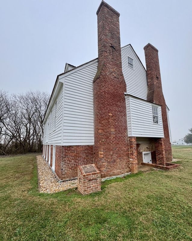
2. Chippokes Plantation Marker
Photographed by Brandon D Cross
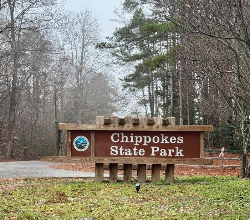
3. Chippokes State Park Entrance Sign
Credits. This page was last revised on December 28, 2024. It was originally submitted on December 20, 2024, by Brandon D Cross of Flagler Beach, Florida. This page has been viewed 169 times since then and 24 times this year. Photos: 1, 2, 3. submitted on December 20, 2024, by Brandon D Cross of Flagler Beach, Florida. • Bernard Fisher was the editor who published this page.
