Surry in Surry County, Virginia — The American South (Mid-Atlantic)
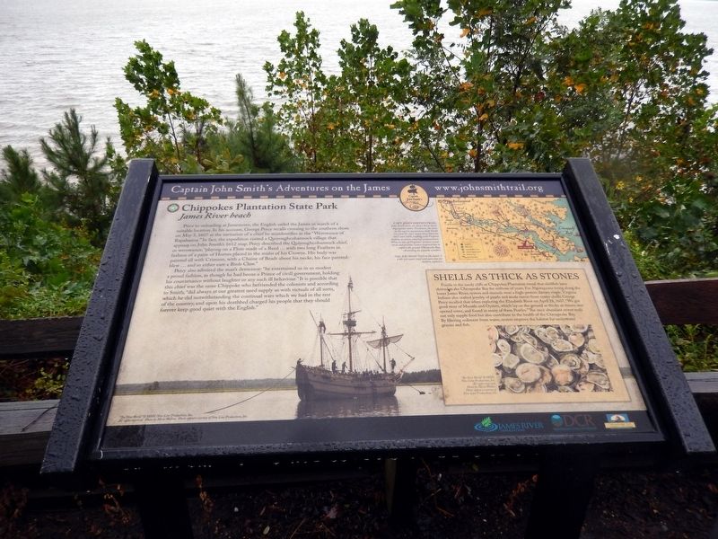
Captain John Smith’s Adventures on the James
Chippokes Plantation State Park
| — | James River beach | — |
Photographed by Don Morfe, September 20, 2016
1. John Smith’s Adventures on the James Marker
Percy also admired the man’s demeanor: “he entertained us in so modest a proud fashion, as though he had beene a Prince of civill government, holding his countenance without laughter or any such ill behaviour.” It is possible that this chief was the same Chippoke who befriended the colonists and according to Smith, “did always at our greatest need supply us with victuals of sorts, which he did notwithstanding the continual wars which we had in the rest of
this page online
(sidebar)
Shells as Thick as Stones
Fossils in the sandy cliffs at Chippokes Plantation reveal that shellfish have thrived in the Chesapeake Bay for millions of years. For Algonquians living along the lower James River, oysters and mussels were high-protein dietary staple. Virginia Indians also crafted jewelry of pearls and made razors from oyster shells. George Percy recalled that when exploring the Elizabeth River on April 28, 1607, “We got good store of Mussels and Oysters, which lay on the ground as thicke as stones: wee opened some, and found in many of them Pearles.” The once abundant oyster reefs not only supply food but also contribute to the health of the Chesapeake Bay. By filtering sediment from water, oysters improve the habitat for underwater grasses and fish.
(caption)
Capt. John Smith’s Trail
John Smith knew the James River by its Algonquian name: Powhatan, the same as the region’s paramount chief. Smith traveled the river many times between 1607 and 1609, trading with Virginia Indians to ensure survival at Jamestown. What he saw of Virginia’s verdant woodlands and pristine waters inspired him to explore the greater Chesapeake Bay, chronicling its natural wonders.
Capt. John Smith’s Trail on the James is a 40-site water trail and auto tour for modern explorers.
Erected by Captain
Photographed by Don Morfe, September 20, 2016
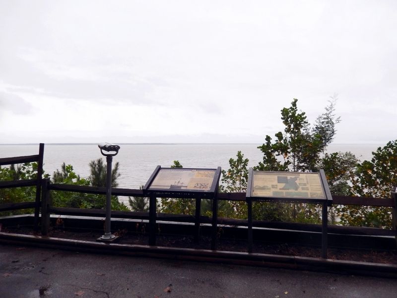
2. John Smith’s Adventures on the James Marker
This marker is the marker on the left. The marker on the right was not legible.
Topics. This historical marker is listed in these topic lists: Colonial Era • Exploration • Indigenous Peoples and Communities • Waterways & Vessels. A significant historical date for this entry is May 5, 1607.
Location. Marker has been reported permanently removed. It was located near 37° 8.765′ N, 76° 44.304′ W. Marker was in Surry, Virginia, in Surry County. It could be reached from the intersection of Chippokes Park Road (Virginia Route 665) and Plantation Road ( Route 783), on the left when traveling north. The marker is located in Chippokes Plantation State Park near the Farm Museum. Touch for map. Marker was at or near this postal address: 695 Chippokes Park Road, Surry VA 23883, United States of America.
We have been informed that this marker is no longer there and will not be replaced. This page is an archival view of what was.
Regionally, this marker was in Coastal Virginia and in the Hampton Roads Metropolitan Area. It was also in the American South, specifically

Photographed by Don Morfe, September 20, 2016
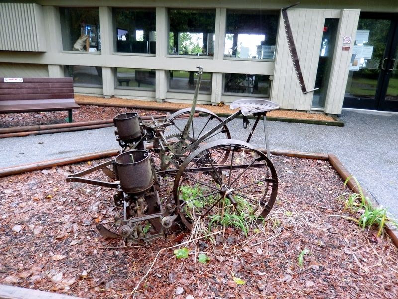
3. Chippokes Plantation Farm Museum
Other nearby markers. At least 8 other markers are within walking distance of this location: Working the Land (here, next to this marker); A Deep History (here, next to this marker); Community Life (a few steps from this marker); Eastern Virginia Indians (a few steps from this marker); Chippokes Plantation (approx. 0.7 miles away); The River House (approx. 0.7 miles away); Steam: The Great Connector (approx. ¾ mile away); A History of Silence (approx. 0.8 miles away). Touch for a list and map of all markers in Surry.
Also see . . .
1. Captain John Smith’s Trail. (Submitted on September 27, 2016.)
2. Chippokes Plantation State Park. Virginia Department of Conservation and Recreation website entry (Submitted on September 27, 2016.)
Photographed by Don Morfe, September 20, 2016
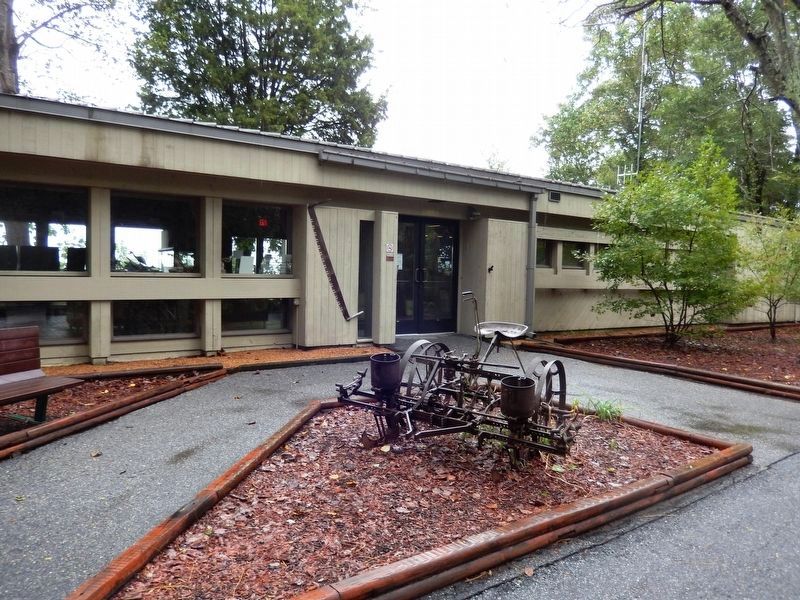
4. Chippokes Plantation Farm Museum
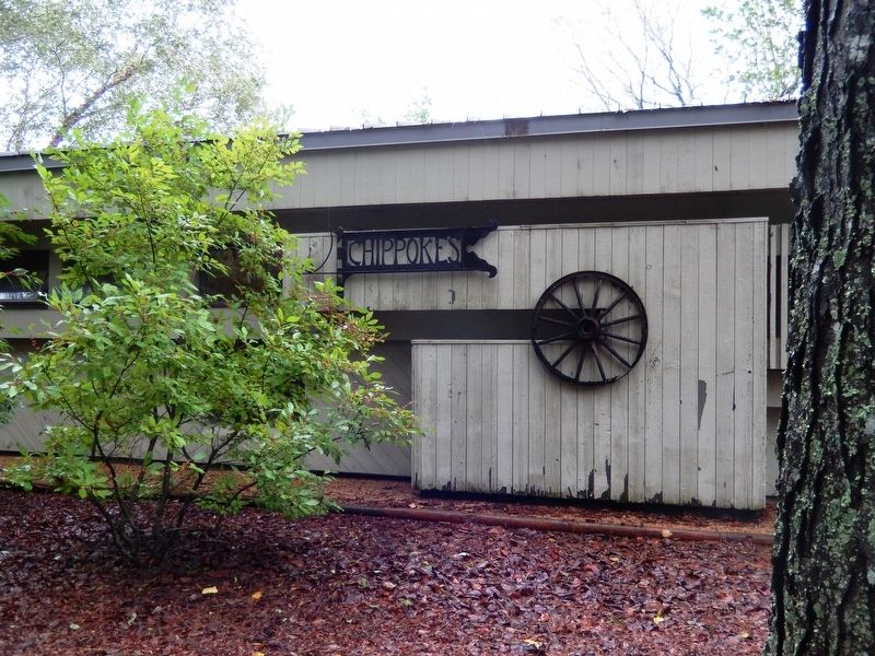
Photographed by Don Morfe, September 20, 2016
5. Chippokes Plantation Farm Museum
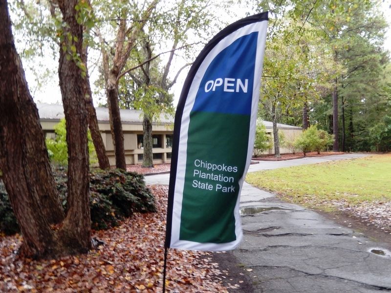
Photographed by Don Morfe, September 20, 2016
6. Chippokes Plantation State Park banner
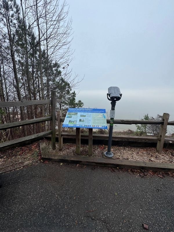
Photographed by Brandon D Cross, December 18, 2024
7. Eastern Virginia Indians Marker
Credits. This page was last revised on September 13, 2025. It was originally submitted on September 27, 2016, by Don Morfe of Baltimore, Maryland. This page has been viewed 1,085 times since then and 60 times this year. Last updated on December 27, 2024, by Brandon D Cross of Flagler Beach, Florida. Photos: 1, 2, 3, 4, 5, 6. submitted on September 27, 2016, by Don Morfe of Baltimore, Maryland. 7. submitted on December 27, 2024, by Brandon D Cross of Flagler Beach, Florida. • Bernard Fisher was the editor who published this page.
