
Bandelier National Monument in Los Alamos County, New Mexico — The American Mountains (Southwest)
Houses
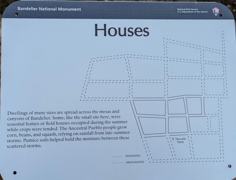
Photographed by Michelle Terry, December 13, 2024
1. Houses Marker
Erected by National Park Service.
Topics. This historical marker is listed in these topic lists: Anthropology & Archaeology • Indigenous Peoples and Communities • Parks & Recreational Areas.
Location. 35° 47.388′ N, 106° 16.815′ W. Marker is in Bandelier National Monument, New Mexico, in Los Alamos County. It can be reached from Unnamed path, on the right when traveling north. The marker is on the Tyuonyi Overlook Trail in Bandelier National Monument. Touch for map. Marker is in this post office area: White Rock NM 87547, United States of America. Touch for directions.

Regionally, this marker is in Northern New Mexico. It is also in the American Southwest. Globally, it is in North America,
this page online
Other nearby markers. At least 8 other markers are within 7 miles of this marker, measured as the crow flies: Los Alamos (approx. 6.1 miles away); Los Alamos Project Main Gate Park (approx. 6.1 miles away); Senator Clinton P. Anderson Scenic Route (approx. 6.3 miles away); Peggy Pond Church (approx. 6.4 miles away); Ice House Memorial (approx. 6.4 miles away); Los Alamos Scientific Laboratory (approx. 6.4 miles away); Los Alamos National Laboratory Today (approx. 6.4 miles away); Manhattan Project National Historical Park (approx. 6.4 miles away).
Another marker is no longer nearby. Ice House Memorial (was approx. 6.4 miles away but has been permanently removed).

Photographed by Michelle Terry, December 13, 2024
2. Houses Marker
Credits. This page was last revised on January 18, 2025. It was originally submitted on January 11, 2025, by Michelle Terry of Takoma Park, Maryland. This page has been viewed 163 times since then and 14 times this year. Photos: 1, 2. submitted on January 11, 2025, by Michelle Terry of Takoma Park, Maryland. • J. Makali Bruton was the editor who published this page.
