Fort Hamilton in Brooklyn in Kings County, New York — The American Northeast (Mid-Atlantic)
Salt Marshes
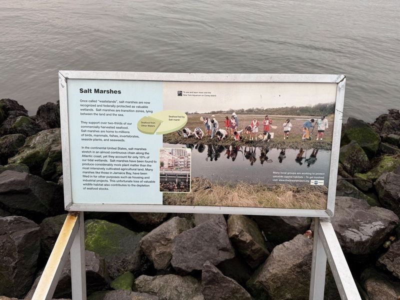
Once called "wastelands", salt marshes are now recognized and federally protected as valuable wetlands. Salt marshes are transition zones, lying between the land and the sea.
They support over two-thirds of our commercially harvested seafood. Salt marshes are home to millions of birds, mammals, fishes, invertebrates, seaside plants, and seaweeds.
In the continental United States, salt marshes stretch in an almost continuous chain along the Atlantic Coast, yet they account for only 10% of our tidal wetlands. Salt marshes have been found to produce considerably more plant matter than the most intensively cultivated agricultural land. Many marshes like those in Jamaica Bay, have been filled in for other purposes such as housing and industrial projects. This unfortunate loss of valuable wildlife habitat also contributes to the depletion of seafood stocks.
Erected by Wildlife Conservation Society.
Topics. This historical marker is listed in these topic lists: Environment • Industry & Commerce • Natural Features • Waterways & Vessels.
Location. 40° 37.214′ N, 74° 2.492′ W.
this page online

Regionally, this marker is in New York City and on Long Island. It is also in the American Northeast, in the Mid-Atlantic, and on the Eastern Seaboard. Globally, it is in the North Atlantic Region, North America, the Western Hemisphere, the Western World, and the Anglosphere. Historically, it finds itself in what was once New Netherland and also one of the original Thirteen Colonies.
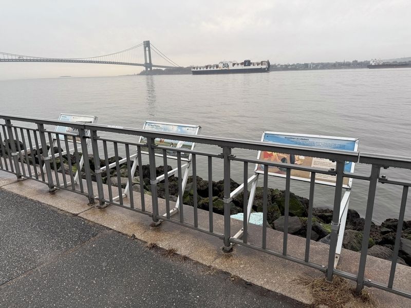
Other nearby markers. At least 8 other markers are within walking distance of this marker: Coastlines as Lifelines (here, next to this marker); Rudy Piccirillo Coaches Field (approx. 0.4 miles away); Fort Hamilton World War I Memorial (approx. 0.6 miles away); Frank Decolvenaere Dog Run (approx. 0.6 miles away); 1916 Easter Rising Memorial Marker (approx. 0.6 miles away); The Freedom Tree (approx. 0.7 miles away); a different marker also named The Freedom Tree
Additional keywords. coastal wetlands
Photographed by Devry Becker Jones (CC0)
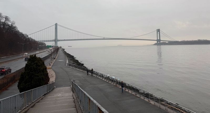
3. A nearby view of the Verrazzano Narrows Bridge between Brooklyn and Staten Island
Photographed by Devry Becker Jones (CC0), January 18, 2025
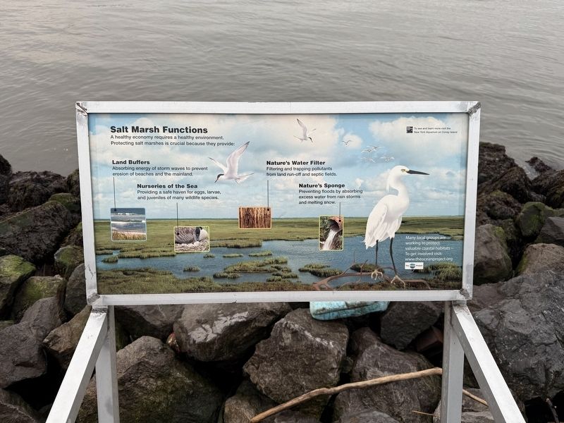
4. Salt Marshes Functions sign
This adjacent interpretive sign features no historical information.
Credits. This page was last revised on January 22, 2025. It was originally submitted on January 22, 2025, by Devry Becker Jones of Washington, District of Columbia. This page has been viewed 102 times since then and 15 times this year. Photos: 1, 2, 3, 4. submitted on January 22, 2025, by Devry Becker Jones of Washington, District of Columbia.
