Fort Hamilton in Brooklyn in Kings County, New York — The American Northeast (Mid-Atlantic)
Coastlines as Lifelines
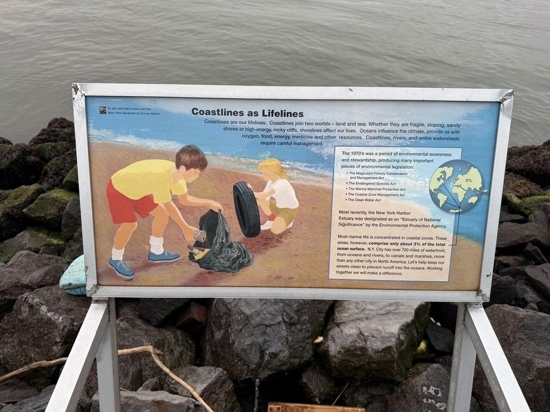
Coastlines are our lifelines. Coastlines join two worlds — land and sea. Whether they are fragile, sloping, sandy shores or high-energy, rocky cliffs, shorelines affect our lives. Oceans influence the climate, provide us with oxygen, food, energy, medicine and other resources. Coastlines, rivers, and entire watersheds require careful management.
The 1970's was a period of environmental awareness and stewardship, producing many important pieces of environmental legislation:
• The Magnuson Fishery Conservation and Management Act
• The Endangered Species Act
• The Marine Mammal Protection Act
• The Coastal Zone Management Act
• The Clean Water Act
Most recently, the New York Harbor Estuary was designated as an Estuary of National Significance" by the Environmental Protection Agency.
Most marine life is concentrated in coastal zones. These areas, however, comprise only about 3% of the total ocean surface. N.Y. City has over 700 miles of waterfront, from oceans and rivers, to canals and marshes, more than any other city in North America. Let's help keep our streets clean to prevent runoff into the oceans.
this page online
Erected by Wildlife Conservation Society.
Topics. This historical marker is listed in these topic lists: Animals • Environment • Natural Features • Waterways & Vessels.
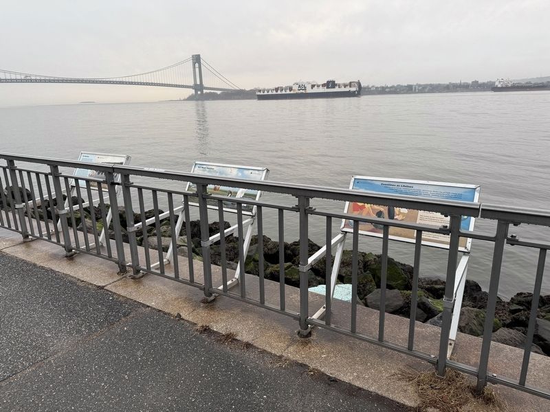
Location. 40° 37.216′ N, 74° 2.492′ W. Marker is in Brooklyn, New York, in Kings County. It is in Fort Hamilton. It can be reached from Shore Road south of 92nd Street, on the right when traveling south. Touch for map. Marker is in this post office area: Brooklyn NY 11209, United States of America. Touch for directions.

Regionally, this marker is in New York City and on Long Island. It is also in the American Northeast, in the Mid-Atlantic, and on the Eastern Seaboard. Globally, it is in the North Atlantic Region, North America, the Western Hemisphere, the Western World, and the Anglosphere. Historically, it finds itself in what was once New Netherland and also one of the original Thirteen Colonies.
Other nearby markers. At least 8 other markers are within walking distance of this marker: Salt Marshes (here, next to this marker); Rudy Piccirillo Coaches Field
Credits. This page was last revised on January 22, 2025. It was originally submitted on January 22, 2025, by Devry Becker Jones of Washington, District of Columbia. This page has been viewed 156 times since then and 25 times this year. Photos: 1, 2. submitted on January 22, 2025, by Devry Becker Jones of Washington, District of Columbia.
