
Wissahickon Valley Park in Philadelphia in Philadelphia County, Pennsylvania — The American Northeast (Mid-Atlantic)
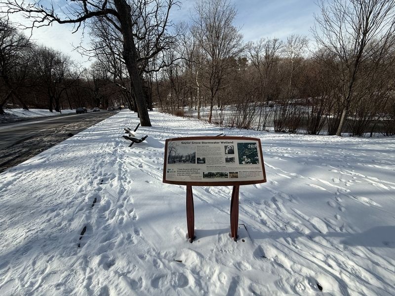
Sailor Grove Stormwater Wetland

Photographed by Devry Becker Jones (CC0), January 25, 2025
1. Sailor Grove Stormwater Wetland Marker
Historic Saylor Grove
Stormwater runoff from about 150 acres of developed land drains through Saylor Grove, located within Monoshone Creek Watershed. The original inhabitants of this land were the Lenape people, from whom the name "Monoshone" originates. In the Lenape language, "Monoshone" means 'Stream where we gather grasses.'
Industrialization between 1690 and the mid-1800s brought Mills and quarries to the edge of Saylor Grove. The intense use of the creek to carry away industrial and human waste damaged all aspects of the Monoshone Creek Watershed.
Since the late 1800s, residential development has forced increasing volumes of polluted stormwater runoff into Monoshone Creek. Today the Monoshone is considered "impaired"-- polluted and unable to support the plants and animals once found there. There are a number of ways, however, to improve Monoshone Creek
Why Restore Monoshone Creek?
Monoshone Creek is a tributary of Wissahickon Creek. Wissahickon Creek empties into the Schuylkill River near the intake for Philadelphia's queen Lane Water Treatment Plant. Because 24% of the City's drinking water comes from
this page online
Why a Wetland to Restore the Creek?
Wetlands clean water, replenish groundwater, reduce flooding risk, and provide places for wildlife to live. Saylor Grove Wetland helps to slow down and filter polluted stormwater runoff before it enters Monoshone Creek.
"I hope the Grove will thrive and bring beauty into the lives of many men, women and children in the days to come."
Harold D. Saylor, 1974
Judge Saylor (1892-1981) served as a Fairmount Park Commissioner for nearly twenty-five years. Sailor Grove was named in his honor to recognize his lifelong commitment to conservation of the region's natural resources.
Erected by Philadelphia Water Department; Center in the park; Fairmount Park; DOP; Growing Greener.
Topics. This historical marker is listed in these topic lists: Environment • Industry & Commerce • Parks & Recreational Areas • Waterways & Vessels. A significant historical year for this entry is 1690.
Location. 40° 1.751′ N, 75° 11.241′ W. Marker is in Philadelphia, Pennsylvania,
Photographed by Devry Becker Jones (CC0), January 25, 2025
2. Sailor Grove Stormwater Wetland Marker

Regionally, this marker is in Southeast Pennsylvania. It is also in the American Northeast and in the Mid-Atlantic. Globally, it is in North America, the Western Hemisphere, the Western World, and the Anglosphere. Historically, it finds itself in what was once the Haudenosaunee (Iroquois) Confederacy, New Netherland, and one of the original Thirteen Colonies.
Other nearby markers. At least 8 other markers are within walking distance of this marker: Joseph Huston (about 500 feet away, measured in a direct line); Colonial Herb Garden (about 600 feet away); Rittenhouse Homestead (about 700 feet away); Rittenhousetown Historic District (about 700 feet away); David Rittenhouse (about 700 feet away); Homestead (about 700 feet away); Rittenhouse Town (about 800 feet away); Dr. Mary Davis Ridgway (approx. 0.2 miles

Photographed by Devry Becker Jones (CC0), January 25, 2025
3. Nearby signage for the Saylor Grove Stormwater Wetland
Credits. This page was last revised on January 26, 2025. It was originally submitted on January 26, 2025, by Devry Becker Jones of Washington, District of Columbia. This page has been viewed 188 times since then and 32 times this year. Photos: 1, 2, 3. submitted on January 26, 2025, by Devry Becker Jones of Washington, District of Columbia.
