Johns Hopkins Homewood in Baltimore, Maryland — The American Northeast (Mid-Atlantic)
Charles Street at Wyman Park Dell
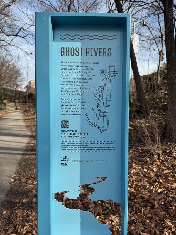
| — | Ghost Rivers | — |
Photographed by Devry Becker Jones (CC0), February 2, 2025
1. Charles Street at Wyman Park Dell Marker
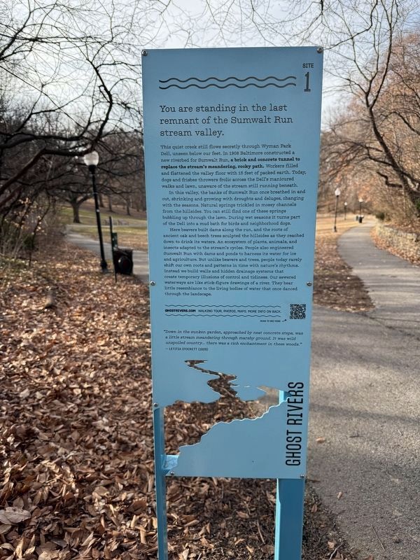
You are standing in the last remnant of the Sumwalt Run stream valley.
This quiet creek still flows secretly through Wyman Park Dell, unseen below our feet. In 1908 Baltimore constructed a new Riverbed for Sumwalt Run, a brick and concrete tunnel to replace the stream's meandering, rocky pat. Workers filled and flattened the valley floor with 15 feet of packed earth. Today, dogs and frisbee throwers frolic across the Dell's manicured walks and lawn, unaware of the stream still running beneath.
In this valley, the banks of Sumwalt Run once breathed in and out, shrinking and growing with droughts and deluges, changing with the seasons. Natural springs trickled in mossy channels from the hillsides. You can still find one of these springs bubbling up through the lawn. During wet seasons it turns part of the Dell into a mud bath for birds and neighborhood dogs.
Here beavers build dams along the run, and the roots of ancient oak and beech trees sculpted the hillsides as they reached down to drink its waters. An ecosystem of plants, animals, and insects adapted to the stream's cycles. People also engineered Sumwalt
this page online
"Down in the sunken garden, approached by neat concrete steps, was a little stream meandering through marshy ground. It was wild unspoiled country… there was a rich enchantment in these woods."
- Letitia Stockett (1928)
Erected by Greater Remington Improvement Association. (Marker Number 1.)
Topics. This historical marker is listed in these topic lists: Environment • Industry & Commerce • Parks & Recreational Areas • Waterways & Vessels. A significant historical year for this entry is 1908.
Location. 39° 19.539′ N, 76° 37.075′ W. Marker is in Baltimore, Maryland. It is in Johns Hopkins Homewood. It is on North Charles Street (Maryland Route 139) south of Art Museum
Photographed by Devry Becker Jones (CC0), February 2, 2025
2. Charles Street at Wyman Park Dell Marker

Regionally, this marker is in Central Maryland. It is also in the American Mid-Atlantic, in the Chesapeake Bay Region, and on the Eastern Seaboard. Globally, it is in the North Atlantic Region, North America, the Western Hemisphere, the Western World, and the Anglosphere. Historically, it finds itself in what was once one of the original Thirteen Colonies and also the Antebellum South.
Other nearby markers. At least 8 other markers are within walking distance of this marker: Gatehouse (about 300 feet away, measured in a direct line); Wyman Park Dell (about 500 feet away); Lion (about 500 feet away); Joseph Beuys Tree Partnership (about 600 feet away); Spring House or Dairy - c. 1812 (about 600 feet away); Union Soldiers and Sailors Monument (about 700 feet away); Robert E. Lee and Thomas. J. “Stonewall” Jackson Monument
Photographed by Devry Becker Jones (CC0), February 2, 2025
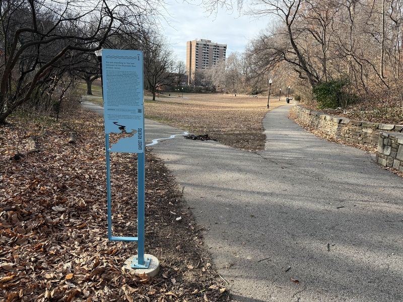
3. Charles Street at Wyman Park Dell Marker
Another marker is no longer nearby. Lee Jackson Monument (was about 700 feet away but has been replaced with another marker now near it).
Credits. This page was last revised on February 2, 2025. It was originally submitted on February 2, 2025, by Devry Becker Jones of Washington, District of Columbia. This page has been viewed 125 times since then and 18 times this year. Photos: 1, 2, 3, 4. submitted on February 2, 2025, by Devry Becker Jones of Washington, District of Columbia.
