Remington in Baltimore, Maryland — The American Northeast (Mid-Atlantic)
27th St
| — | Ghost Rivers | — |
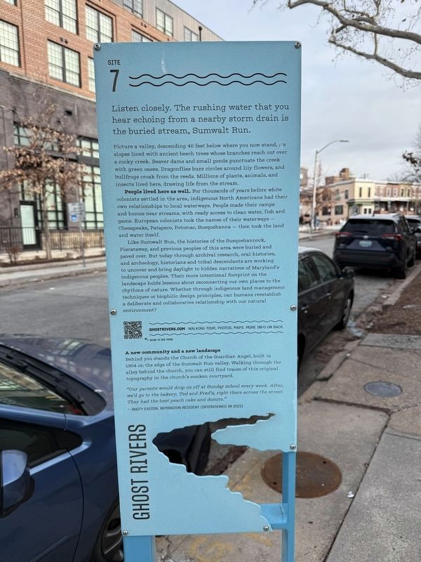
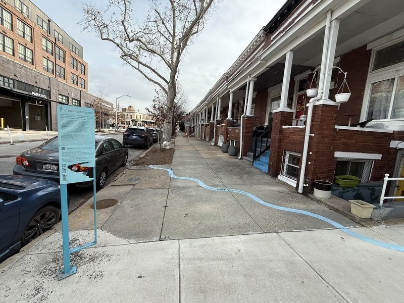
Listen closely. If you stand near the storm drain at Fox Street you can hear the buried stream, Sumwalt Run.
Picture a valley, descending 40 feet below where you now stand, its slopes lined with ancient beech trees whose branches reach out over a rocky creek. Beaver dams and small ponds punctuate the creek with green oases. Dragonflies buzz circles around lily flowers, and bullfrogs croak from the reeds. Millions of plants, animals, and insects lived here, drawing life from the stream.
People lived here as well. For thousands of years before white colonists settled in the area, Indigenous North Americans had their own relationships to local waterways. People made their camps and homes near streams, with ready access to clean water, fish and game. European colonists took the names of their waterways — Chesapeake, Patapsco, Potomac, Susquehanna — then took the land and water itself.
Like Sumwalt Run, the histories of the Susquehannock, Piscataway, and previous peoples of this area were buried and paved over. But today through archival research, oral histories, and archeology, historians and tribal descendants are
this page online
A new community and a new landscape
Behind you stands the Church of the Guardian Angel, built in 1904 on the edge of the Sumwalt Run valley. Walking through the alley behind the church, you can still find traces of this original topography in the church's sunken courtyard.
"Our parents would drop us off at Sunday school every week. After, we'd go to the bakery, Ted and Fred's, right there across the street. They had the best peach cake and donuts."
— Rusty Easton, Remington Resident (Interviewed in 2021)
Erected by Greater Remington Improvement Association. (Marker Number 7.)
Topics. This historical marker is listed in these topic lists: Anthropology & Archaeology • Indigenous Peoples and Communities • Settlements & Settlers
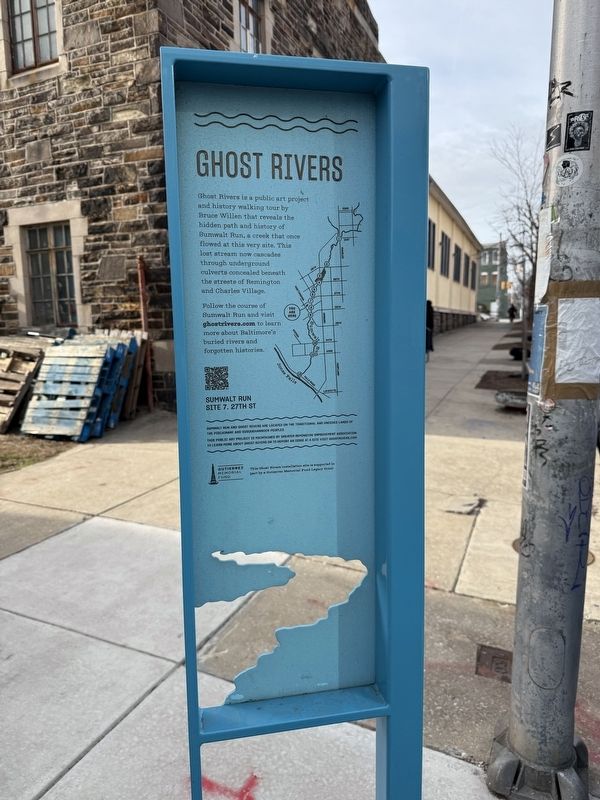
Location. 39° 19.205′ N, 76° 37.281′ W. Marker is in Baltimore, Maryland. It is in Remington. It is at the intersection of West 27th Street and Fox Street, on the left when traveling west on West 27th Street. Touch for map. Marker is at or near this postal address: 335 W 27th St, Baltimore MD 21211, United States of America. Touch for directions.

Regionally, this marker is in Central Maryland. It is also in the American Mid-Atlantic, in the Chesapeake Bay Region, and on the Eastern Seaboard. Globally, it is in the North Atlantic Region, North America, the Western Hemisphere, the Western World, and the Anglosphere. Historically, it finds itself in what was once one of the original Thirteen Colonies and also the Antebellum South.
Other nearby markers. At least 8 other markers are within walking distance of this marker: Lorraine Ave (within shouting distance of this marker); Remington (within shouting distance of this marker); Remington Ave (about 300 feet away, measured in a direct line); 26th St (about 400 feet away); Cresmont Ave (about 500 feet away);
Another marker is no longer nearby. Wyman Park Dell at 29th St (was approx. ¼ mile away but has been confirmed missing).
Credits. This page was last revised on February 2, 2025. It was originally submitted on February 2, 2025, by Devry Becker Jones of Washington, District of Columbia. This page has been viewed 96 times since then and 12 times this year. Photos: 1, 2, 3. submitted on February 2, 2025, by Devry Becker Jones of Washington, District of Columbia.
