Mount Pleasant in Charleston County, South Carolina — The American South (South Atlantic)
Early Site History
Oyster Point
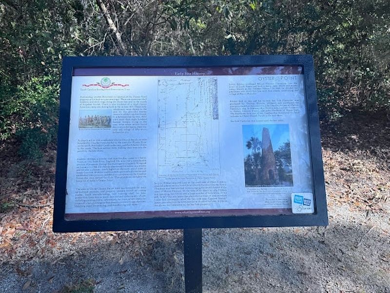
Photographed by Thomas Moore, February 8, 2025
1. Early Site History Marker
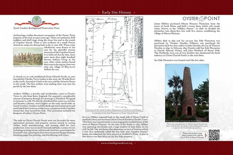
A church act in 1706 established Christ Church Parish, an area bounded by Charles Town harbor to the west, the Wando River to the north, Awendaw Creek to the east, and the Atlantic Ocean to the south. The first settlers were making their way into the parish by the late 1600s.
Andrew Hibben, a jeweler and watchmaker, came to Charles Town in 1763 from Kent, England. He acquired a considerable amount of property through his marriage to Elizabeth Wingood on January 12, 1766. He shortly abandoned his career as a jeweler
this page online
The soils in Christ Church Parish were not favorable for most agricultural pursuits, and property owners turned to cutting timber, brick manufacturing, and burning shell for lime production. Lime was in much demand and had a variety of uses including creating mortar, whitewash, fertilizer, an antiseptic for livestock's feet, painting on fruit trees to prevent fungal diseases, bleaching paper for printing, and disinfecting well-water.
In 1770, Hibben acquired land on the south side of Shem Creek to establish a fairy service from Christ Church Parish to Charles Town. This ferry was instrumental in encouraging the establishment of the town in Mount Pleasant. At the time of his death in 1784, Hibben was operating two ferries and a large number of lime kilns. In his will, he left “my son James that plantation or tract of land on which I now live commonly called the Sea Side near Copahee Sound.” James also
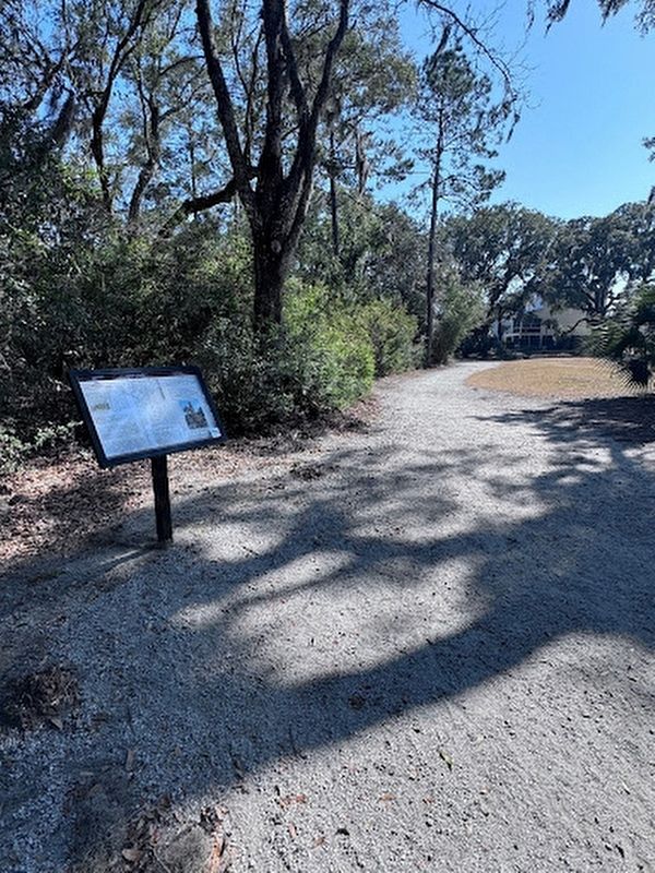
Photographed by Thomas Moore, February 8, 2025
2. Early Site History Marker
Marker along the Fort Palmetto Park Trail.
James Hibben purchased Mount Pleasant Plantation from the estate of Jacob Motte and built a home there which still stands today, known as the “Hibben House.” In 1808, he divided the plantation into thirty-five lots with five streets, establishing the village of Mount Pleasant.
Hibben died in 1835 and his 731-acre Sea Side Plantation was purchased by Thomas Hamlin. Hibben's son purchased the plantation back but then sold it to John Hamlin, the son of Thomas Hamlin, in 1839. In February 1852, Hamlin sold Sea Side Plantation to Daniel, Edward, Henry, and John Horlbeck of Boone Hall. The Horlbecks were one of two families that dominated the brick industry in Christ Church Parish in the mid-1800s.
Sea Side Plantation was farmed until the late 1980s.
(captions)
Early Native Americans in Carolina.
An 1801 plat of Sea Side Plantation in Christ Church Parish. Courtesy of the South Carolina Department of Archives and History.
This surviving chimney in Christ church Parish was host to the fire for the boilers that produced the steam to operate the brick-making machine. Photo is courtesy of Suzannah Smith Miles.
Erected by South
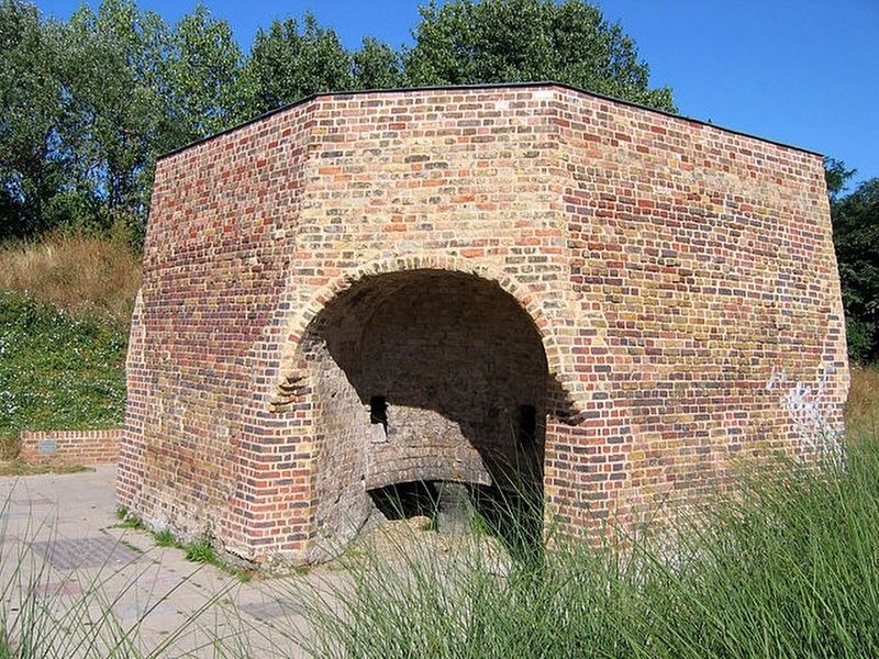
3. Lime Kiln
Topics. This historical marker is listed in these topic lists: Anthropology & Archaeology • Colonial Era • Indigenous Peoples and Communities • Settlements & Settlers.
Location. 32° 49.715′ N, 79° 48.052′ W. Marker is in Mount Pleasant, South Carolina, in Charleston County. It can be reached from the intersection of North Palmetto Fort Drive and McManus Road, on the right when traveling north. The marker is located 250 yards east of the Fort Palmetto Park parking lot. Touch for map. Marker is at or near this postal address: 2213 N Palmetto Fort Dr, Mount Pleasant SC 29466, United States of America. Touch for directions.

Regionally, this marker is in the Lowcountry. It is also in the American South, specifically in the Deep South, and on the Eastern Seaboard. Globally, it is in the North Atlantic Region, North America, the Western Hemisphere, the Western World, and the Anglosphere. Historically, it finds itself in what was once the territory of the Mississippian Culture, one of the original Thirteen Colonies, one
Photographed by South Carolina Battleground Preservation Trust
4. Early Site History Marker
Other nearby markers. At least 8 other markers are within 2 miles of this marker, measured as the crow flies: Christ Church Parish Line (within shouting distance of this marker); The Christ Church Lines (approx. 0.3 miles away); Fort Palmetto (approx. 0.4 miles away); Defending the Inland Waterways (approx. half a mile away); Seaside (approx. 1.1 miles away); Christ Church (approx. 1.3 miles away); Confederate Lines (approx. 1.3 miles away); a different marker also named Christ Church (approx. 1.3 miles away). Touch for a list and map of all markers in Mount Pleasant.
Another marker is no longer nearby. Cook's Old Field Cemetery / Copahee Plantation and Hamlin Beach (was approx. 0.9 miles away but has been confirmed missing).
Also see . . . South Carolina Battleground Preservation Trust. (Submitted on February 18, 2025.)
Credits. This page was last revised on February 18, 2025. It was originally submitted on February 16, 2025, by Thomas Moore of Charleston, South Carolina. This page has been viewed 293 times since then and 44 times this year. Photos: 1, 2, 3. submitted on February 16, 2025, by Thomas Moore of Charleston, South Carolina. 4. submitted on February 18, 2025. • Bernard Fisher was the editor who published this page.
