Winterhaven in Imperial County, California — The American West (Pacific Coastal)
Sand Sea
You're standing on North America's largest active erg.

Photographed by Adam Margolis, February 1, 2025
1. Sand Sea Marker
An erg describes any large area covered by sand, and the Imperial Sand Dunes are the continent's largest active one. Sometimes referred to as a sand sea, the dunes stretch for more than 40 miles in a band averaging 5 miles wide. Believed to have been formed from the windblown sands of Ancient Lake Cahuilla, the dunes continue to creep 12 inches to southeast every year. Prevailing northwesterly winds blow the dunes onward, with smaller dunes traveling faster than larger ones.
A Landscape in Motion
A favorite location for off-highway vehicle (UNV) enthusiasts, the dunes boast hills almost 300 feet high, with terrain that challenges multiple skill levels. A dynamic landscape that changes with each passing windstorm, the shifting nature of sand keeps visitors coming back. "Slipface", "razorback" and "witch's eye" are just some of the terms used to describe a landscape in motion.
Topics. This historical marker is listed in these topic lists: Parks & Recreational Areas • Roads & Vehicles • Waterways & Vessels.
Location. 32° 44.328′ N, 114° 53.125′ W. Marker is
this page online

Regionally, this marker is in California’s Imperial Valley. It is also in the American Borderlands and in the Southwest. Globally, it is in North America, on the Ring of Fire, on the Pacific Rim, in the Western Hemisphere, in the Western World, and in the Anglosphere. Historically, it finds itself in what was once New Spain and also Mexico’s Alta California.
Other nearby markers. At least 8 other markers are within 10 miles of this marker, measured as the crow flies: The Plank Road (approx. 2.9 miles away); a different marker also named Plank Road (approx. 3 miles away); a different marker also named Plank Road (approx. 3 miles away); Obregon (approx. 6.2 miles away); The Island of California (approx. 7 miles away); Site of Camp Pilot Knob (approx. 7.6 miles away); Mormon Battalion Crossing / Colorado River Crossing (approx. 9.7 miles away in Arizona); Hernando De Alarcon Expedition - 1540 (approx.
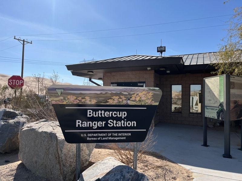
Photographed by Adam Margolis, February 1, 2025
2. Sand Sea Marker
Credits. This page was last revised on February 19, 2025. It was originally submitted on February 18, 2025, by Adam Margolis of Mission Viejo, California. This page has been viewed 189 times since then and 58 times this year. Photos: 1, 2. submitted on February 18, 2025, by Adam Margolis of Mission Viejo, California. • J. Makali Bruton was the editor who published this page.
Editor’s want-list for this marker. Closeup photo of the marker. • Can you help?
