
Shackelfords near Saluda in Middlesex County, Virginia — The American South (Mid-Atlantic)
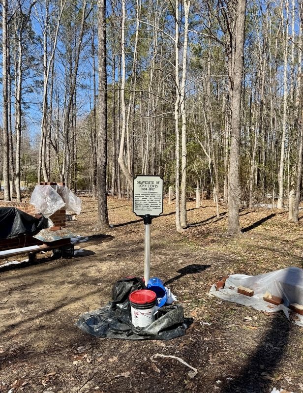
Gravesite of John Lewis
1594-1657

Photographed by Brandon D Cross
1. Gravesite of John Lewis Marker
Erected 2024.
Topics. This historical marker is listed in these topic lists: Cemeteries & Burial Sites • Colonial Era • Immigration • Settlements & Settlers. A significant historical year for this entry is 1594.
Location. 37° 29.594′ N, 76° 39.142′ W. Marker is near Saluda, Virginia, in Middlesex County. It is in Shackelfords. It is on Poropotank Drive half a mile south of Buena Vista Road (Virginia Route 14), on the right when traveling south. Touch for map. Marker is at or near this postal address: 565 Poropotank Drive S, Shacklefords VA 23156, United States of America. Touch for directions.

Regionally, this marker is on Virginia’s Middle Peninsula. It is also in the American South, specifically in the Upper South, in the Tidewater, in the Chesapeake Bay Region, and on the Eastern Seaboard. Globally, it is in the North Atlantic Region, North America, the Western Hemisphere,
this page online
Other nearby markers. At least 8 other markers are within 7 miles of this marker, measured as the crow flies: Poropotank Creek (approx. half a mile away); King and Queen County / Gloucester County (approx. half a mile away); The Indentured Servants' Plot (approx. half a mile away); Gloucester Hall (approx. 1.7 miles away); Poplar Spring Church (approx. 3.3 miles away); Marlfield (approx. 4.2 miles away); a different marker also named King and Queen County / Gloucester County (approx. 4½ miles away); Bethel Baptist Church (approx. 6.2 miles away). Touch for a list and map of all markers in Saluda.
Another marker is no longer nearby. Poplar Spring Church (was approx. 3.3 miles away but has been replaced with another marker now near it).
Also see . . .
1. John “The Immigrant” Lewis. (Submitted on February 27, 2025, by Brandon D Cross of Flagler Beach, Florida.)
2. Dedication of Grave Marker for Founder John Lewis (pdf).
Photographed by Brandon D Cross
2. Gravesite of John Lewis Marker
Photographed by Brandon D Cross
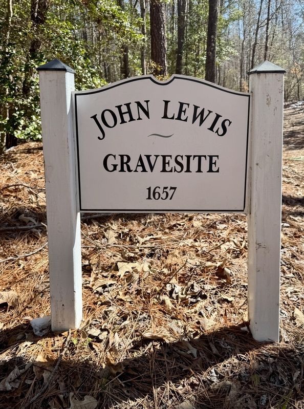
3. John Lewis Gravesite 1657 Sign
Credits. This page was last revised on February 28, 2025. It was originally submitted on February 27, 2025, by Brandon D Cross of Flagler Beach, Florida. This page has been viewed 638 times since then and 156 times this year. Photos: 1, 2, 3. submitted on February 27, 2025, by Brandon D Cross of Flagler Beach, Florida. • Bernard Fisher was the editor who published this page.
