
Jenkins in Newport News, Virginia — The American South (Mid-Atlantic)
Young’s Mill
Magruder’s First Peninsula Defensive Line
| — | 1862 Peninsula Campaign | — |
Photographed by Bill Coughlin, August 11, 2008
1. Young’s Mill Marker
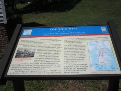
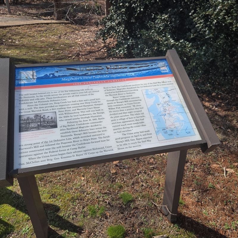
The mill located behind you is one of the few remaining tide mills on the Peninsula. In the woods across the private road to your left are several redoubts and rifle pits. These fortifications are all that remain of the Confederate 1st Peninsula Defensive Line.
Since the Colonial era, Deep Creek has had a dam and a pond here with a mill. The dam provided an important crossing over Deep Creek for the Great Warwick Road, a dirt roadway that connected Hampton, Newport News Point, and Warwick Court House with Williamsburg. This mill was built in the 1820s by local landowners, the Youngs, who owned nearby Denbigh Plantation.
Following the June 10, 1861, Battle of Big Bethel, Confederate Commander John Bankhead Magruder decided to establish three defensive lines across the Peninsula. Young’s Mill became the western strong point of the 1st Defensive Line, which stretched eastward to Harwood’s Mill and followed the Poquoson River to Ship’s Point. The fortifications constructed near the mill became the Confederate forward base for operations against the Federal forces at Camp Butler.
When the Union forces began their
this page online
Keyes’ troops moved through the Confederate entrenchments at Young’s Mill encountering little resistance, as Union Private Wilbur Fisk recounted, “We drove the enemy from a position they had fortified and that night occupied the place ourselves. Te rebels left quite a village of huts or barracks, and from appearances, they had enjoyed much more comfortable quarters during the winter than we had ourselves.”
The Union army had made good progress on April 4, and from Young’s Mill, Gen. Keyes expected to be able to reach the Half-Way House on the morrow.
(captions)
“Vermont Boys Taking Possession of Rebel Fortifications and Barracks at Young’s Mill,” sketch by Larkin Mead. Courtesy of Vermont Historical Society
Confederate Defenses on the Lower Peninsula.
Erected by Virginia Civil War Trails.
Topics and series.
Photographed by Mike McKeown, February 28, 2025
2. Young’s Mill marker, which has weathered significantly
Location. 37° 6.367′ N, 76° 30.837′ W. Marker has been reported damaged. Marker is in Newport News, Virginia. It is in Jenkins. It is at the intersection of Old Grist Mill Lane and Warwick Blvd (U.S. 60), on the right when traveling west on Old Grist Mill Lane. The marker stands at Young's Mill Historic Site. Touch for map. Marker is at or near this postal address: 13055 Warwick Blvd, Newport News VA 23602, United States of America. Touch for directions.

Regionally, this marker is on Virginia’s Peninsula, in Hampton Roads, in Coastal Virginia, and in the Hampton Roads Metropolitan Area. It is also in the American South, specifically in the Upper South, in the Tidewater, and on the Eastern Seaboard. Globally, it is in the North Atlantic Region, North America, the Western Hemisphere, the Western World, and the Anglosphere. Historically, it finds itself in what was once the territory
Photographed by Bill Coughlin, August 11, 2008
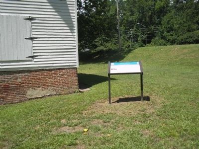
3. Young’s Mill Marker (original location)
Other nearby markers. At least 8 other markers are within 2 miles of this location, measured as the crow flies: Mathews Mill (here, next to this marker); a different marker also named Young’s Mill (here, next to this marker); a different marker also named Young’s Mill (here, next to this marker); First Peninsula Defense Line (a few steps from this marker); Providence Mennonite Church (approx. 0.2 miles away); Denbigh Parish (approx. ¼ mile away); Church Bell (approx. 1.1 miles away); Two USCT Heroes (approx. 1.1 miles away). Touch for a list and map of all markers in Newport News.
Also see . . .
1. The Peninsula Campaign. (Submitted on August 17, 2008, by Bill Coughlin of Woodland Park, New Jersey.)
2. Tidewater Virginia, The 1862 Peninsula Campaign. Civil War Traveler. (Submitted on August 17, 2008, by Bill Coughlin of Woodland Park, New Jersey.)
Photographed by Bill Coughlin, August 11, 2008
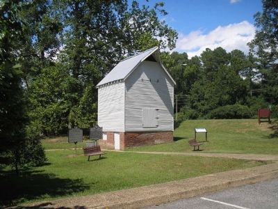
4. Young's Mill Historic Site markers (original location)
There are three markers, all entitled Young's Mill.
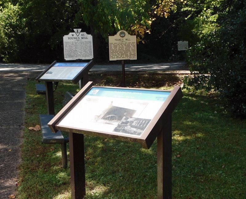
Photographed by Bradley Owen, October 17, 2021
5. Markers have been relocated.
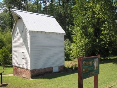
Photographed by Bill Coughlin, August 11, 2008
6. Young’s Mill
The area around Young's Mill was the site of a Confederate campground in 1861.
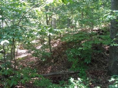
Photographed by Bill Coughlin, August 11, 2008
7. Confederate 1st Peninsula Defensive Line
These earthworks, located in the woods across the street from the mill, were part of the First Defensive Line built on the Peninsula. They were abandoned on April 4, 1862 as the Federals advanced up the Peninsula.
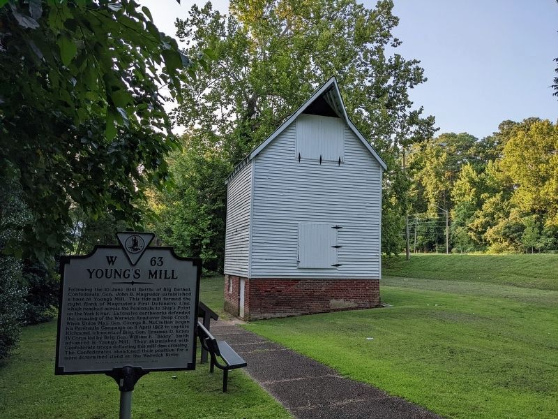
Photographed by Mark P Brock-Cancellieri, August 3, 2022
8. Young’s Mill Marker
The Civil Wars Trails marker is not in the originally depicted location, but it is moved to near the bench.
Credits. This page was last revised on March 6, 2025. It was originally submitted on August 17, 2008, by Bill Coughlin of Woodland Park, New Jersey. This page has been viewed 3,086 times since then and 51 times this year. Last updated on February 28, 2025, by Mike McKeown of Baltimore, Maryland. Photos: 1. submitted on August 17, 2008, by Bill Coughlin of Woodland Park, New Jersey. 2. submitted on February 28, 2025, by Mike McKeown of Baltimore, Maryland. 3, 4. submitted on August 17, 2008, by Bill Coughlin of Woodland Park, New Jersey. 5. submitted on October 31, 2021, by Bradley Owen of Morgantown, West Virginia. 6, 7. submitted on August 17, 2008, by Bill Coughlin of Woodland Park, New Jersey. 8. submitted on July 22, 2024, by Mark P. Brock-Cancellieri of Baltimore, Maryland. • Devry Becker Jones was the editor who published this page.
