Crystal City in Arlington in Arlington County, Virginia — The American South (Mid-Atlantic)
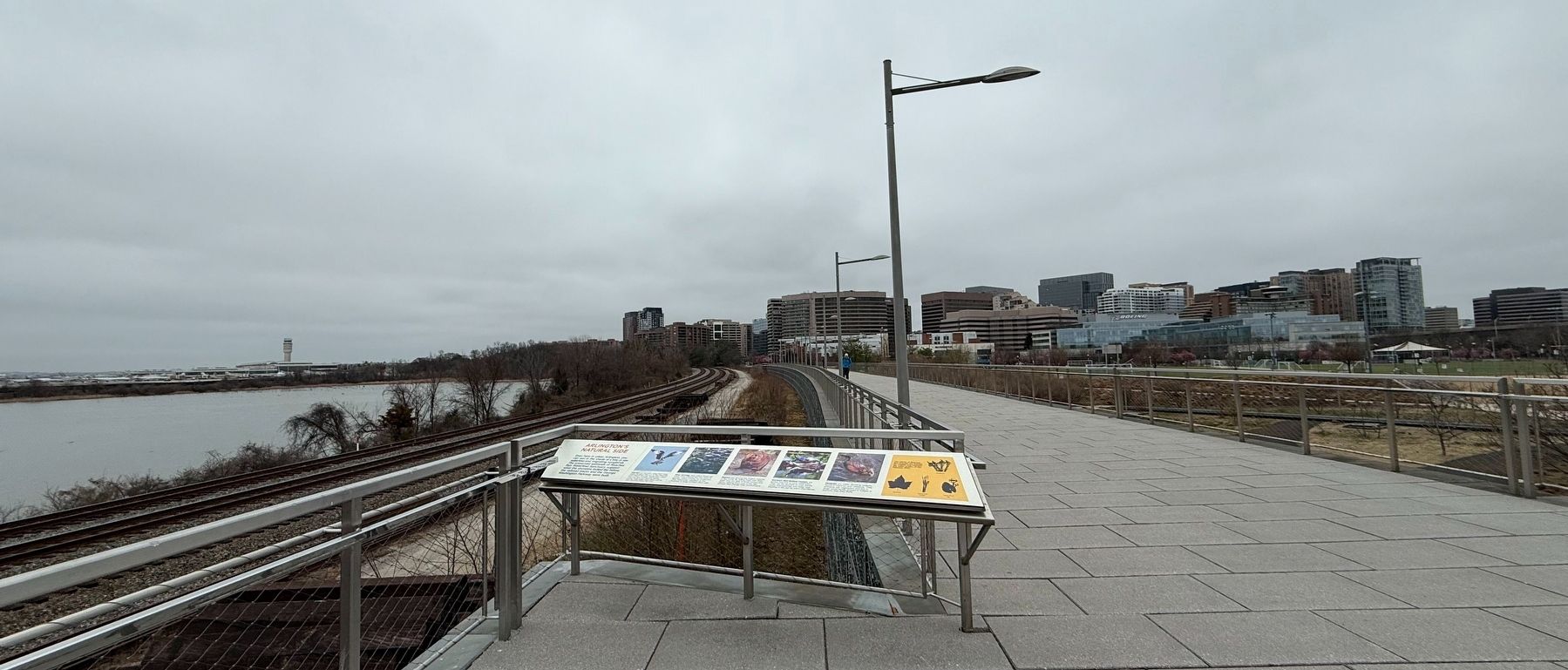
Arlington's Natural Side

Even here in urban Arlington, you can rest in the shade of a tree or see waterfowl and migrating songbirds. The preserved wetlands of Roaches Run Waterfowl Sanctuary suggest what the shoreline looked like before the railroad tracks and the George Washington Parkway were built.
Ospreys can be seen using their large talons to pluck fish out of the Potomac from March through September, when they are here nesting and raising young. Their large stick nests can be seen perched along the river.
River Herrings (also called Shad) are small, silver-colored fish that swim in groups, called schools, for protection. They historically migrated up the Potomac in large numbers each year.
Beavers are among the largest rodents in the world. By felling trees with their teeth they are able to build homes and dams, making them one of the few animals that change their environment.
Northern Red-Bellied Cooters are turtles that live in local waterways. They can be spotted on river banks, rocky outcroppings and fallen logs basking in the sun to warm themselves.
Muskrats are water dwelling rodents found in marshes and wetlands. They primarily eat vegetation and live in large social family groups in lodges or burrows that they build.
The plants of Roaches Run provide the habitat for wildlife and improve the water quality of the Potomac River.
Erected by Arlington
this page online
Topics. This historical marker is listed in these topic lists: Environment • Natural Features • Railroads & Streetcars • Roads & Vehicles.
Location. 38° 51.97′ N, 77° 2.769′ W. Marker is in Arlington, Virginia, in Arlington County. It is in Crystal City. It can be reached from Long Bridge Drive north of 6th Street South, on the right when traveling north. Touch for map. Marker is in this post office area: Arlington VA 22202, United States of America. Touch for directions.

Regionally, this marker is in the Washington Metropolitan Area and in Northern Virginia. It is also in the American South, specifically in the Upper South, in the Mid-Atlantic, and on the Eastern Seaboard. Globally, it is in the North Atlantic Region, North America, the Western Hemisphere, the Western World, and the Anglosphere. Historically, it finds itself in what was once the territory of the Mississippian Culture, one of the original Thirteen Colonies, one of the Confederate States of America, and the Antebellum South.
Other nearby markers. At least 8 other markers are
Other markers no longer nearby. From Brownfield to Playing Fields (was within shouting distance of this marker but has been replaced with another marker now near it); Long Bridge Park: A Community Space (was about 700 feet away, measured in a direct line but has been replaced with another marker now near it); a different marker also named A Historic Junction (was approx. 0.2 miles away but has been replaced with another marker now near it).
Additional commentary.
1. About this marker
This sign serves as a historical marker because it shares how the history of human activity has affected the land of Arlington County along the Potomac River.
— Submitted March 13, 2025, by Devry Becker Jones of Washington, District of Columbia.
Credits. This page was last revised on March 13, 2025. It was originally submitted on March 13, 2025, by Devry Becker Jones of Washington, District of Columbia. This page has been viewed 129 times since then and 20 times this year. Photos: 1, 2. submitted on March 13, 2025, by Devry Becker Jones of Washington, District of Columbia.
