San Miguel de Cozumel in Cozumel, Quintana Roo, Mexico — The Yucatan Peninsula (The Southeast)
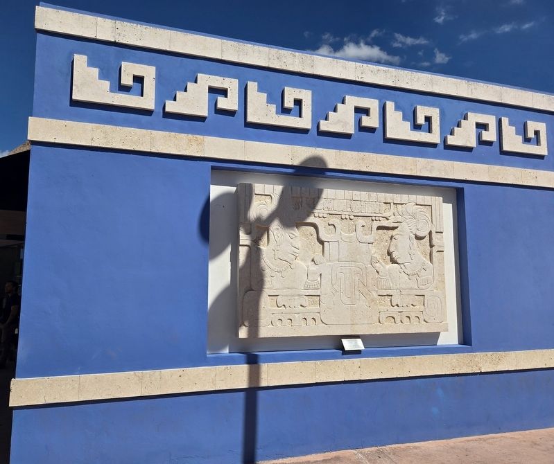
Throne 1, Yokib, Piedras Negras, Guatemala
⎯⎯⎯
Trono 1, Yokib, Piedras Negras, Guatemala
Photographed by Bradley Owen, March 19, 2025
1. Throne 1, Yokib, Piedras Negras, Guatemala / Trono 1, Yokib, Piedras Negras, Guatemala Marker
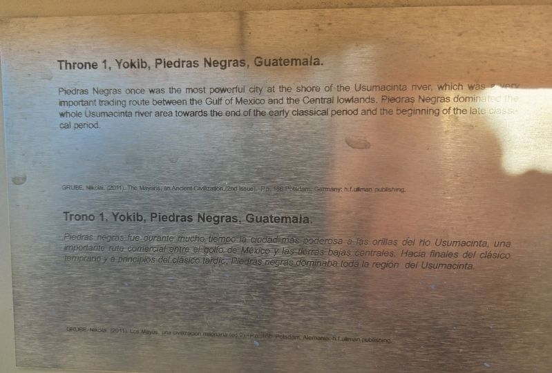
Piedras Negras once was the most powerful city at the shore of the Usumacinta river, which was a very important trading route between the Gulf of Mexico and the Central lowlands. Piedras Negras dominated the whole Usumacinta river area towards the end of the early classical period and the beginning of the late classical period.
GRUBE, Nikolai. (2011). The Mayans, an Ancient Civilization. (2nd issue). P.p. 166 Potsdam, Germany: h.f. ullman publishing.
Piedras negras fue durante mucho tiempo la ciudad más poderosa a los orillos del rio Usumacinta, una importante ruta comercial entre el golfo de México y las tierras bajas centrales. Hacia finales del clásico temprano y a principios del clásico tardío, Piedras negras dominaba toda la region del Usumacinta.
GRUBE, Nikolai. (2011). Los Mayas, una civilización milenária. (ed. 2). P.p. 166 Potsdam, Alemania: h.f. ullman publishing.
Topics. This historical marker is listed in these topic lists: Anthropology & Archaeology • Indigenous Peoples and Communities • Industry & Commerce • Waterways & Vessels.
Location. 20° 28.726′ N,
this page online

Regionally, this marker is in the Mexican Maya Heartland and on the Yucatán Peninsula. Globally, it is on the Caribbean Sea, in North America, in Mesoamerica, in a Gulf of Mexico state, and in the Western Hemisphere. Historically, it finds itself in what was once New Spain and also a Spanish colony.
Other nearby markers. At least 8 other markers are within walking distance of this marker: The Temple of the Cross / El templo de la Cruz (here, next to this marker); Kimi, God of Death / Kimi, Dios de la muerte (a few steps from this marker); K'uk'ulkan, Feathered Serpent / K'uk'ulkan, Serpiente emplumada (a few steps from this marker); Chak Mo'ol (a few steps from this marker); Noblemen with sacred ties and tobacco baskets / Nobles con lazos sagrados y cestas de tabaco
Photographed by Bradley Owen, March 19, 2025
2. Throne 1, Yokib, Piedras Negras, Guatemala / Trono 1, Yokib, Piedras Negras, Guatemala Marker
Credits. This page was last revised on March 24, 2025. It was originally submitted on March 24, 2025, by Bradley Owen of Morgantown, West Virginia. This page has been viewed 160 times since then and 11 times this year. Photos: 1, 2. submitted on March 24, 2025, by Bradley Owen of Morgantown, West Virginia.
