Norwichtown in Southeastern Region, Connecticut — The American Northeast (New England)
Gravesite of Boston Trowtrow, Norwich's "Black Governor"
Photographed by Conrad Ward, October 20, 2024
1. Gravesite of Boston Trowtrow, Norwich's "Black Governor" Marker
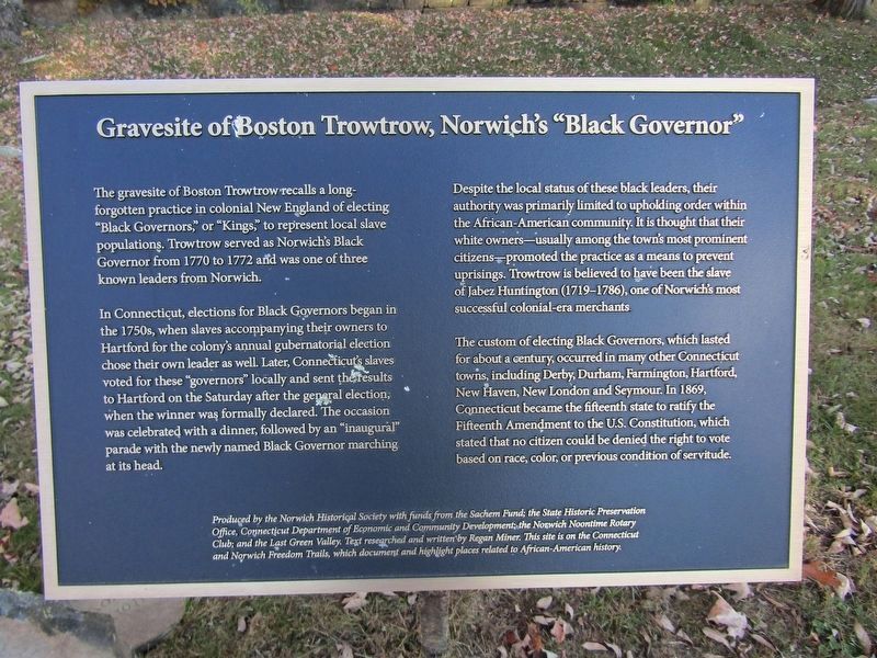
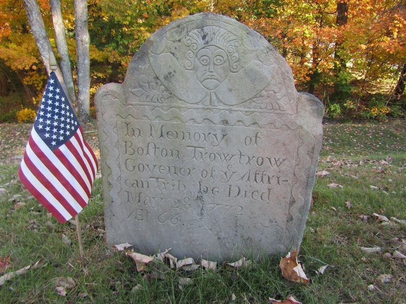
The gravesite of Boston Trowtrow recalls a long- forgotten practice in colonial New England of electing "Black Governors," or "Kings," to represent local slave populations. Trowtrow served as Norwich's Black Governor from 1770 to 1772 and was one of three known leaders from Norwich.
In Connecticut, elections for Black Governors began in the 1750s, when slaves accompanying their owners to Hartford for the colony's annual gubernatorial election chose their own leader as well. Later, Connecticut's slaves voted for these "governors" locally and sent the results to Hartford on the Saturday after the general election, when the winner was formally declared. The occasion was celebrated with a dinner, followed by an "inaugural" parade with the newly named Black Governor marching at its head.
Despite the local status of these black leaders, their authority was primarily limited to upholding order within the African-American community. It is thought that their white owners—usually among the town's most prominent citizens—promoted the practice as a means to prevent uprisings. Trowtrow is believed to have been
this page online
The custom of electing Black Governors, which lasted for about a century, occurred in many other Connecticut towns, including Derby, Durham, Farmington, Hartford, New Haven, New London and Seymour. In 1869, Connecticut became the fifteenth state to ratify the Fifteenth Amendment to the U.S. Constitution, which stated that no citizen could be denied the right to vote based on race, color, or previous condition of servitude.
Produced by the Norwich Historical Society with funds from the Sachem Fund; the State Historic Preservation Office, Connecticut Department of Economic and Community Development, the Norwich Noontime Rotary Club; and the Last Green Valley. Text researched and written by Regan Miner. This site is on the Connecticut and Norwich Freedom Trails, which document and highlight places related to African-American history.
Erected by Norwich Historical Society.
Topics. This historical marker is listed in these topic lists: African Americans • Cemeteries & Burial Sites • Civil Rights •
Photographed by Conrad Ward, October 20, 2024
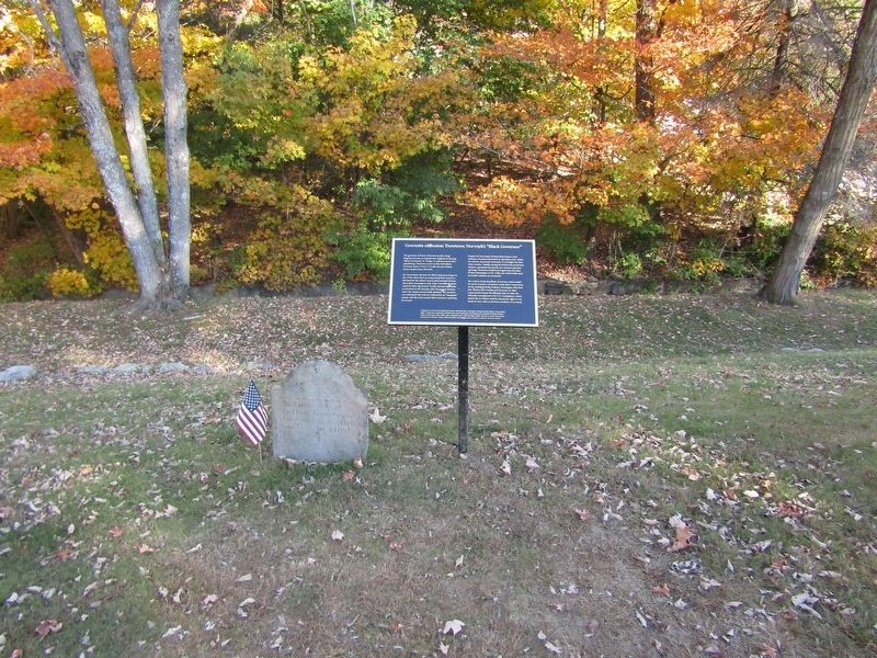
2. Gravesite of Boston Trowtrow
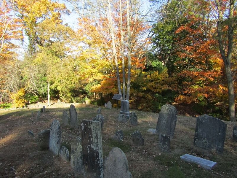
Location. 41° 32.899′ N, 72° 5.523′ W. Marker is in Norwich in Southeastern Region, Connecticut. It is in Norwichtown. It can be reached from Old Cemetery Lane. Located in the Old Norwichtown Burial Ground. Touch for map. Marker is in this post office area: Norwich CT 06360, United States of America. Touch for directions.

Regionally, this marker is on the Connecticut Shoreline, in Greater New London and in the Thames River Valley. It is also in the American Northeast, in New England, and on the Eastern Seaboard. Globally, it is in the North Atlantic Region, North America, the Western Hemisphere, the Western World, and the Anglosphere. Historically, it finds itself in what was once New London County and also one of the original Thirteen Colonies.
Other nearby markers. At least 8 other markers are within walking distance of this marker: Once upon a time in Norwich... (within shouting distance of this marker); Tomb of Samuel Huntington (within shouting distance of this marker); Samuel Huntington (about 300 feet away, measured in a direct line); En Memoire de Vingt Compagnons de Lafayette
Photographed by Conrad Ward, October 20, 2024
3. Gravestone of Boston Trowtrow
Photographed by Conrad Ward, October 20, 2024
4. Gravesite of Boston Trowtrow
Credits. This page was last revised on May 19, 2026. It was originally submitted on March 29, 2025, by Conrad Ward of Guilford, Connecticut. This page has been viewed 166 times since then and 43 times this year. Photos: 1, 2, 3, 4. submitted on March 29, 2025, by Conrad Ward of Guilford, Connecticut. • Andrew Ruppenstein was the editor who published this page.
