
Coolidge in Pinal County, Arizona — The American Mountains (Southwest)
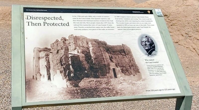
Disrespected, Then Protected
| — | Casa Grande Ruins National Monument | — |
Photographed by Ian Lefkowitz, August 31, 2022
1. Disrespected, Then Protected Marker
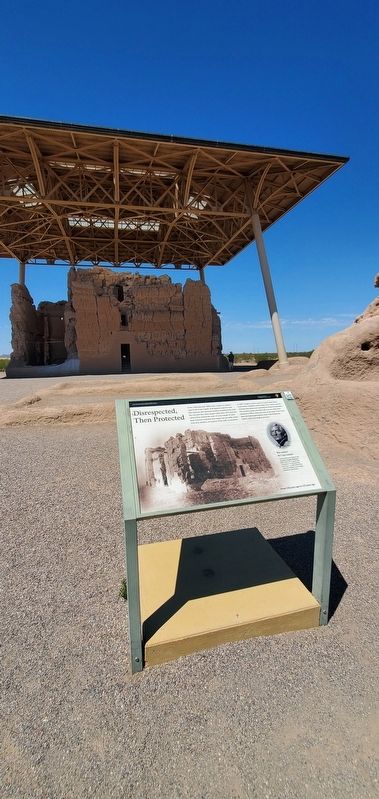
In 1889 Congress voted to protect Casa Grande Ruins from further vandalism and looting. They voted to pay for clearing away debris and repairing the eroded foundation. The wooden beams and metal rods you see today were installed in 1891 to brace up some of the walls. Three years later, the federal government made Casa Grande the nation's first archaeological preserve.
Who named the Casa Grande?
A Jesuit missionary, explorer, and mapmaker, Eusebio Francisco Kino (1645-1711), was the first European to see and document these ruins in 1694. Father Kino called the building 'Casa Grande,' Spanish for 'great house.'
Erected by National Park Service. (Marker Number 10.)
Topics. This historical marker is listed in these
this page online
Location. 32° 59.65′ N, 111° 32.217′ W. Marker is in Coolidge, Arizona, in Pinal County. It is on West Ruins Drive. Touch for map. Marker is in this post office area: Coolidge AZ 85128, United States of America. Touch for directions.

Regionally, this marker is in Arizona’s Sonoran Desert, in the Phoenix Metropolitan Area, in the San Carlos Apache Nation, and specifically in the Tohono O’odham Nation. It is also in the American Southwest. Globally, it is in North America, the Western Hemisphere, the Western World, and the Anglosphere. Historically, it finds itself in what was once New Spain and also Mexico’s Alta California.
Other nearby markers. At least 8 other markers are within 9 miles of this marker, measured as the crow flies: Why Build the Casa Grande? (within shouting distance of this marker); Stephen Tyng Mather (about 300 feet away, measured in a direct line); Those Who Are Gone (approx. 0.9 miles away); The Coolidge Woman's Club (approx. 1½ miles away); Ghost Town of Adamsville
Photographed by Ian Lefkowitz, August 31, 2022
2. Disrespected, Then Protected Marker
Photographed by Ian Lefkowitz, August 31, 2022
3. Disrespected, Then Protected Marker
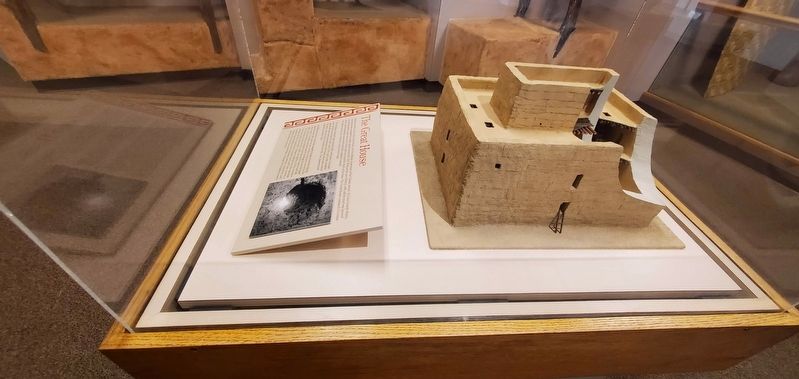
A reconstruction of the great house is viewable in the park's visitor center.
Credits. This page was last revised on April 1, 2025. It was originally submitted on March 29, 2025, by Ian Lefkowitz of New York, New York. This page has been viewed 170 times since then and 31 times this year. Photos: 1. submitted on March 29, 2025, by Ian Lefkowitz of New York, New York. 2, 3. submitted on March 30, 2025, by Ian Lefkowitz of New York, New York. • Andrew Ruppenstein was the editor who published this page.
