Menands in Albany County, New York — The American Northeast (Mid-Atlantic)
Schuyler Flatts Cultural Park
Photographed by Steve Stoessel, March 22, 2025
1. Schuyler Flatts Cultural Park Marker
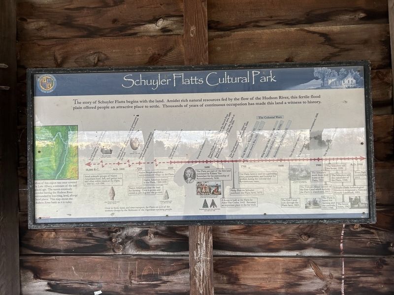
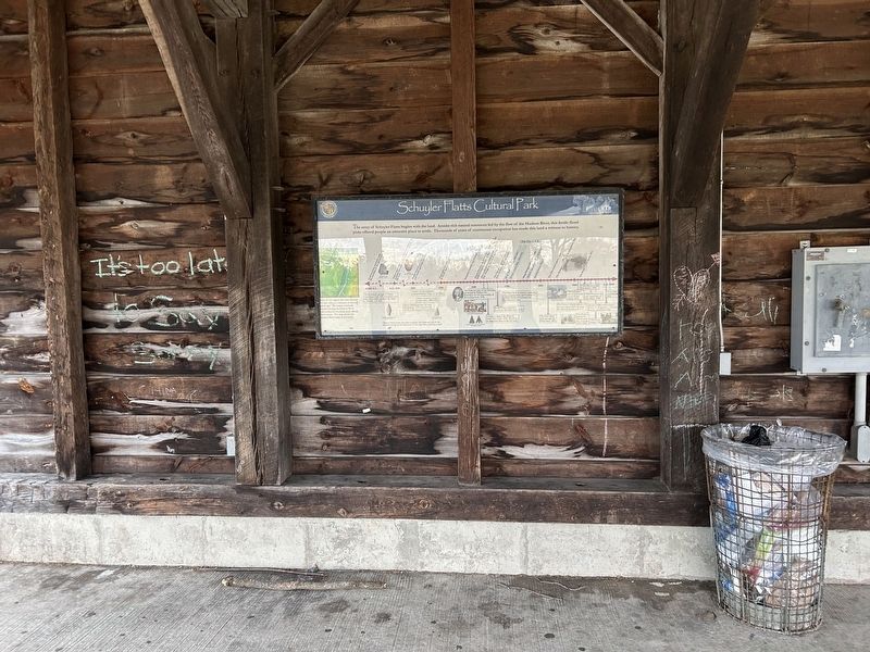
The story of Schuyler Flatts begins with the land. Amidst rich natural resources fed by the flow of the Hudson River, this fertile flood plain offered people an attractive place to settle. Thousands of years of continuous occupation has made this land a witness to history.
Most of this region was once covered by Lake Albany, a remnant of the last glacial age. The waters eventually eceded leaving the Hudson River surrounded by low-lying, level, alluvial lood plains. This map shows the Hudson River basin as it is today.
Close to food, water, and river transport, the Flatts are part of the territory chosen by the Mohicans of the Algonkian-speaking people.
10,000 B.C. Land becomes habitable with the receding glacial lake.
- Small nomadic groups of Native Americans hunt, fish, and gather nuts and other edible plants at the Flatts, c. 3000 B.C.-A.D. 1000.
· Birch bark vessel, 6000 B.C. - 1500 B.C.
· Orient Fishtail projectile point, 1100 - 750 B.C.
1000 B.C. Native Americans occupy more permanent seasonal settlements and begin to cultivate the land.
- Native Americans clear the land for farming.
this page online
1200 A.D. Native Americans establish year-round agricultural villages
- Native People establish a semipermanent village on the Flatts.
- Native American burials at the Flatts, 1300-1400.
· Pottery 1000 B.C.-A.D. 1600
· Levanna projectile point A.D. 1000-A.D. 1450
1500 Christopher Columbus arrives in America, 1492
- ca. 1570 Iroquois Confederacy formed
1600 - Henry Hudson exploring for the Dutch East India Company arrives in the Albany area, 1609.
- First settlement established by the Dutch at Fort Orange at the site of Albany, 1624.
- The Flatts are part of the first land purchased by Kiliaen Van Rensselaer for his patroonship of Rensselaerswyck, 1630.
- A house is built at the Flatts by Arent Van Curler, 1642. Becomes an important place in the fur trade.
The Dutch surrender their claim to New Netherland to the English 1664
- Philip Pieterse Schuyler purchases the Flatts farm, 1672.
The Colonial Wars 1689-1783
- King William’s War 1689-1697.
1700
- Queen Anne’s War 1702-1713
- The Flatts farm is used as a gathering place, encampment,
Photographed by Steve Stoessel, March 22, 2025
2. Schuyler Flatts Cultural Park Marker
- King George’s War 1744-1748
- French and Indian War 1754-1763
- Revolutionary War 1775-1783
1800
- Erie Canal cuts through Schuyler Flatts, 1823
- Erie Canal opens, 1825
- The Enlarged Erie Canal is completed 1848
1900
- The Schuylers move from their home at the Flatts, 1910.
- The Cohoes-Albany section of the Erie Canal which includes the Flatts is abandoned, 1917.
- The Barge Canal opens, 1917
- The Flatts is leased for farming and for carnivals, 1910-1948.
- The Schuylers sell the house, 1929.
- The Schuylers sell the remainder of the Flatts, 1948.
- The house burns, 1962.
- Schuyler Flatts Archeological District is designated a National Historic Landmark, 1993.
A.D. 2000 Town Park established 2002.
Erected by Town of Colonie.
Topics. This historical marker is listed in these topic lists: Anthropology & Archaeology • Colonial Era • Indigenous Peoples and Communities • Settlements & Settlers.
Location. 42° 42.397′ N, 73° 42.629′ W. Marker is in Menands,
Photographed by Steve Stoessel, March 22, 2025
3. Schuyler Flatts Cultural Park Marker
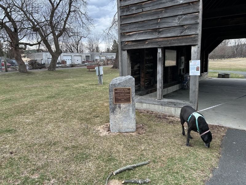
The marker is visible under the shelter just above Gracie.

Regionally, this marker is in Upstate New York, in the Capital District, and in the Albany Metropolitan Area. It is also in the American Northeast and in the Mid-Atlantic. Globally, it is in North America, the Western Hemisphere, the Western World, and the Anglosphere. Historically, it finds itself in what was once New Netherland and also one of the original Thirteen Colonies.
Other nearby markers. At least 8 other markers are within walking distance of this marker: Schuyler Flatts (here, next to this marker); Schuyler Flatts in the French & Indian War (a few steps from this marker); The Old Schuyler Burying Ground (about 400 feet away, measured in a direct line); Meneely Bell From St. Brigid's Church (about 500 feet away); The Colonial & Revolutionary Wars (about 500 feet away); Arent van Curler & Fr. Isaac Jogues at the Flatts in 1643 (about 600 feet away); a different marker also named Schuyler Flatts (about 700 feet away); The Native People (approx. 0.2 miles away). Touch for a list and map of all markers in Menands.
Credits. This page was last revised on April 7, 2025. It was originally submitted on April 6, 2025, by Steve Stoessel of Niskayuna, New York. This page has been viewed 193 times since then and 35 times this year. Photos: 1. submitted on April 6, 2025, by Steve Stoessel of Niskayuna, New York. 2, 3. submitted on April 7, 2025, by Steve Stoessel of Niskayuna, New York.
