USCG Training Center Yorktown in York County, Virginia — The American South (Mid-Atlantic)
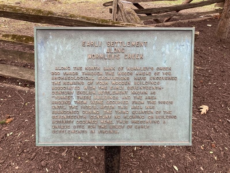
Early Settlement Along Wormley's Creek
Photographed by Evan Dwyer, March 8, 2025
1. Early Settlement Along Wormley's Creek Marker
Topics. This historical marker is listed in these topic lists: Anthropology & Archaeology • Colonial Era • Settlements & Settlers.
Location. 37° 12.945′ N, 76° 28.745′ W. Marker is in Yorktown, Virginia, in York County. It is in USCG Training Center Yorktown. It is on Perimeter Road 0.4 miles east of Nelson Street & Hamilton/Perimeter Road, on the right. The marker is on post at USCG Training Center Yorktown, across from the Perimeter Road Baseball Field backstop. This is a secured installation and the general public cannot access
this page online

Regionally, this marker is on Virginia’s Peninsula, in Coastal Virginia, and in the Hampton Roads Metropolitan Area. It is also in the American South, specifically in the Upper South, in the Tidewater, and on the Eastern Seaboard. Globally, it is in the North Atlantic Region, North America, the Western Hemisphere, the Western World, and the Anglosphere. Historically, it finds itself in what was once the territory of the Mississippian Culture, one of the original Thirteen Colonies, one of the Confederate States of America, and the Antebellum South.
Other nearby markers. At least 8 other markers are within walking distance of this marker: Major William Gooch Of This Parish (a few steps from this marker); Archaeological Excavations (a few steps from this marker); The Seventeenth-Century Churches of York Parish (within shouting distance of this marker); Yorke Village (within shouting distance of this marker); Civil War Trenches (about 400 feet away, measured

Photographed by Evan Dwyer, March 8, 2025
2. Early Settlement Along Wormley's Creek Marker
The settlement area referenced in the marker is in the woods shown.

Photographed by Evan Dwyer, March 8, 2025
3. William Gooch Grave
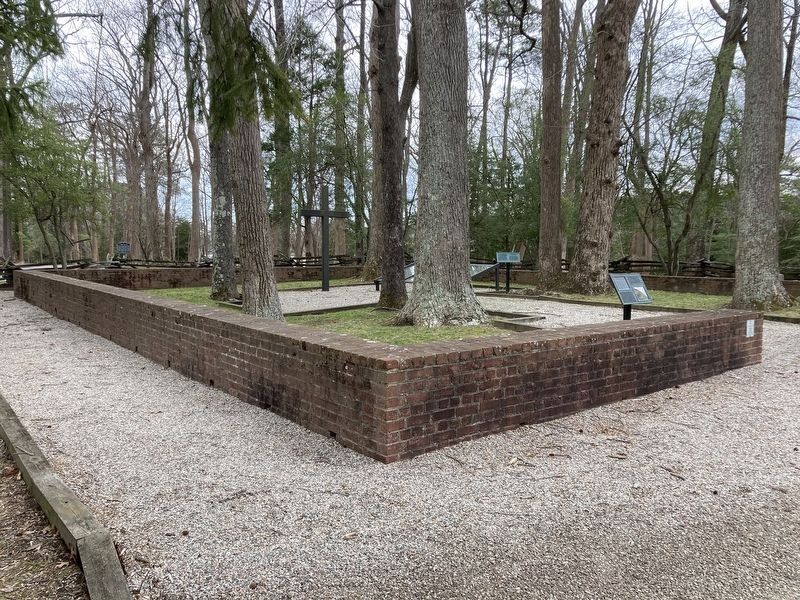
The marker is to the right off camera, beyond the brick wall. The wall itself represents the foundation of the Second Parish Church, archaeologically identified and replicated by the 20th century brick structure.

Photographed by Evan Dwyer, March 8, 2025
4. Virginia Historic Landmark Sign
On the 20th Century brick foundation outline.

Photographed by Evan Dwyer, March 8, 2025
5. Early Settlement Along Wormley's Creek Marker
The marker is in the background beyond the grave of William Gooch and its protective cover.
Photographed by Evan Dwyer, March 8, 2025
6. Second Parish Church Outline
The brick wall constructed over the foundations of the Second York Parish Church is part of the York Village archaeological site along Wormley Creek referenced by the marker.
Credits. This page was last revised on April 20, 2025. It was originally submitted on April 17, 2025, by Evan Dwyer of Richmond, Virginia. This page has been viewed 188 times since then and 44 times this year. Photos: 1, 2, 3, 4, 5, 6. submitted on April 17, 2025, by Evan Dwyer of Richmond, Virginia. • Andrew Ruppenstein was the editor who published this page.
