
Chester in Chesterfield County, Virginia — The American South (Mid-Atlantic)
Appomattox Overlook
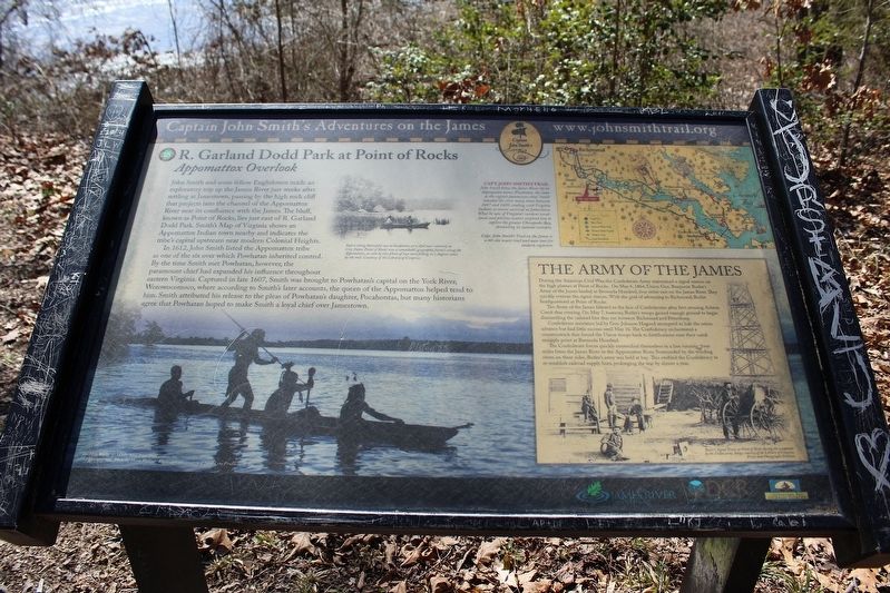
R. Garland Dodd Park at Point of Rocks
| — | Captain John Smith's Adventures on the James | — |
Photographed by Evan Dwyer, March 1, 2025
1. Appomattox Overlook Marker
In 1612, John Smith listed the Appomattox tribe as one of the six over which Powhatan inherited control. By the time Smith met Powhatan, however, the paramount chief had expanded his influence throughout eastern Virginia. Captured in late 1607, Smith was brought to Powhatan's capital on the York River, Werowocomoco, where according to Smith's later accounts, the queen of the Appomattox helped tend to him. Smith attributed his release to the please of Powhatan's daughter, Pocahontas, but many historians agree that Powhatan hoped to make Smith a loyal chief over Jamestown.
(sidebar)
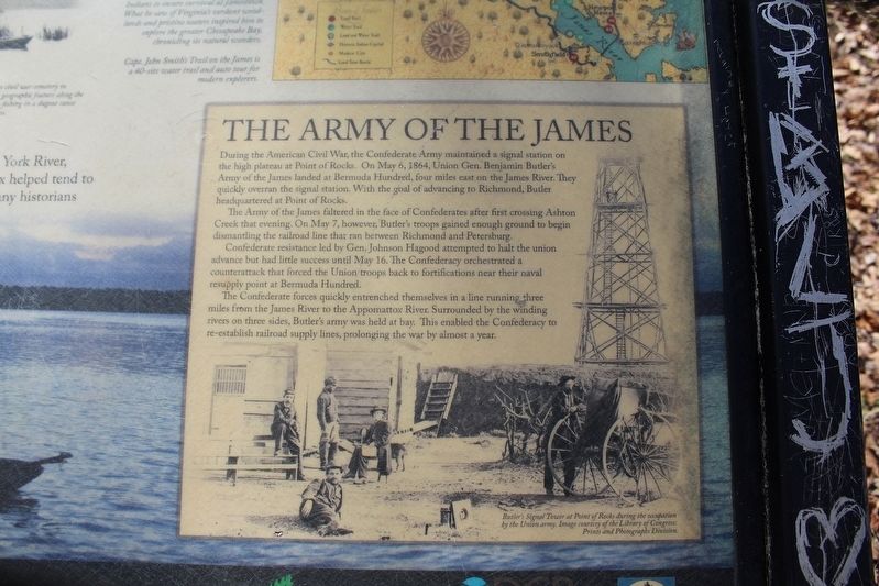
The Army of the James
During the American Civil War, the Confederate Army maintained
this page online
The Army of the James faltered in the face of Confederates after first crossing Ashton Creek that evening. On May 7, however, Butler's troops gained enough ground to begin dismantling the railroad line that ran between Richmond and Petersburg.
Confederate resistance led by Gen. Johnson Hagood attempted to halt the Union advance but had little success until May 16. The Confederacy orchestrated a counterattack that forced the Union troops back to fortifications near their naval resupply point at Bermuda Hundred.
The Confederate forces quickly entrenched themselves in a line running three miles from the James River to the Appomattox River. Surrounded by the winding rivers on three sides, Butler's army was held at bay. This enabled the Confederacy to re-establish railroad supply lines, prolonging the war by almost a year.
Erected by Captain
Photographed by Evan Dwyer, March 1, 2025
2. Appomattox Overlook Marker
Closeup of Signal Tower photo
Topics. This historical marker is listed in these topic lists: Colonial Era • Exploration • Indigenous Peoples and Communities • Settlements & Settlers • War, US Civil. A significant historical year for this entry is 1612.
Location. 37° 19.026′ N, 77° 21.213′ W. Marker is in Chester, Virginia, in Chesterfield County. It can be reached from Enon Church Road east of Ramblewood Drive, on the left when traveling west. Marker is in R. Garland Dodd Park, at the southeast extreme of the walking trail system. Touch for map. Marker is at or near this postal address: 201 Enon Church Rd, Chester VA 23836, United States of America. Touch for directions.

Regionally, this marker is in Virginia’s Piedmont, in Central Virginia, and in the Richmond Metropolitan Area. It is also in the American South, specifically in the Upper South, and on the Eastern Seaboard. Globally, it is in the North Atlantic Region, North America, the Western Hemisphere, the Western World, and the
Photographed by Evan Dwyer, March 1, 2025
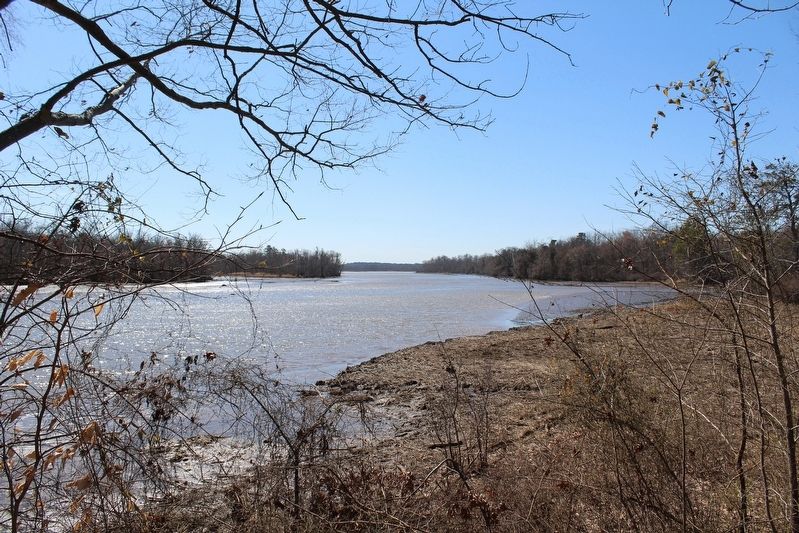
3. View from Appomattox Overlook Marker
Other nearby markers. At least 8 other markers are within walking distance of this marker: Federal Reconnaissance on Ashton Creek (a few steps from this marker); Opening Actions of the Bermuda Hundred Campaign (approx. ¼ mile away); Grant's Virginia Campaigns (approx. ¼ mile away); The Bermuda Hundred Campaign-Federal Leaders (approx. 0.3 miles away); Confederate Leaders (approx. 0.3 miles away); Point of Rocks (approx. 0.3 miles away); Welcome to R. Garland Dodd Park at Point of Rocks (approx. 0.3 miles away); The Bermuda Hundred Campaign Begins (approx. 0.3 miles away).

1864
4. Bermuda Hundred, Va. Photographer at Butler's signal tower
Library of Congress (LC-DIG-cwpb-01829)
Credits. This page was last revised on April 25, 2025. It was originally submitted on April 25, 2025, by Evan Dwyer of Richmond, Virginia. This page has been viewed 163 times since then and 23 times this year. Photos: 1, 2, 3. submitted on April 25, 2025, by Evan Dwyer of Richmond, Virginia. 4. submitted on April 25, 2025. • Bernard Fisher was the editor who published this page.
