
Ridgeway in Fort Erie in Niagara Region, Ontario — Central Canada (North America)
Irelands Farmers
Photographed by Tim Boyd, April 23, 2025
1. Irelands Farmers Marker
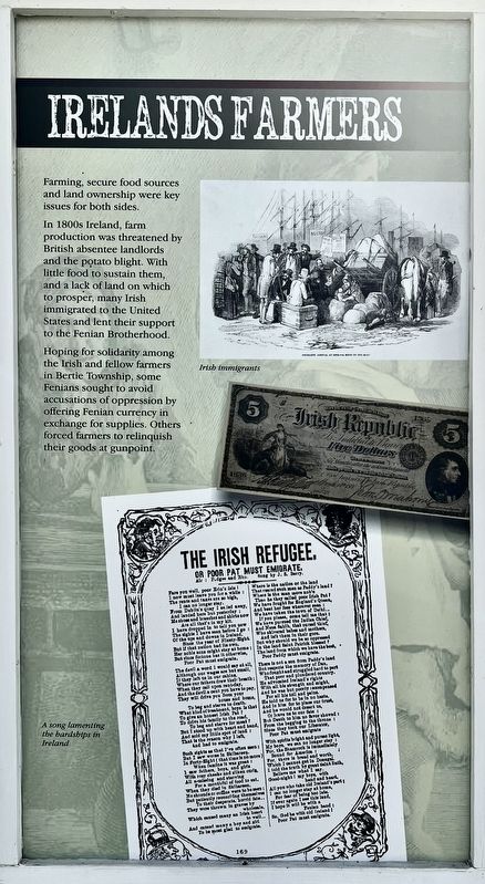
Hoping for solidarity among the Irish and fellow farmers in Bertie Township, some Fenians sought to avoid accusations of oppression by offering Fenian currency in exchange for supplies. Others forced farmers to relinquish their goods at gunpoint.
Topics. This historical marker is listed in these topic lists: Agriculture • Immigration • Wars, Non-US.
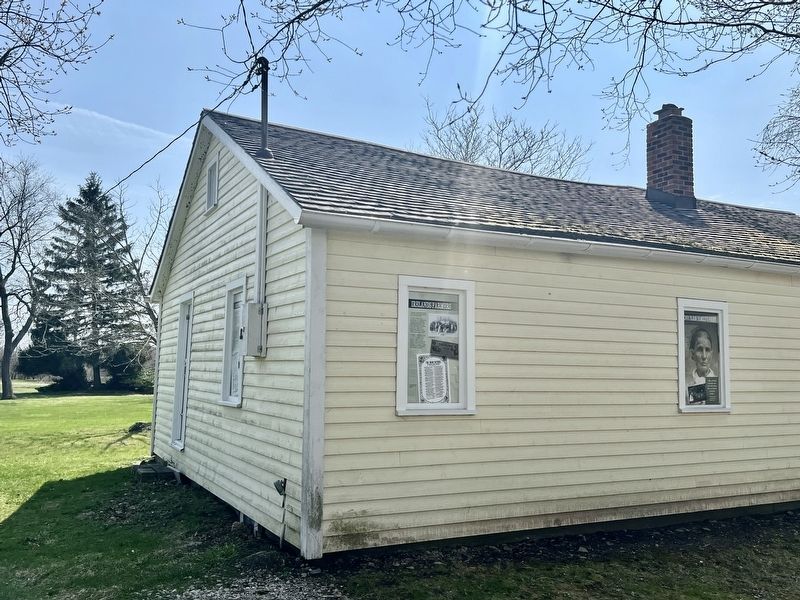
Location. 42° 54.276′ N, 79° 2.465′ W. Marker is in Fort Erie, Ontario, in Niagara Region. It is in Ridgeway. It is on Garrison Road 0.3 kilometers east of Ridge Road North, on the left when traveling east. The marker is on the property of the Ridgeway Battlefield National Historic Site, on the south side of the Teal House. Touch for map. Marker is at or near this postal address: 3388 Garrison Road, Fort Erie ON L0S 1N0, Canada. Touch for directions.

Regionally, this marker is on Ontario’s Golden Horseshoe and in Niagara Canada. It is also in Central Canada. Globally, it is in North America, on the Great Lakes, in the Western Hemisphere, in the Western World, and in the Anglosphere. Historically, it finds itself in what was once a British colony, the Viceroyalty of New France, the Haudenosaunee (Iroquois) Confederacy, and Rupert’s Land.
Other nearby markers. At least 8 other markers are within walking distance of this marker: Farm Innovations (here, next to this marker); One Farm Family’s Fight (here, next to this marker); Berties Farmers
this page online
Photographed by Tim Boyd, April 23, 2025
2. Irelands Farmers Marker
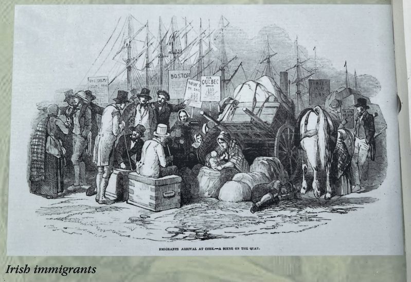
3. Irelands Farmers marker photo and caption detail
Photographed by Tim Boyd, April 23, 2025
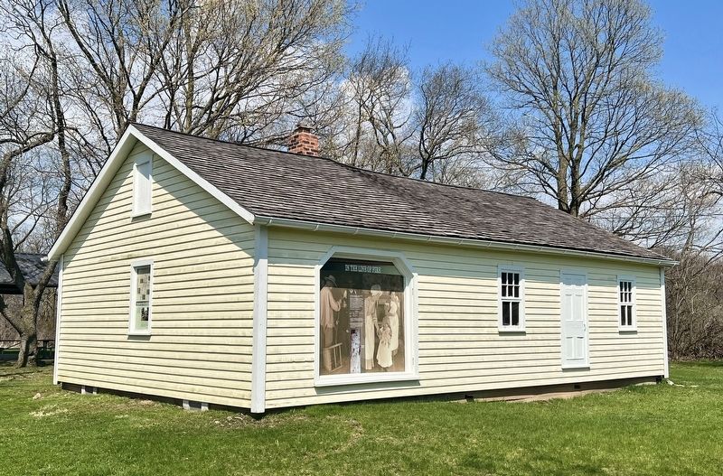
4. The Teal House, looking south-east
Credits. This page was last revised on April 30, 2025. It was originally submitted on April 30, 2025, by Tim Boyd of Hamilton, Ontario. This page has been viewed 110 times since then and 7 times this year. Photos: 1, 2, 3, 4. submitted on April 30, 2025, by Tim Boyd of Hamilton, Ontario. • Andrew Ruppenstein was the editor who published this page.
