
Fruita in Wayne County, Utah — The American Mountains (Southwest)
Stories in Stone
Photographed by James Hulse, April 2, 2025
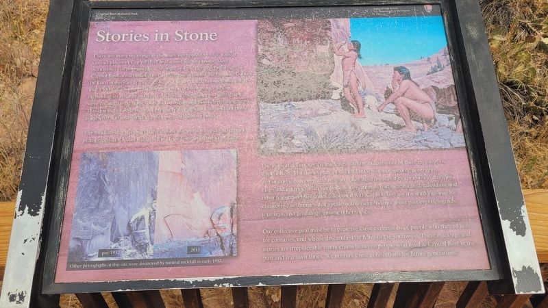
1. Stories in Stone Marker
The modern-day tribes with the closest association to petroglyphs and pictographs at Capitol Reef are the Hopi Tribe and Pueblo of Zuni.
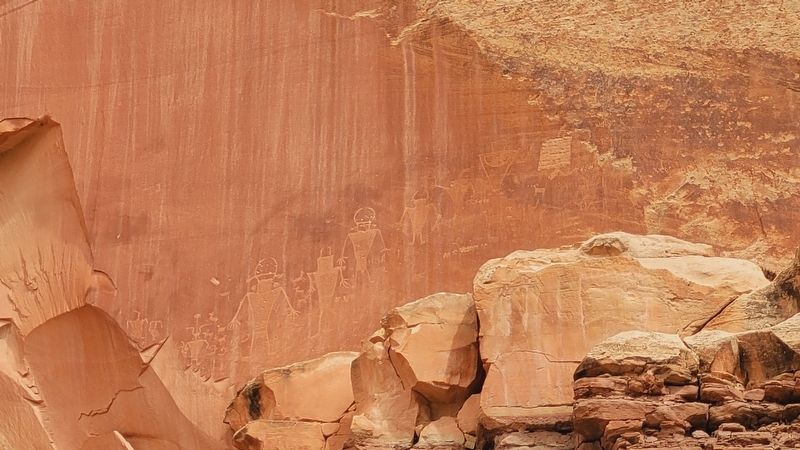
The Hopi and Zuni say the markings confirm the presence of their ancestors in Capitol Reef. The stories present detailed information regarding geography, demography, economy, and religion. They describe activities common to daily life, maps and journeys, clan symbols, deities, animals that were hunted, calendars, and other features.
this page online
Our collective goal must be to preserve these expressions of people who thrived here for centuries, and whose descendants still live in the Southwest. These markings and stories are irreplaceable connections between people who lived at Capitol Reef in the past and our own times. We nurture these connections for future generatioris.
Captions
(Photo #1) Other petroglyphs at this site were destroyed by natural rockfall in early 1952.
Left pre-1952 and Right 2013
(Photo #2) Artwork courtesy of Joseph Venus
Erected by Capitol Reef National Park, National ParkService, U.S. Department of the Interior.
Topics. This historical marker is listed in these topic lists: Anthropology & Archaeology • Indigenous Peoples and Communities • Parks & Recreational Areas. A significant historical year for this entry is 1300.
Location. 38° 17.316′ N, 111° 14.534′ W. Marker is in Fruita, Utah, in Wayne County. It is on State Road 24 1.1 miles east
Photographed by James Hulse, April 2, 2025
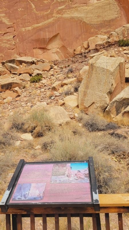
2. The view of the main panel of petroglyphs and Marker

Regionally, this marker is in Canyon Country. It is also in the American Mountain West, in Colorado Plateau, and at the Four Corners. Globally, it is in North America, the Western Hemisphere, the Western World, and the Anglosphere. Historically, it finds itself in what was once New Spain and also Mexico’s Alta California.

Other nearby markers. At least 8 other markers are within walking distance of this marker: Signs of a Thriving People (within shouting distance of this marker); Holt Orchard (about 300 feet away, measured in a direct line); Farming the Fremont (about 700 feet away); Silent Sentinels (approx. 0.3 miles away); It's Alive! (approx. 0.3 miles away); A Community's Cornerstone (approx. 0.3 miles away); The Giving Groves (approx. 0.3 miles away); Living Off the Land (approx. 0.4 miles away). Touch for a list and map of all markers in Fruita.
Photographed by James Hulse, April 2, 2025
3. Closeup of the main panel of petroglyphs
Photographed by James Hulse, April 2, 2025
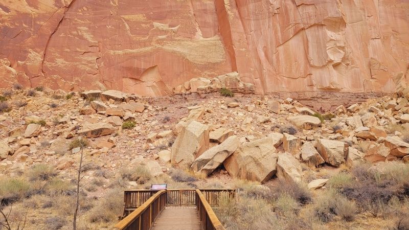
4. The view of the Stories in Stone Marker along the boardwalk
Credits. This page was last revised on May 2, 2025. It was originally submitted on May 1, 2025, by James Hulse of Medina, Texas. This page has been viewed 1,056 times since then and 20 times this year. Photos: 1, 2, 3, 4. submitted on May 2, 2025, by James Hulse of Medina, Texas.
