
Pinson in Madison County, Tennessee — The American South (East South Central)
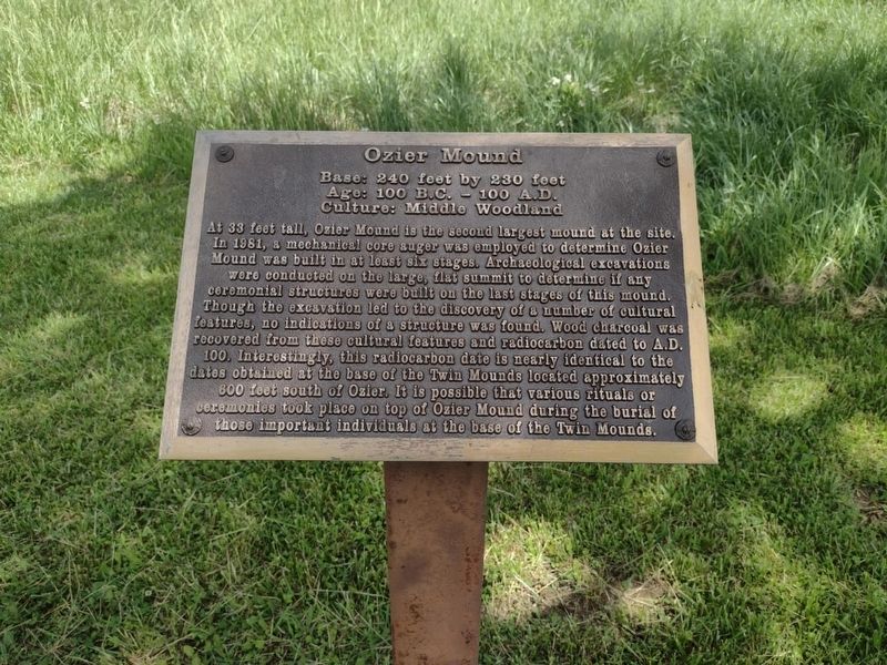
Ozier Mound
Photographed by David Austin
1. Ozier Mound Marker
Metal Sign
Age: 100 B.C. - 100 A.D.
Culture: Middle Woodland
AT 33 feet tall, Ozier Mound is the second largest mound at the site. In 1981, a mechanical core auger was employed to determine the Ozier Mound was built in at least six stages. Archaeological excavations were conducted on the large, flat summit to determine if any ceremonial structures were built on the last stages of this mound. Though the excavation led to the discovery of a number of cultural features, no indications of a structure was found. Wood charcoal was recovered from these cultural features and radiocarbon dated to A.D. 100. Interestingly, this radiocarbon date is nearly identical to the dates obtained at the base of the Twin Mounds located approximately 600 feet south of Ozier. It is possible that various rituals or ceremonies took place on top of Ozier Mound during the burial of those important individuals at the base of the Twin Mounds.
Erected by Tennessee State Parks.
Topics. This historical marker is listed in these topic lists: Anthropology & Archaeology • Cemeteries & Burial Sites • Indigenous Peoples and Communities. A significant historical year for this entry is 100 BCE.
Location. 35° 29.936′ N,
this page online

Regionally, this marker is in West Tennessee. It is also in the American South, specifically in the Deep South, and specifically in the Upper South. Globally, it is in North America, the Western Hemisphere, the Western World, and the Anglosphere. Historically, it finds itself in what was once the territory of the Mississippian Culture, one of the Confederate States of America, and the Antebellum South.
Other nearby markers. At least 8 other markers are within walking distance of this marker: A different marker also named Ozier Mound (a few steps from this marker); Mound 12 (approx. 0.6 miles away); Mound 14 Sector (approx. 0.7 miles away); Latter Mississippian Presence (approx. 0.7 miles away); Pinson Mounds in the Mississippi Delta
Photographed by David Austin
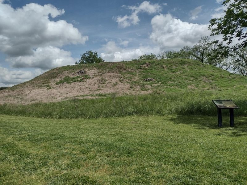
2. Ozier Mound Marker
Regarding Ozier Mound. Date is 100 BC to 100 AD
Photographed by David Austin
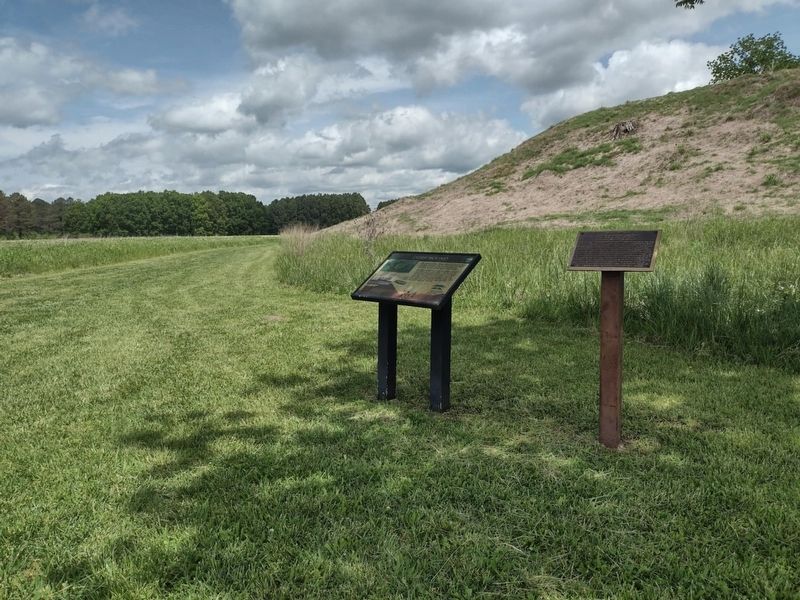
3. Ozier Mound Marker
Credits. This page was last revised on May 7, 2025. It was originally submitted on May 1, 2025, by David Austin of Scotts Hill, Tennessee. This page has been viewed 112 times since then and 13 times this year. Photos: 1, 2, 3. submitted on May 1, 2025, by David Austin of Scotts Hill, Tennessee. • Devry Becker Jones was the editor who published this page.
