Lewisburg in Greenbrier County, West Virginia — The American South (Appalachia)
Center Green
Photographed by Mark Parker, April 29, 2025
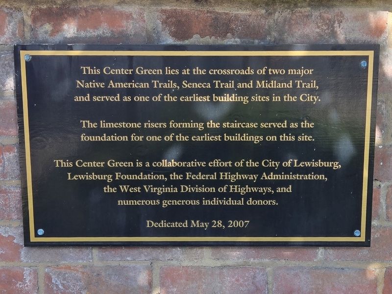
1. Center Green Marker
This Center Green lies at the crossroads of two major Native American Trails, Seneca Trail and Midland Trail, and served as one of the earliest building sites in the City.
The limestone risers forming the staircase served as the foundation for one of the earliest buildings on this site.
Erected 2007 by City of Lewisburg, Lewisburg Foundation, Federal Highway Administration, West Virginia Division of Highways.
Topics. This historical marker is listed in these topic lists: Anthropology & Archaeology • Indigenous Peoples and Communities • Roads & Vehicles.
Location. 37° 48.1′ N, 80° 26.734′ W. Marker is in Lewisburg, West Virginia, in Greenbrier County. It is at the intersection of Jefferson Street South (U.S. 219) and Washington Street West (U.S. 60), on the right when traveling south on Jefferson Street South. The marker is at waist level on the brick wall facing Jefferson Street South near the northeast corner of the park. Touch for map. Marker is at or near this postal address: 851 Jefferson St S, Lewisburg WV 24901, United States of America. Touch for directions.

Regionally,
this page online
Other nearby markers. At least 8 other markers are within walking distance of this marker: Josh Polan and the Riverbed Nursery Team (within shouting distance of this marker); Colonial Army Rendezvous (about 400 feet away, measured in a direct line); Lewis Theatre (about 400 feet away); Battle of Lewisburg (about 500 feet away); Greenbrier County Courthouse (about 500 feet away); Lewisburg Graded School Bell (about 500 feet away); Tribute to Men of the Mountains (about 600 feet away); Greenbrier County War Memorial (about 700 feet away). Touch for a list and map of all markers in Lewisburg.
Additional keywords. pre-contact history
Photographed by Mark Parker, April 29, 2025
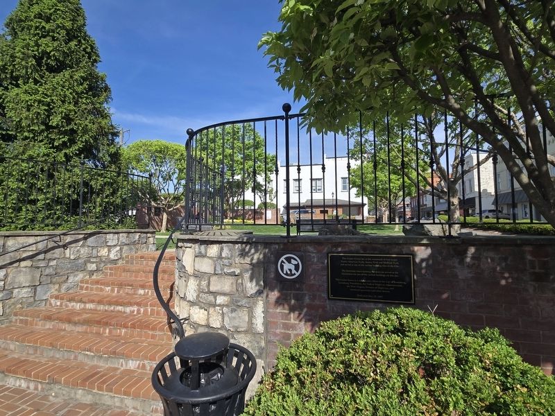
2. Center Green Marker next to the steps entering the park on the Jefferson Street South side
Photographed by Mark Parker, April 29, 2025
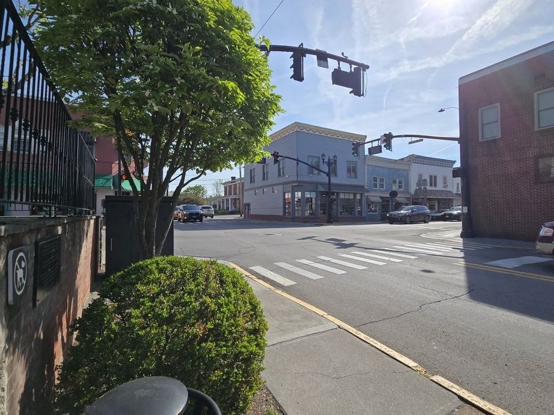
3. Intersection of Jefferson Street (US 219, Seneca Trail) & Washington Street (US 60, Midland Trail)

Photographed by Mark Parker, April 29, 2025
4. Stairs referenced in the marker. Limestone taken from one of the earliest buildings on the site
Credits. This page was last revised on May 7, 2025. It was originally submitted on May 2, 2025, by Mark Parker of Hickory, North Carolina. This page has been viewed 136 times since then and 24 times this year. Photos: 1, 2, 3, 4. submitted on May 2, 2025, by Mark Parker of Hickory, North Carolina. • Devry Becker Jones was the editor who published this page.
