Port Royal in Caroline County, Virginia — The American South (Mid-Atlantic)
Port Royal
Colonial Seaport
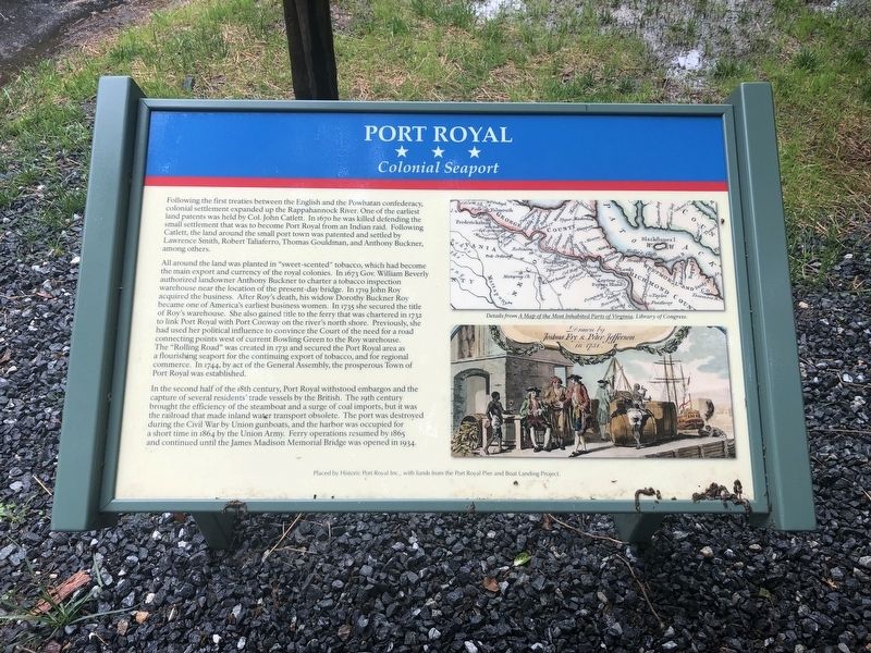
Following the first treaties between the English and the Powhatan confederacy, colonial settlement expanded up the Rappahannock River. One of the earliest land patents was held by Col. John Catlett. In 1670 he was killed defending the small settlement that was to become Port Royal from an Indian raid. Following Catlett, the land around the small port town was patented and settled by Lawrence Smith, Robert Taliaferro, Thomas Gouldman, and Anthony Buckner, among others.
All around the land was planted in "sweet-scented" tobacco, which had become the main export and currency of the royal colonies. In 1673 Gov. William Beverly authorized landowner Anthony Buckner to charter a tobacco inspection warehouse near the location of the present-day bridge. In 1719 John Roy acquired the business. After Roy's death, his widow Dorothy Buckner Roy became one of America's earliest business women. In 1735 she secured the title of Roy's warehouse. She also gained the title to the ferry that was chartered in 1732 to link Port Royal with Port Conway on the river's north shore. Previously, she had used her political influence to convince
this page online
In the second half of the 18th century, Port Royal withstood embargos and the capture of several residents' trade vessels by the British. The 19th century brought the efficiency of the steamboat and a surge of coal imports, but it was the railroad that made inland water transport obsolete. The port was destroyed during the Civil War by Union gunboats, and the harbor was occupied for a short time in 1864 by the Union Army. Ferry operations resumed in 1865 and continued until the James Madison Memorial Bridge was opened in 1934.
Erected by Historic Port Royal Inc.
Topics. This historical marker is listed in these topic lists: Agriculture • Indigenous Peoples and Communities • Settlements & Settlers • Women. A significant historical year for this entry is 1670.
Location. 38° 10.337′ N,
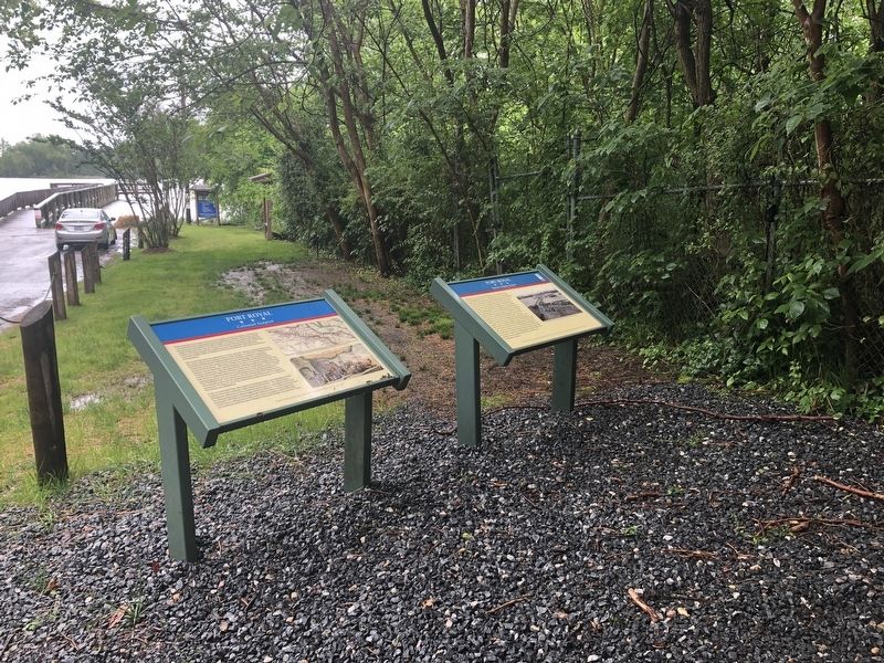

Regionally, this marker is in the Piedmont and in Central Virginia. It is also in the American South, specifically in the Upper South, and on the Eastern Seaboard. Globally, it is in the North Atlantic Region, North America, the Western Hemisphere, the Western World, and the Anglosphere. Historically, it finds itself in what was once the territory of the Mississippian Culture, one of the original Thirteen Colonies, one of the Confederate States of America, and the Antebellum South.
Other nearby markers. At least 8 other markers are within walking distance of this marker: A different marker also named Port Royal (a few steps from this marker); Port Royal Harbor (within shouting distance of this marker); St. Peter's Church (about 400 feet away, measured in a direct line); Dorothy Roy (about 500 feet away); The Earliest Inhabitants: Native Americans (about 600 feet away); The Fox Tavern: A Colonial Landmark (about 700 feet away); a different marker also named Port Royal (approx. 0.2 miles away); The Sacred Lot (approx. ¼ mile away). Touch for a list and map of all markers in Port Royal.
Credits. This page was last revised on May 6, 2025. It was originally submitted on May 12, 2019, by Devry Becker Jones of Washington, District of Columbia. This page has been viewed 1,902 times since then and 159 times this year. Last updated on May 5, 2025, by Carl Gordon Moore Jr. of North East, Maryland. Photos: 1, 2. submitted on May 12, 2019, by Devry Becker Jones of Washington, District of Columbia.
