Newark in Licking County, Ohio — The American Midwest (Great Lakes)
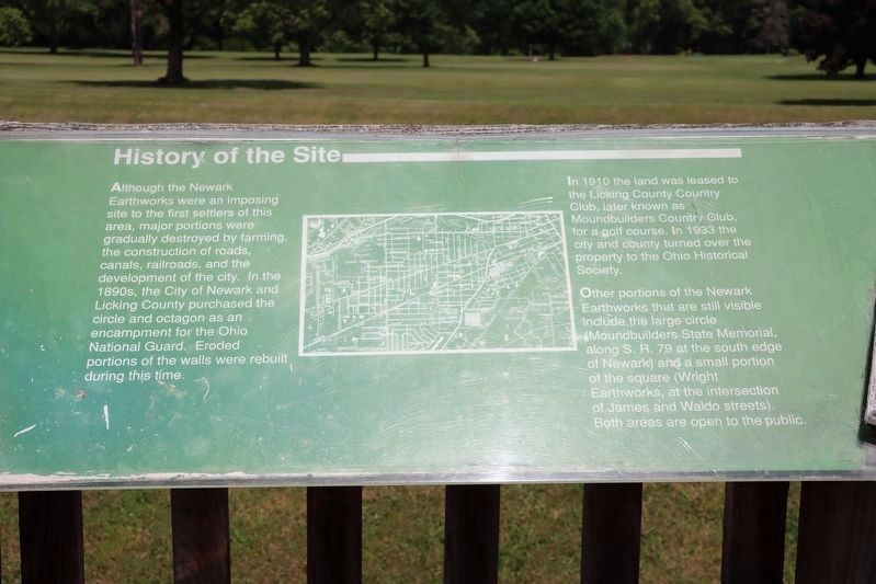
History of the Site
Photographed by Dale K. Benington, June 11, 2022
1. History of the Site Marker
View of the marker situated at the top of the observation platform.
Although the Newark Earthworks were an imposing site to the first settlers of this area, major portions were gradually destroyed by farming, the construction of roads, canals, railroads, and the development of the city. In the 1890s, the City of Newark and Licking County purchased the circle and octagon as an encampment for the Ohio National Guard. Eroded portions of the walls were rebuilt during this time.
In 1910 the land was leased to the Licking County Country Club, later known as Moundbuilders Country Club, for a golf course. In 1933 the city and county turned over the property to the Ohio Historical Society.
Other portions of the Newark Earthworks that are still visible include the large circle (Moundbuilders State Memorial, along S.R. 79 at the south edge of Newark) and a small portion of the square (Wright Earthworks, at the intersection of James and Waldo streets). Both areas are open to the public.
Erected by Ohio Historical Society.
Topics. This historical marker is listed in these topic lists: Anthropology & Archaeology • Indigenous Peoples and Communities • Parks & Recreational Areas. A significant historical year for this entry is 1910.
Location. Marker
this page online
We have been informed that this marker is no longer there and will not be replaced. This page is an archival view of what was.
Regionally, this marker was in the Columbus Metropolitan Area. It was also in the American Midwest, in the Corn Belt, in Appalachia, and specifically in Northern Appalachia. Globally, it was in North America, the Western Hemisphere, the Western World, and the Anglosphere. Historically, it found itself in what was once the Haudenosaunee (Iroquois) Confederacy, the territory of the Mississippian Culture, and the Northwest Territory.

Other nearby markers. At
Photographed by Dale K. Benington, June 11, 2022
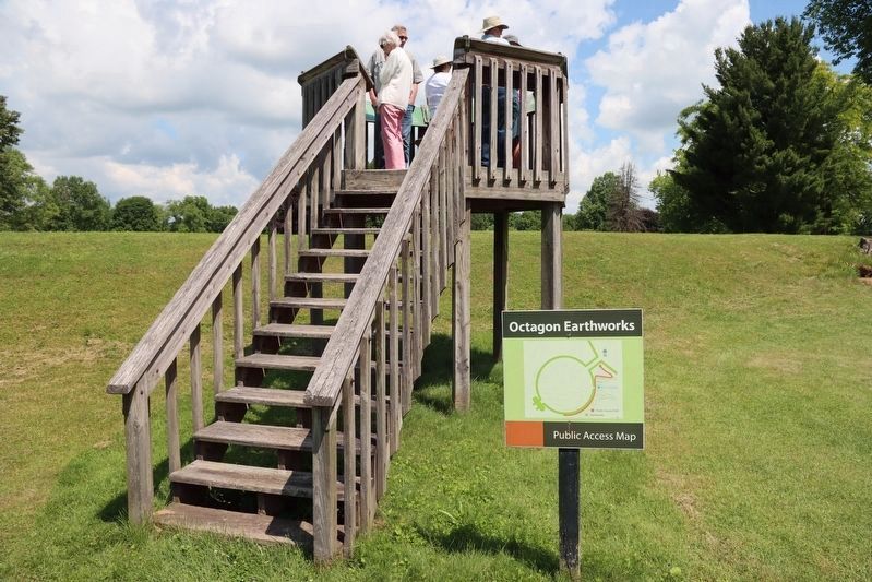
2. History of the Site Marker
View of the observation platform that the marker is situated on. Note the Moundbuilders earthwork that is situated along the base of the observation platform.
Other markers no longer nearby. The Builders (was here, next to this marker but has been permanently removed); The Newark Earthworks (was here, next to this marker but has been permanently removed); The Octagon (was here, next to this marker but has been permanently removed); The Circle (was here, next to this marker but has been permanently removed).
Photographed by Dale K. Benington, June 11, 2022
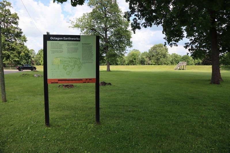
3. History of the Site Marker
View of the Octagon Earthworks marker in the foreground, with a distant view of the observation platform, that this marker is located on, in the background.
Photographed by Dale K. Benington, June 11, 2022
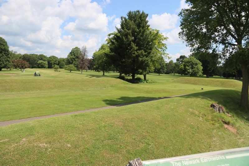
4. History of the Site Marker
View of the landscape, and the Octagon Earthworks, as seen from the top of the observation platform.
Credits. This page was last revised on May 7, 2025. It was originally submitted on June 16, 2022, by Dale K. Benington of Toledo, Ohio. This page has been viewed 315 times since then and 21 times this year. Last updated on May 7, 2025, by Craig Doda of Napoleon, Ohio. Photos: 1, 2, 3, 4. submitted on June 16, 2022, by Dale K. Benington of Toledo, Ohio. • Devry Becker Jones was the editor who published this page.
