
Jericho Lake Park in Aurora in Kane County, Illinois — The American Midwest (Great Lakes)
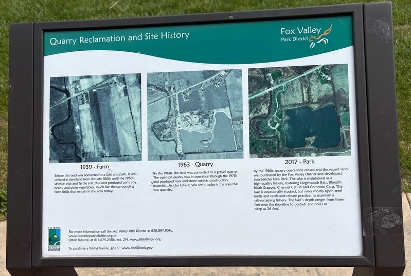
Quarry Reclamation and Site History
Photographed by Sean P. Flynn, May 24, 2025
1. Quarry Reclamation and Site History Marker
1939 - Farm
Before this land was converted to a like and park, it was utilized as farmland from the late 1800s until the 1950s. With its rich and fertile soil, this land produced corn, soy beans, and other vegetables, much like the surrounding farm fields that remain in the area today.
1963 - Quarry
By the 1960s, the land was converted to a gravel quarry. The open pit quarry was in operation through the 1970s and produced rock and stone used as construction materials. Jericho Lake as you see it today is the area that was quarried.
2017 - Park
By the 1980s, quarry operations ceased and the vacant land was purchased by the Fox Valley District and developed into Jericho Lake Park. The lake is maintained as a high-quality fishery, featuring Largemouth Bass, Bluegill. Black Crappie, Channel Catfish and Common Carp. The lake is occasionally stocked, but relies mostly upon creel limits and catch-and-release practices to maintain a self-sustaining fishery. The lake's depth ranges from three feet near the shoreline to pockets and holes as deep as 26 feet.
Erected by Fox Valley Park District.
Topics. This historical
this page online
Location. 41° 44.396′ N, 88° 22.892′ W. Marker is in Aurora, Illinois, in Kane County. It is in Jericho Lake Park. It is on Jericho Road (County Route 24) half a mile west of Orchard Road (County Route 83), on the right when traveling east. The marker is near the open-air pavilion that is just north of Jericho Lake. Touch for map. Marker is at or near this postal address: 39W339 Jericho Rd, Aurora IL 60506, United States of America. Touch for directions.

Regionally, this marker is in Greater Chicago. It is also in the American Midwest. Globally, it is in North America, on the Great Lakes, in the Western Hemisphere, in the Western World, and in the Anglosphere. Historically, it finds itself in what was once the territory of the Mississippian Culture and also the Northwest Territory.
Other nearby markers. At least 8 other markers are within 3 miles of this marker, measured as the crow flies: Watch Us Grow (about 500 feet away, measured in a direct line);
Photographed by Sean P. Flynn, May 24, 2025
2. Quarry Reclamation and Site History Marker
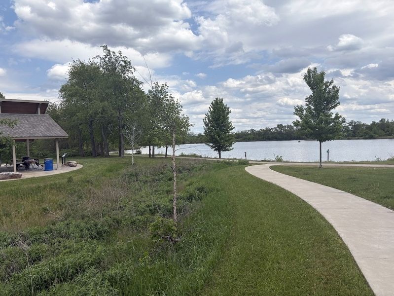
The marker is on the left near the pavilion. Jericho Lake is behind it.
Also see . . . Fox Valley Park District history. (Submitted on May 25, 2025, by Sean P. Flynn of Oak Park, Illinois.)
Photographed by Sean P. Flynn, May 24, 2025
3. Jericho Lake Park
Photographed by Sean P. Flynn, June 28, 2025
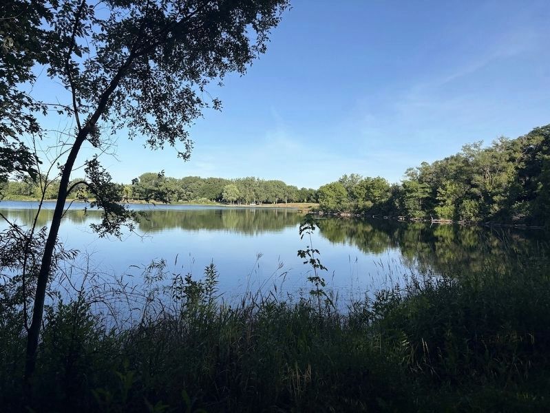
4. Jericho Lake
A view of the lake from opposite the marker.
Credits. This page was last revised on May 4, 2026. It was originally submitted on May 25, 2025, by Sean P. Flynn of Oak Park, Illinois. This page has been viewed 285 times since then and 80 times this year. Photos: 1, 2, 3. submitted on May 25, 2025, by Sean P. Flynn of Oak Park, Illinois. 4. submitted on June 29, 2025, by Sean P. Flynn of Oak Park, Illinois.
