
Chestertown in Kent County, Maryland — The American Northeast (Mid-Atlantic)
Wilmer Park Living Shoreline
| — | Chestertown, Maryland • Founded in 1706 | — |
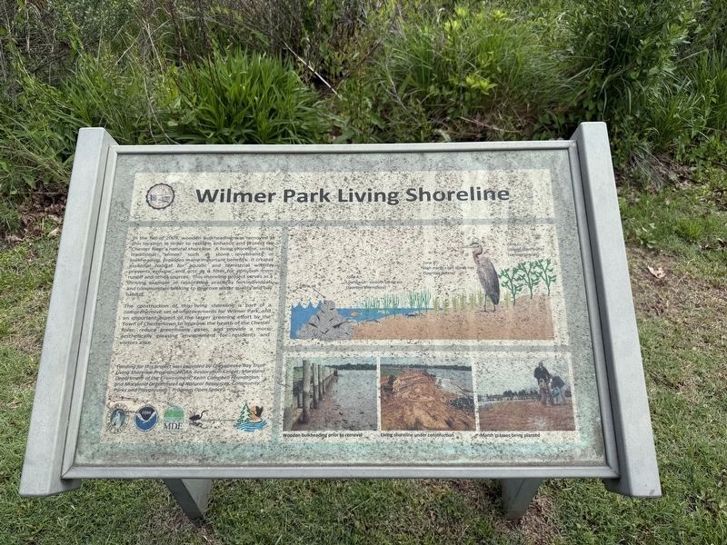
In the fall of 2009, wooden bulkheading was removed at this location in order to restore, enhance and protect the Chester river's natural shoreline. A living shoreline, unlike the traditional "armor" such as stone revetments. It creates essential habitat for aquatic and terrestrial wildlife, prevents erosion, and acts as a filter for pollution from runoff and other sources. This shoreline project serves as a thriving example of restoration practices for individuals and communities seeking to improve water quality and bay habitat.
The construction of this living shoreline is part of a comprehensive set of improvements for Wilmer Park, and an important aspect of the larger greening effort by the Town of Chestertown to improve the health of the Chester River, reduce greenhouse gases, and provide a more aesthetically pleasing environment for residents and visitors alike.
Funding for this project was provided by Chesapeake Bay Trust Living Shoreline Program, NOAA-Restoration Center; Maryland Department of the Environment; Keith Campbell Foundation; and Maryland Department of Natural Resources, Community Parks and Playgrounds
this page online
Erected by Chesapeake Bay Trust; National Oceanic and Atmospheric Administration, U.S. Department of Commerce; Maryland Department of the Environment; The Campbell Foundation.
Topics and series. This historical marker is listed in these topic lists: Environment • Parks & Recreational Areas • Waterways & Vessels. In addition, it is included in the National Oceanic and Atmospheric Administration (NOAA) series list. A significant historical year for this entry is 2009.
Location. 39° 12.261′ N, 76° 3.942′ W. Marker is in Chestertown, Maryland, in Kent County. It is on South Cross Street (Maryland Route 289) south of Cannon Street, on the right when traveling north. Touch for map. Marker is at or near this postal address: 413 S Cross St, Chestertown MD 21620, United States of America. Touch for directions.

Regionally, this marker is on the Eastern Shore. It is also in the American Mid-Atlantic, on the Delmarva Peninsula, in the Tidewater, and in the Chesapeake Bay Region. Globally, it is in the North Atlantic Region, North America, the Western Hemisphere, the Western World, and the Anglosphere.
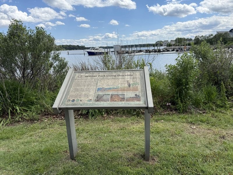
Other nearby markers. At least 8 other markers are within walking distance of this marker: Philip G. Wilmer Park (within shouting distance of this marker); Philip G. Wilmer Park Urban Greening Project (about 500 feet away, measured in a direct line); U.S. Marines Memorial (about 600 feet away); Before There Was a Town (about 700 feet away); We honor them here (approx. 0.2 miles away); About Us (approx. 0.2 miles away); Bateau Ric (approx. 0.2 miles away); Stanley Vansant (approx. 0.2 miles away). Touch for a list and map of all markers in Chestertown.
Credits. This page was last revised on May 26, 2025. It was originally submitted on May 26, 2025, by Devry Becker Jones of Washington, District of Columbia. This page has been viewed 128 times since then and 16 times this year. Photos: 1, 2. submitted on May 26, 2025, by Devry Becker Jones of Washington, District of Columbia.
