
Kaladar in Addington Highlands in Lennox and Addington County, Ontario — Central Canada (North America)
The Addington Road
Photographed by William Fischer, Jr., May 12, 2025
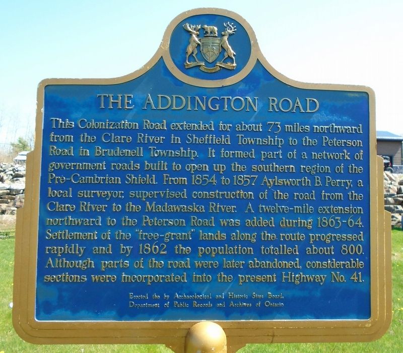
1. The Addington Road Marker
This Colonization Road extended for about 73 miles northward from the Clare River in Sheffield Township to the Peterson Road in Burdenell Township. It formed a network of government roads built to open up the southern region of the Pre-Cambrian Shield. From 1854 to 1857 Aylsworth B. Perry, a local surveyor, supervised construction of the road from the Clare River to the Madawaska River. A twelve-mile extension northward to the Peterson Road was added during 1863-64. Settlement of the "free-grant" lands along the route progressed rapidly and by 1862 the population totalled about 800. Although parts of the road were later abandoned, considerable sections were incorporated into the present Highway 41.
Erected by Archaelogical and Historic Sites Board of Ontario.
Topics and series. This historical marker is listed in these topic lists: Colonial Era • Immigration • Roads & Vehicles • Settlements & Settlers. In addition, it is included in the Canada, Ontario Heritage Trust series list. A significant historical year for this entry is 1854.
Location. 44° 38.912′ N, 77° 7.206′ W. Marker is in Addington Highlands,
this page online

Regionally, this marker is in Eastern Ontario and specifically in Southeastern Ontario. It is also in Central Canada. Globally, it is in North America, on the Great Lakes, in the Western Hemisphere, in the Western World, and in the Anglosphere. Historically, it finds itself in what was once a British colony, the Viceroyalty of New France, the Haudenosaunee (Iroquois) Confederacy, and Rupert’s Land.
Other nearby markers. At least 4 other markers are within 26 kilometers of this marker, measured as the crow flies: In Memoriam to Terry Fox (a few steps from this marker); Arden Families Memorial (approx. 17.5 kilometers away); Kennebec (approx. 17.5 kilometers away); The Hungerford Smallpox Epidemic of 1884 (approx. 24.5 kilometers away).
Photographed by William Fischer, Jr., May 12, 2025
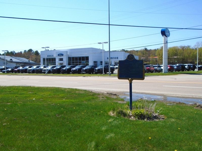
2. The Addington Road Marker
Credits. This page was last revised on May 26, 2025. It was originally submitted on May 26, 2025, by William Fischer, Jr. of Reynoldsburg, Ohio. This page has been viewed 114 times since then and 37 times this year. Photos: 1, 2. submitted on May 26, 2025, by William Fischer, Jr. of Reynoldsburg, Ohio.
