Prescott in Nevada County, Arkansas — The American South (West South Central)
The Natural History of Prairie D'Ane

Photographed by Mike McKeown, June 6, 2025
1. The Natural History of Piairie D'Anne Marker
Lt. Col. Adolph Dengler of the 43rd Illinois Volunteer Infantry and a veteran of the battle on the prairie described this remarkable landscape eloquently in a report after the expedition:
"Like an oasis ties this beautiful prairie in midst of dark forests and almost impassable swamps, a relief for the eye of the traveler, who has for many days hardly seen anything but rocks crowned by dark pines or the gloomy cypress swamp. The prairie, elevated above the surrounding country, rises gradually toward its center."
This program was made possible in part by a grant from Arkansas Heritage, a division of the Arkansas Department of Parks, Heritage and Tourism, funded by your 1/8 cent conservation tax, Amendment 75.
Erected by Nevada County Depot & Museum.
Topics. This historical marker is listed in these topic lists: Environment
this page online
Location. 33° 50.007′ N, 93° 23.84′ W. Marker is in Prescott, Arkansas, in Nevada County. It is on Delight Highway (Arkansas Route 19) 0.2 miles north of Interstate 30, on the left. Located in Prairie D'Anne Battlefield Park. Touch for map. Marker is at or near this postal address: 2243 AR-19, Prescott AR 71857, United States of America. Touch for directions.

Regionally, this marker is in the Gulf Coastal Plain. It is also in the American South, specifically in the Upper South, and in the Piney Woods. Globally, it is in North America, the Western Hemisphere, the Western World, and the Anglosphere. Historically, it finds itself in what was once the territory of the Mississippian Culture, the Louisiana Purchase, one of the Confederate States of America, and the Antebellum South.
Other nearby markers. At least 8 other markers are within 5 miles of this marker, measured as the crow flies: The Red River Campaign (here, next to this marker); The Battle of Prairie D'Ane (a few steps from this marker); The Union Order of Battle
Photographed by Mike McKeown, June 6, 2025
2. The Natural History of Piairie D'Anne Marker
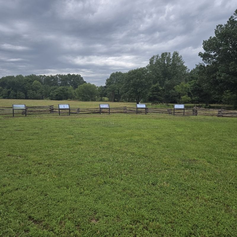
Marker is 1st from left
Also see . . .
1. Prairie D'Ane Battlefield. Nevada County Depot & Museum (Submitted on June 7, 2025.)
2. Prairie D'Ane Historic Site. Arkansas Department of Parks, Heritage, and Tourism (Submitted on June 7, 2025.)

Photographed by Mike McKeown, June 6, 2025
3. The Natural History of Piairie D'Anne Marker
Area overhead from map in Nevada County Depot

Photographed by Mike McKeown, June 6, 2025
4. The Natural History of Prairie D'Ane Marker
Gravel road to markers. Marker is the one on the left
Credits. This page was last revised on June 10, 2025. It was originally submitted on June 6, 2025, by Mike McKeown of Baltimore, Maryland. This page has been viewed 142 times since then and 28 times this year. Photos: 1, 2, 3. submitted on June 6, 2025, by Mike McKeown of Baltimore, Maryland. 4. submitted on June 8, 2025, by Mike McKeown of Baltimore, Maryland. • Bernard Fisher was the editor who published this page.
